Detailed Map - Husavik and Lake Myvatn (Iceland) | Idnu

Price
Regular price 2290 €
Regular price Sale price 2290 €
/
  • In stock in France and in the UK
    Shipped within 24 to 48h from the warehouse closest to you
  • Free returns (*)
  • Real-time stock levels
  • Cartovia Guarantee – Delivery issue?
    We resend immediately upon receiving a simple photo.
  • In stock, ready to ship
  • Backordered, shipping soon
Tax included.

Frequently bought together:

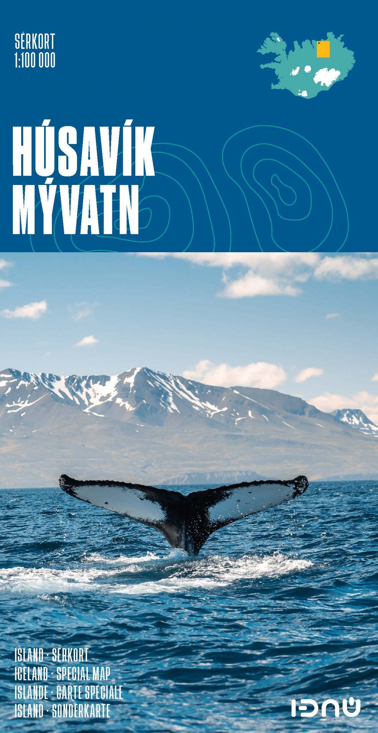
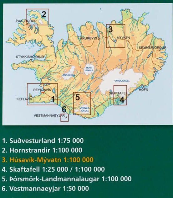
This topographic map of Lake Myvatn and Husavik is published by Ferdakort in the Sérkort series. It covers the Lake Myvatn area north to the town of Husavik on Iceland’s northern coast.

Coverage includes Húsavík, Aðaldalur Valley, the Mývatn area and Jökulsárgljúfur National Park. Contour lines, hiking trails, roads and tracks are shown.

The map is protected by a plastic cover. Scale: 1:100,000, where 1 cm = 1 km.


ISBN/EAN : 9789979675136
Publication date: 2021
Scale: 1/100,000 (1cm=1km)
Printed sides: front
Folded dimensions: 23.2 x 12.8cm
Unfolded dimensions: 62 x 84.5cm
Language(s): French, English, German, Icelandic
Weight: 75 g