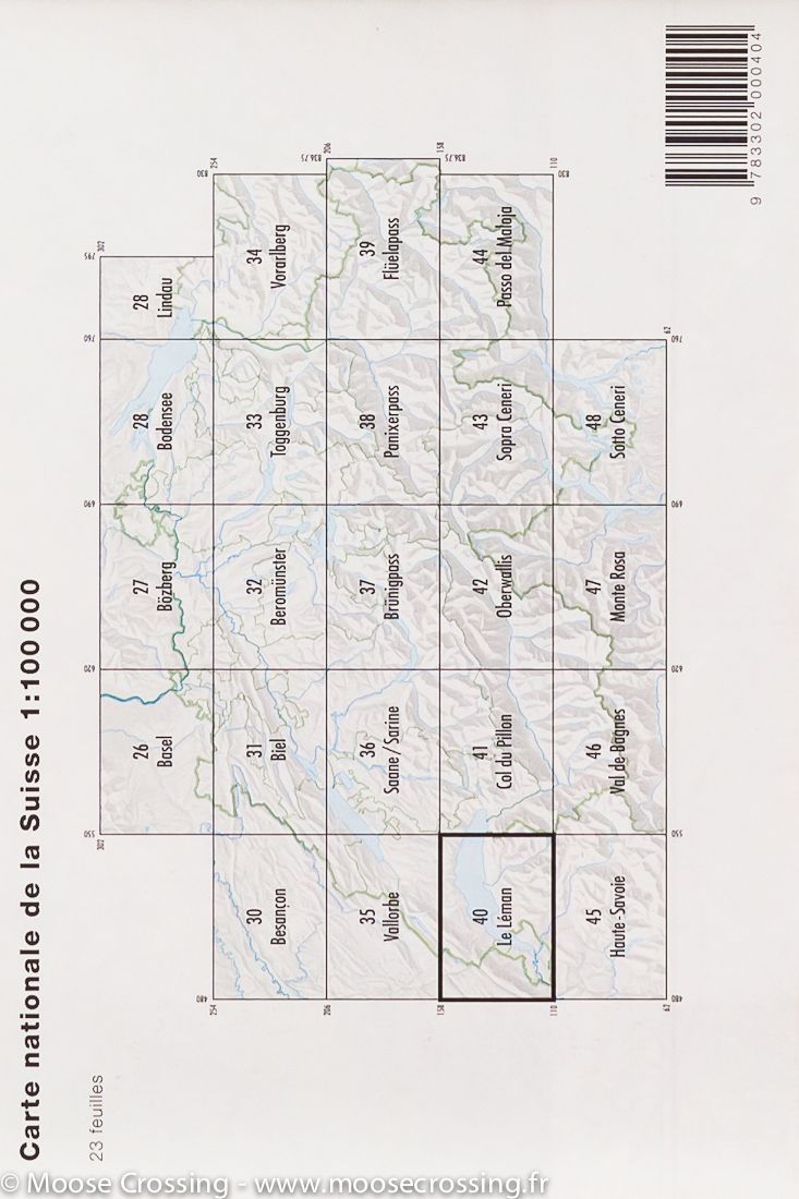
TOP 75 Map No. 7 - Between Lake Geneva and Mont Blanc | IGN

Price
Regular price 980 €
Regular price Sale price 980 €
/
  • Ships within 24 business hours from our warehouse in France
  • Free returns (*)
  • Real-time stock levels
  • Cartovia Guarantee – Delivery issue?
    We resend immediately upon receiving a simple photo.
  • In stock, ready to ship
  • Backordered, shipping soon
Tax included.

Frequently bought together:

Top 75 Topographic map of Lake Geneva, and Mont Blanc published by IGN. The map covers the area between Lake Geneva and Mont Blanc (from north to south) and Anemasse at Col des Montets (West East). Level curves, detailed legend and indication of hiking trails. Cities index.

This map includes 5 zooms at 1/25,000 scale to discover exceptional hikes.


ISBN/EAN : 9782758544708
Publication date: 2018
Scale: 1/75,000 (1cm=750m) & 1/25,000 (1cm=250m)
Printed sides: front
Folded dimensions: 24.6 x 11.2 x 0.7cm
Unfolded dimensions: 110x100cm
Language(s): French, English, German
Weight: 89 g