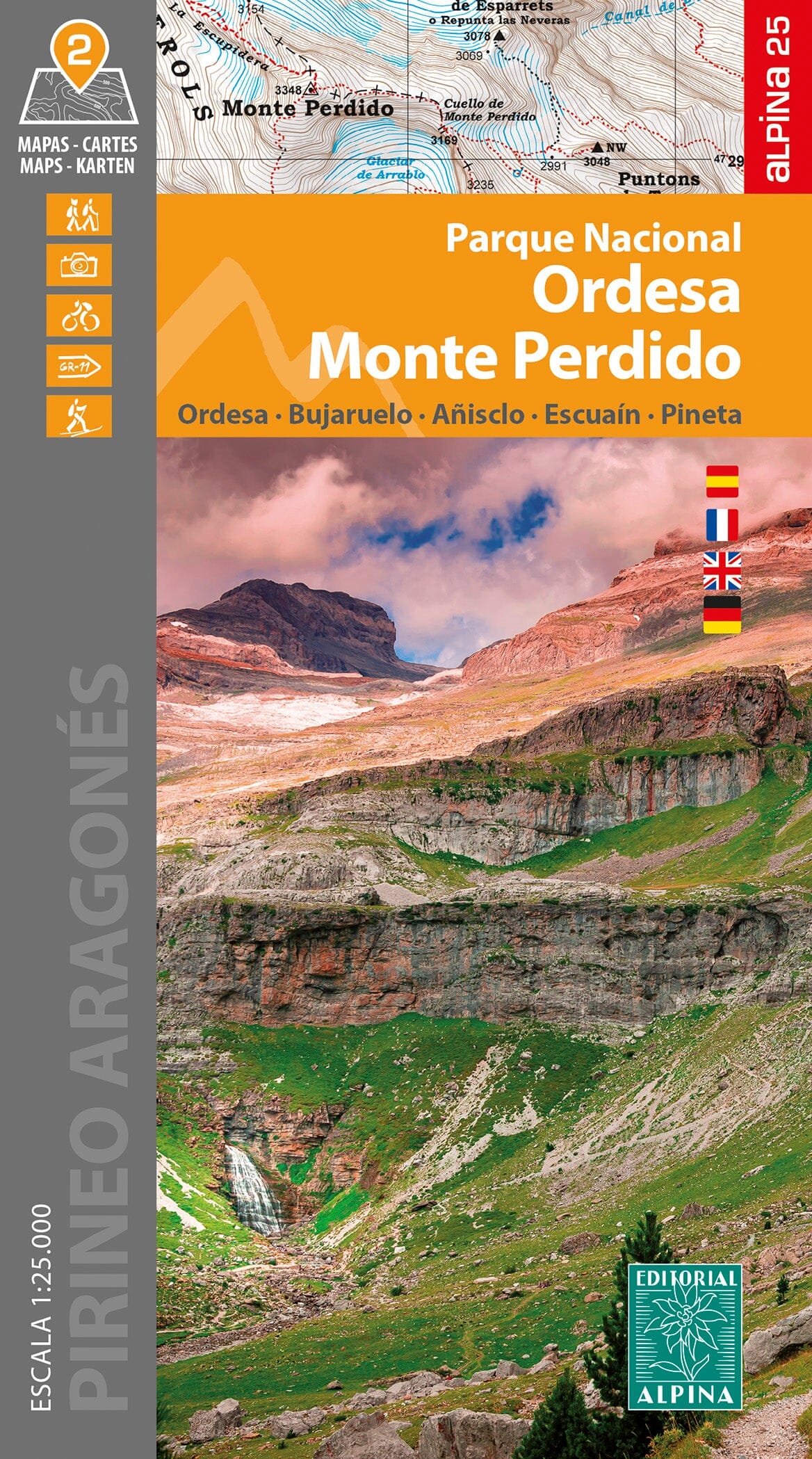
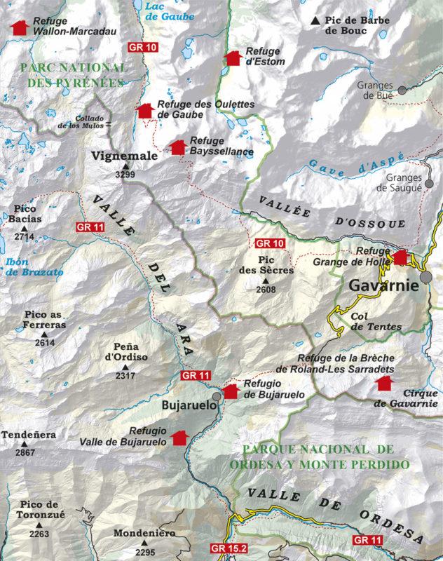
The IGN TOP 75 topographic map No. 19 covers the following area: Gavarnie, Luchon, Néouvielle, Aure Valley & Pic du Midi de Bigorre (Pyrenees).
It covers a large part of the central Pyrenees, known for its rich mountain scenery and diverse hiking routes.
The map shows the full road network, including motorways and main, secondary and local roads, providing access to outdoor sites such as trailheads, climbing areas and free-flight sites, as well as cultural and historical attractions including chapels, castles, caves, museums and leisure parks.
Cyclists and other two-wheel enthusiasts can also plan suitable routes using the cycle paths and full road network shown.
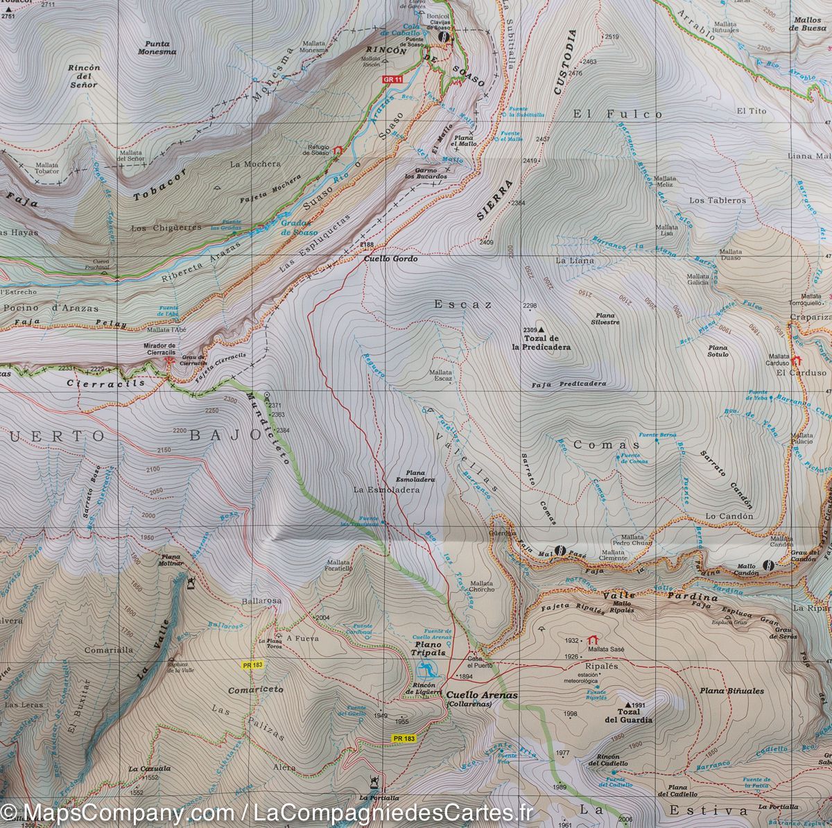
Contour lines and spot heights allow accurate assessment of elevation change and route difficulty, an essential aid when planning mountain hikes.
Designed specifically for hiking, TOP 75 maps include all the information needed outdoors:
- Local roads and FFRandonnée GR® and GR® de Pays trails;
- Contour lines, rocky areas and glaciers for assessing difficulty;
- Stopover accommodation and mountain huts for planning the stages;
- Tourist and cultural information, including viewpoints, notable buildings, caves and castles;
- A GPS grid for accurate positioning with a GPS device.
The map also includes 5 TOP 25 extracts at 1:25,000 scale, ideal for one- or two-day hikes in exceptional locations.
IGN mapping at this scale is recognised for its high accuracy, meeting the requirements of the most experienced hikers and mountaineers.