Hiking map - Hardangervidda East, Rjukan & Gaustatoppen | Calazo - 1:50,000

Price
Regular price 2495 €
Regular price Sale price 2495 €
/
  • In stock in France and in the UK
    Shipped within 24 to 48h from the warehouse closest to you
  • Free returns (*)
  • Real-time stock levels
  • Cartovia Guarantee – Delivery issue?
    We resend immediately upon receiving a simple photo.
  • In stock, ready to ship
  • Backordered, shipping soon
Tax included.

Frequently bought together:

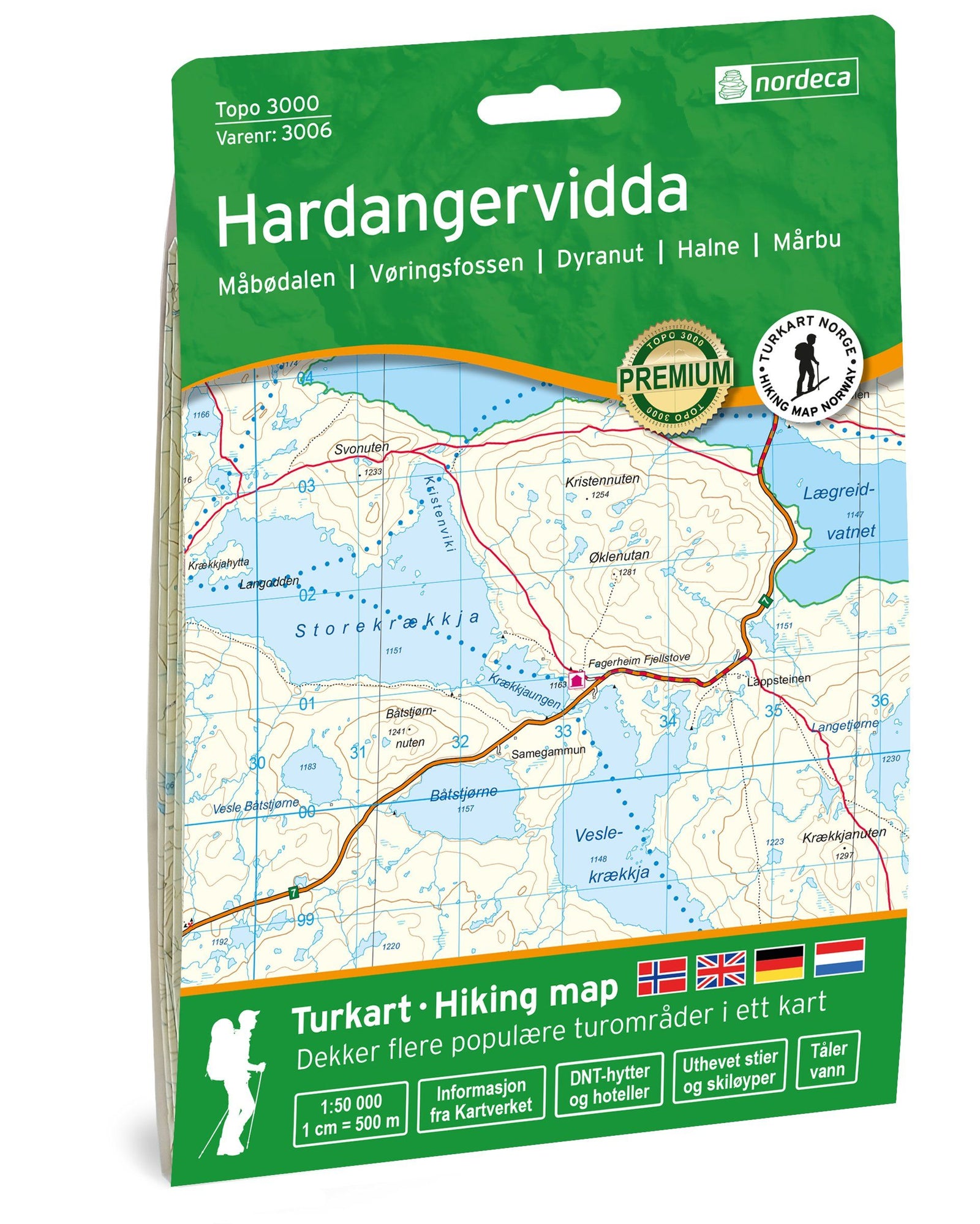
This Calazo hiking map covers the eastern Hardangervidda plateau, the Rjukan area and the famous Gaustatoppen peak, one of Norway's finest viewpoints. Its extremely precise cartography is ideal for hiking, trekking and mountain activities.

Part of Calazo's new generation of topographic maps, it uses terrain data obtained through airborne laser scanning (LIDAR), providing greater detail than traditional maps.

Features

  • Scale: 1:50,000.
  • Mapping based on high-precision LIDAR data.
  • Trails updated from recent aerial imagery.
  • Numerous paths missing from official databases included.
  • Detailed relief for easier terrain reading.
  • Printed on Tyvek®.

Area covered

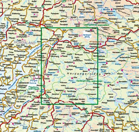
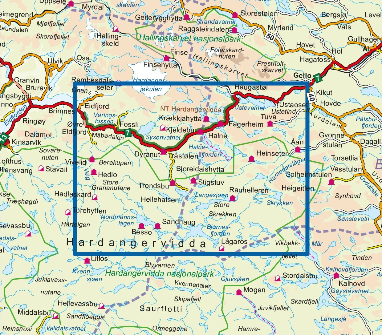
  • Eastern Hardangervidda.
  • Rjukan.
  • Gaustatoppen.
  • Surrounding hiking and mountain areas.

Highlights

  • Among the most precise maps available in Norway.
  • Topographic data from airborne laser scanning.
  • Trails checked and updated using aerial imagery.
  • Paths not shown on conventional maps added.
  • Excellent legibility for hiking and trekking.

Highly durable material

Printed on Tyvek®, known for being waterproof, highly tear-resistant, lightweight and durable, and suited to intensive mountain use in all weather.


ISBN/EAN : 9789189880276
Publication date: 2026
Scale: 1/50,000 (1cm=500m)
Printed sides: both sides
Folded dimensions: 13 x 21cm
Language(s): English, Norwegian
Weight: 52 g