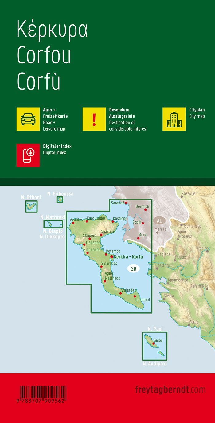
Detailed map of the Cephalonia Islands and IThaque published by Orama (Greek Editor). Level curves and relief indicated by color shades. Indication of beaches, ports, maritime connections and other points of interest. Plans of cities (Argostoli, Poros, Skala, Lixouri, Agios Efimia, Vathy Ithakis, Stavros Ithakis, Kioni Ithakis, Agios Andreas Ithakis, Pisaetos Ithakis, Pera Pigadi Ithakis).
texts in Greek and Latin alphabet. Multilingual legend (including French).
GPS compatible. Scale 1: 75 000 (1 cm = 750 m).
ISBN/EAN : 9789608283046
Publication date: 2019
Scale: 1/75,000 (1cm=750m)
Printed sides: both sides
Folded dimensions: 13 x 24.5cm
Unfolded dimensions: 70 x 98cm
Language(s): English, Greek
Weight:
81 g