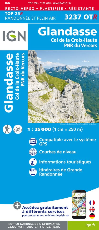
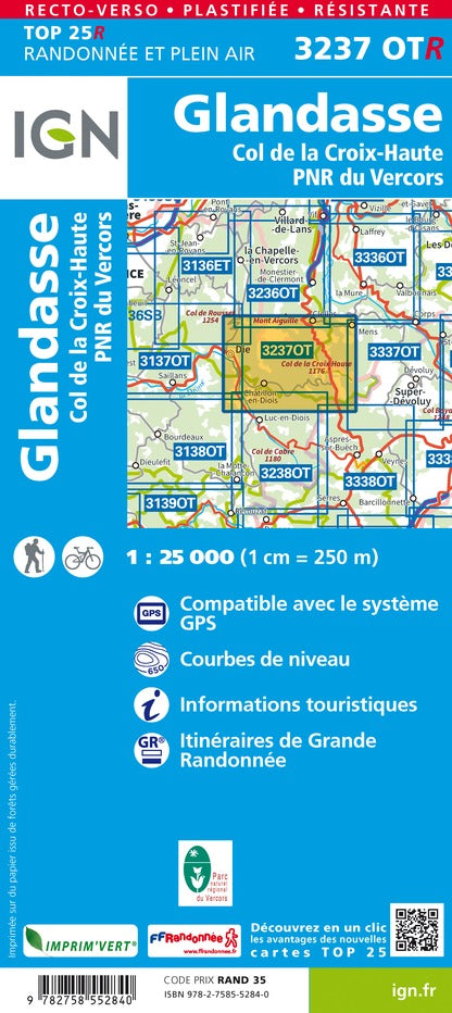
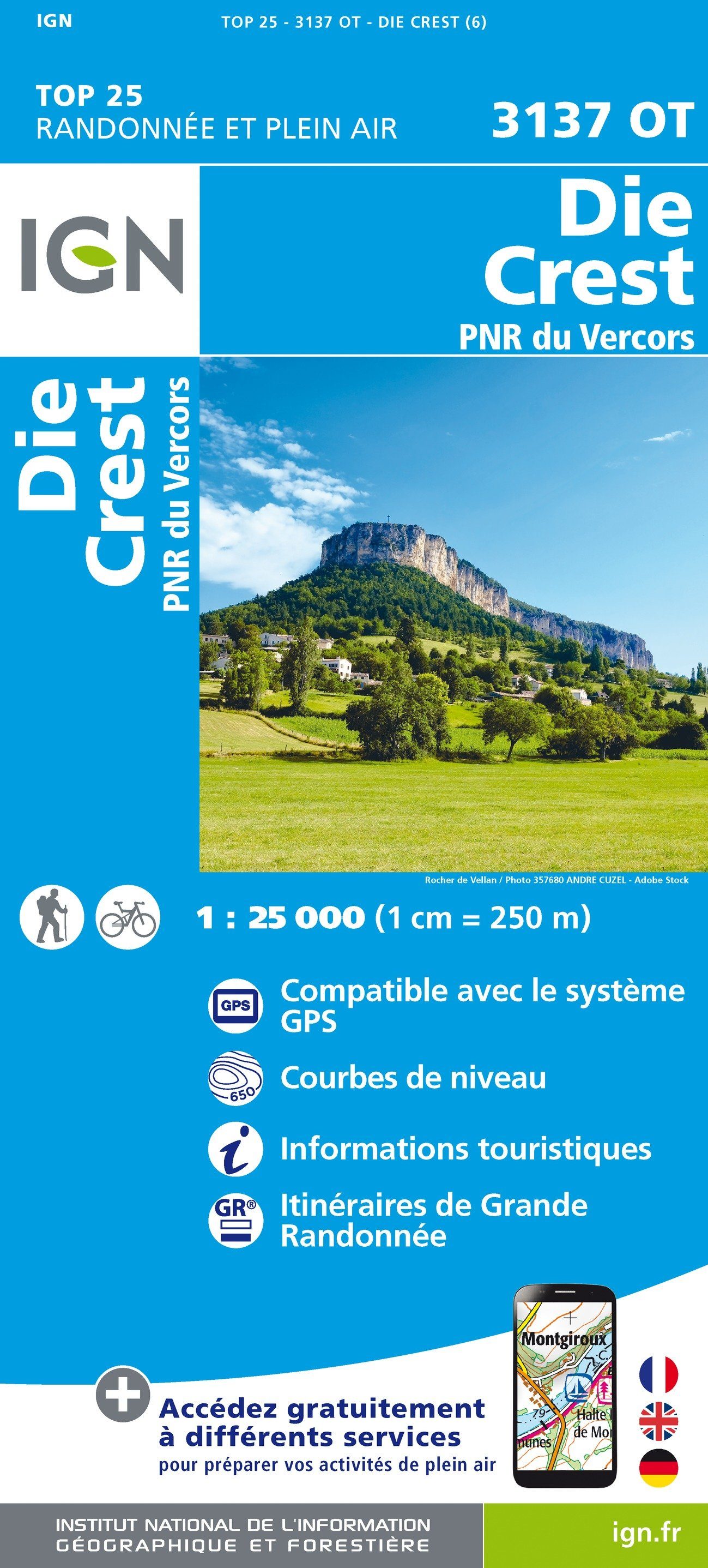
TOP 25 Map No. 3237 OTR (Resistant) - Glandasse & Col de la Croix-Haute (Vercors National Park, Alps) | IGN

Price
Regular price 1750 €
Regular price Sale price 1750 €
/
  • Made to order - Shipping within 5 to 8 working days
  • Cartovia Guarantee – Delivery issue?
    We resend immediately upon receiving a simple photo.
Tax included.

Often purchased together:

Top 25 Mountain Mountain map, high cross collar and part of the Vercors Regional Natural Park. This detailed map published by IGN extends from Monestie - de Clermont to Luc in Diois (from north to south) and Die to Mens (West in East).

Hiking map with space curves spaced 10 meters and detailed legend (vegetation, rocks, streams etc ...). Indication of hiking trails. Scale 1/25 000 (1 cm = 250).

- This map is printed on a laminated and tear - resistant support, ideal for the practice of outdoor activities.

- Duplex map: a reduced footprint that facilitates handling.


ISBN / EAN : 9782758552840
Date de publication : 2022
Echelle : 1/25,000 (1cm=250m)
Impression: both sides
Dimensions plié(e) : 23.6 x 11.2 x 0.5cm
Dimensions déplié(e) : 50 x 132cm
Langue : French, English, German
Poids : 84 g