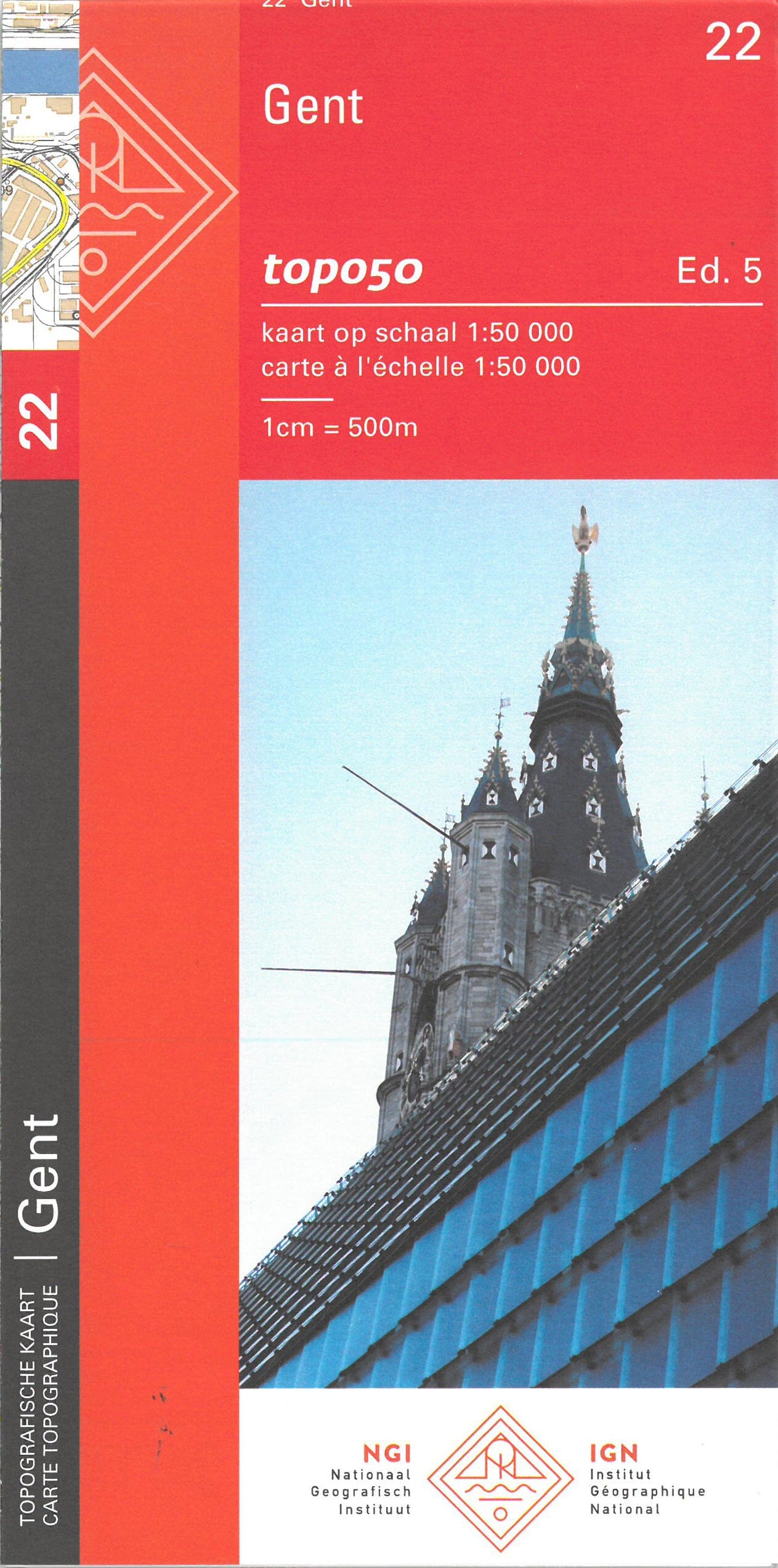
Topographic map No. 22 - Ghent (Belgium) | NGI - 1:50,000

Price
Regular price 850 €
Regular price Sale price 850 €
/
  • Shipped within 24 to 48h from our warehouse in France
  • Free returns (*)
  • Real-time stock levels
  • Cartovia Guarantee – Delivery issue?
    We resend immediately upon receiving a simple photo.
  • Low stock - 1 item left
  • Backordered, shipping soon
Tax included.

Frequently bought together:

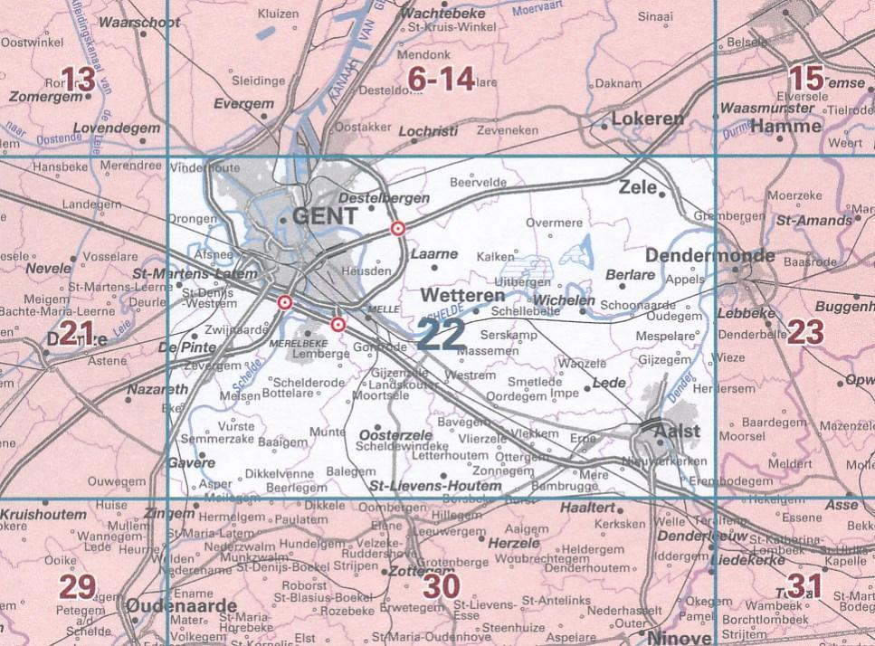
The topographic map of Ghent (Belgium), sheet 22, is at a scale of 1:50,000 (1 cm = 500 m).

Used by the Defence Department as a military map, the 1:50,000 map meets strict requirements for quality, completeness, accuracy and precision. It provides a clear overview of the area.

  • Area covered by each map: 640 km².
  • Contour lines and different colours distinguish forests, farmland, heathland and other land types.
  • GPS-compatible 1 km UTM grid with latitude and longitude graduations at 1-minute (1′) intervals.

This is a purely topographic map: usable paths are shown as lines, but are not specifically identified by colour.


ISBN/EAN : 9789462356207
Publication date: 2023
Scale: 1/50,000 (1cm=500m)
Printed sides: front
Folded dimensions: 13x24cm
Language(s): French, Flemish
Weight: 50 g