Travel Map - Eastern Europe: Roads & Railways | ITM

Price
Regular price 1350 €
Regular price Sale price 1350 €
/
  • Shipped within 24 to 48h from our warehouse in France
  • Free returns (*)
  • Real-time stock levels
  • Cartovia Guarantee – Delivery issue?
    We resend immediately upon receiving a simple photo.
  • In stock, ready to ship
  • Backordered, shipping soon
Tax included.

Frequently bought together:

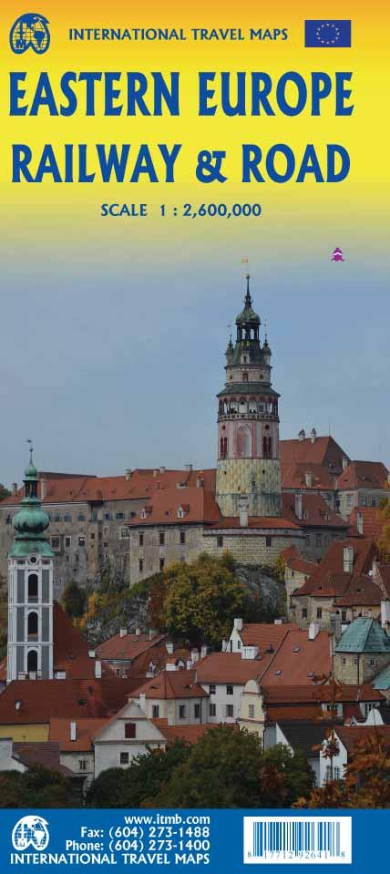
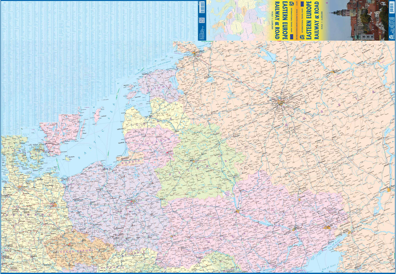
This road and railway map of Eastern Europe, published by ITM, combines major road and rail routes.

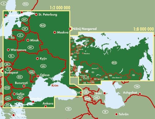
  • Covers Italy, Greece, the Balkans, Romania, Hungary, much of Ukraine and Poland, the Baltic states, western Russia to Volgograd and a large part of Turkey.
  • High-speed rail lines in red and regular services in black.
  • Main cruise routes shown.
  • The legend includes motorways, ferry crossings, borders, national parks, airports, ports, historic sites and monuments.


ISBN/EAN : 9781771292641
Publication date: 2021
Scale: 1/2,600,000 (1cm=26km)
Printed sides: both sides
Folded dimensions: 24.6 x 10.3 x 0.5cm
Unfolded dimensions: 100 x 68cm
Language(s): English
Weight: 54 g