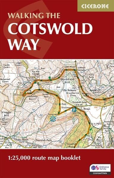
The Ordnance Survey Explorer hiking map No. 350 shows the following area: Edinburgh (Great Britain). At a scale of 1:25,000 (1 cm = 250 m), it is ideal for hiking and other outdoor activities, such as mountain biking and horse riding.
The highly detailed mapping makes it easier to navigate through the countryside. It shows:
- National trails and recreational walking routes, picnic areas, viewpoints and a selection of monuments.
- All administrative boundaries, the road network, unfenced roads, country roads, field boundaries (hedges and brick walls) and small isolated farms.
- Steep slopes, monuments, high-voltage power lines, archaeological sites, mills, churches and lighthouses.
- Natural terrain features represented by symbols, including rocks, scree, muddy ground and different types of vegetation.
Tourist information includes campsites, Park & Ride facilities, leisure and sports centres, museums, historic monuments, English heritage sites, national monuments and buildings, and rural pubs.
The map is fully GPS-compatible. The legend is in English; tourist information is also provided in French and German.
Maps in this series can be supplied in a flexible laminated version.
Map sheet No. 350 is ideal for exploring Edinburgh and its surrounding area. Scotland’s capital offers many sights to visit, including Edinburgh Castle, the National Museum of Scotland and Edinburgh Zoo, as well as shopping areas such as Princes Street.
The map also covers the area around the city, including Musselburgh and Queensferry.