Hiking map No. 23 - Cinque Terre and Gulf of Tigullio | Istituto Geografico Centrale -1:50,000

Price
Regular price 1450 €
Regular price Sale price 1450 €
/
  • Ships within 5 to 8 working days
    (Currently in transit to our warehouse in France)
  • Cartovia Guarantee – Delivery issue?
    We resend immediately upon receiving a simple photo.
Tax included.

Often purchased together:

Map of trails and mountain huts in Cinque Terre and Golfo del Tigullio, showing the Alta Via Monti Liguri, Alta Via Cinque Terre and Alta Via del Golfo di La Spezia routes.

It includes the following areas

Camogli - Chiavari - La Spezia - Tableau noir - Lerici - Levanto - Portofino - Portovenere - Rapallo - Recco - Sestri Levante - Santa Margherita Ligure

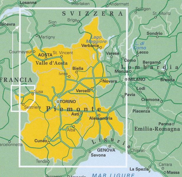
This map series covers the Italian-Swiss and French-Italian borders and the coastal area southeast of Genoa as far as the French border.


ISBN/EAN : 9788896455234
Publication date: 2009
Scale: 1/50,000 (1cm=500m)
Folded dimensions: 12x22cm
Unfolded dimensions: 30.31 x 40.94 inches / 77 x 104cm
Language(s): French, English, German, Italian
Weight: 80 g