Laminated hiking map - Everest | TerraQuest

Price
Regular price 1590 €
Regular price Sale price 1590 €
/
  • Shipped within 24 to 48h from our warehouse in France
  • Free returns (*)
  • Real-time stock levels
  • Cartovia Guarantee – Delivery issue?
    We resend immediately upon receiving a simple photo.
  • In stock, ready to ship
  • Backordered, shipping soon
Tax included.

Frequently bought together:

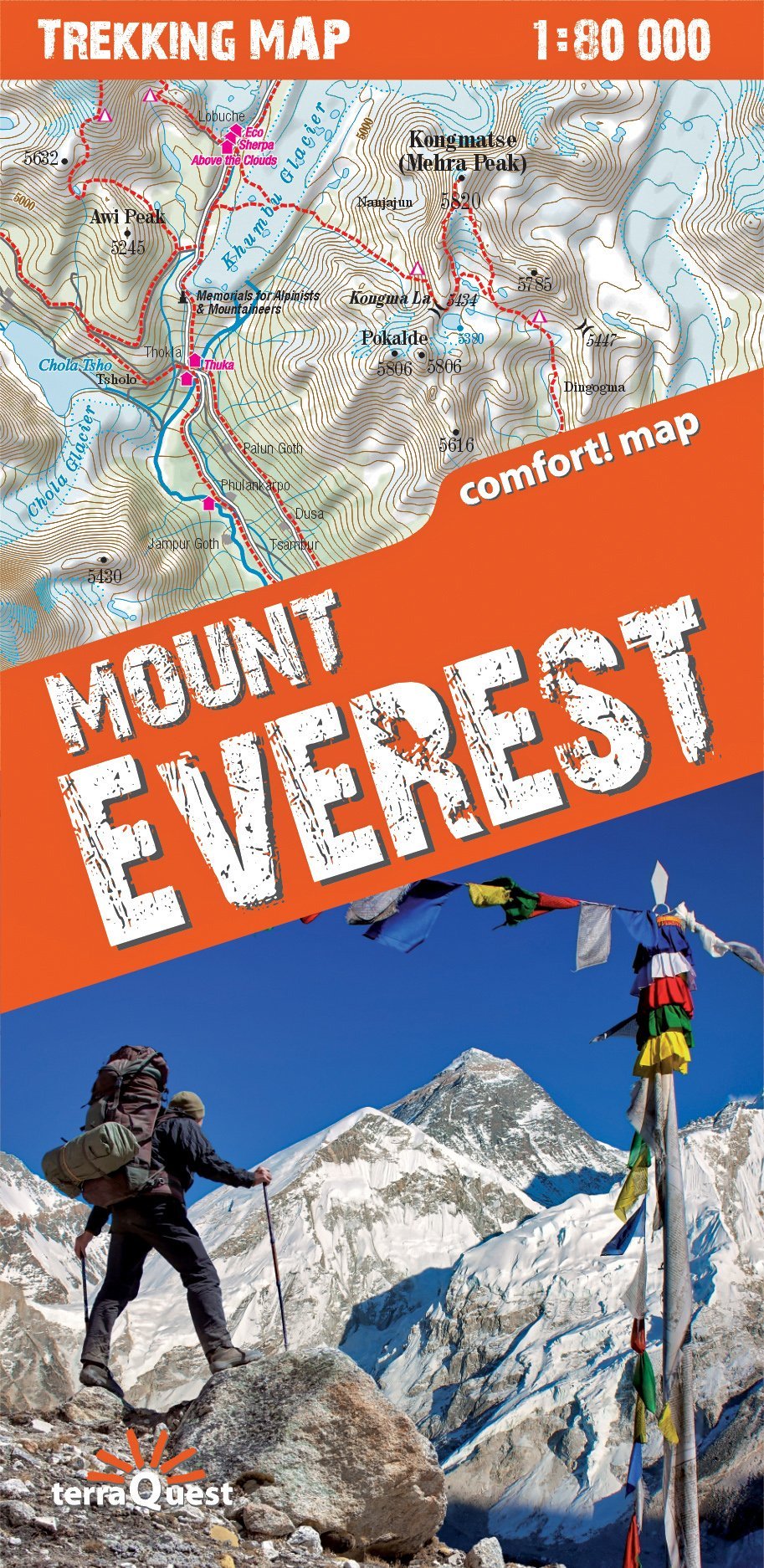
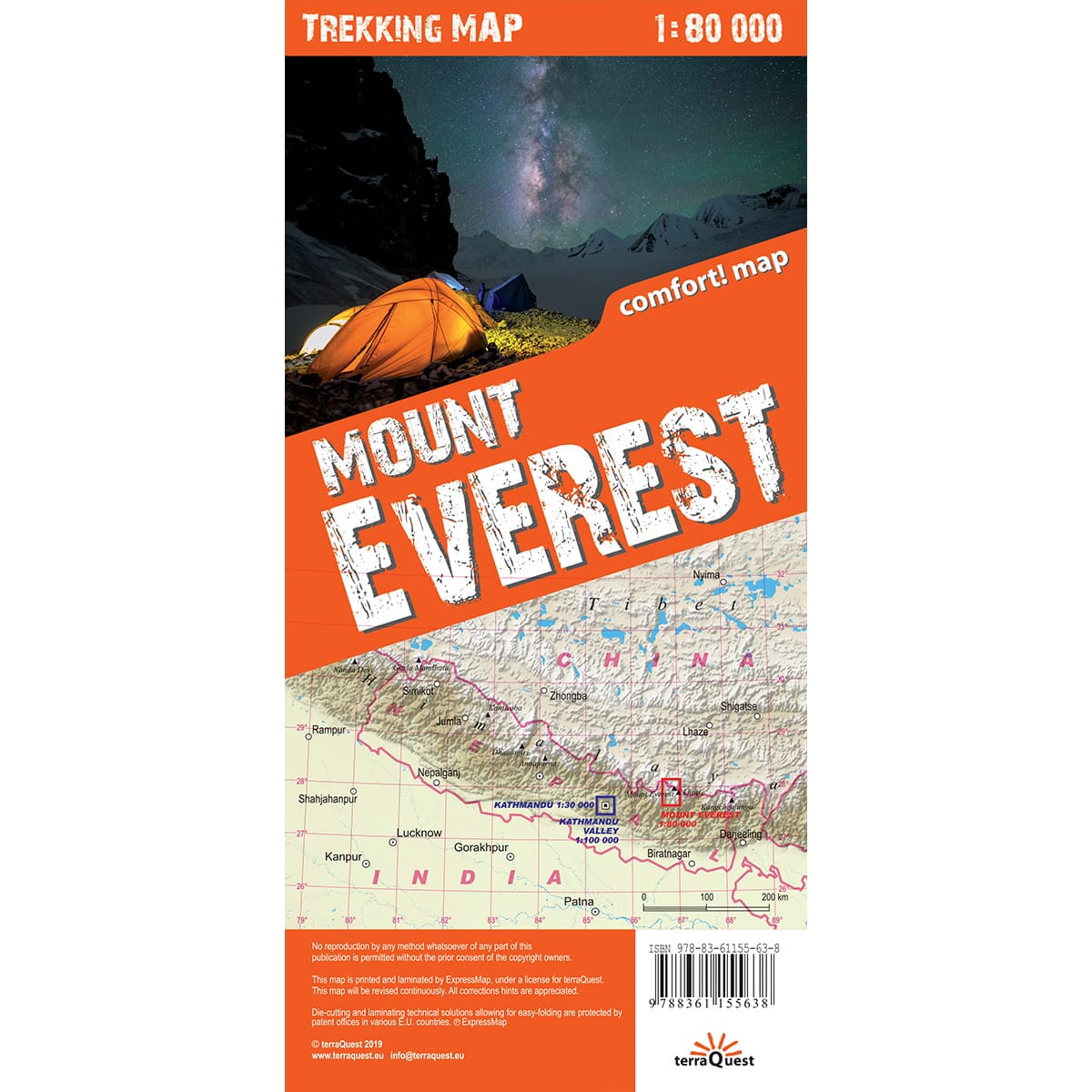
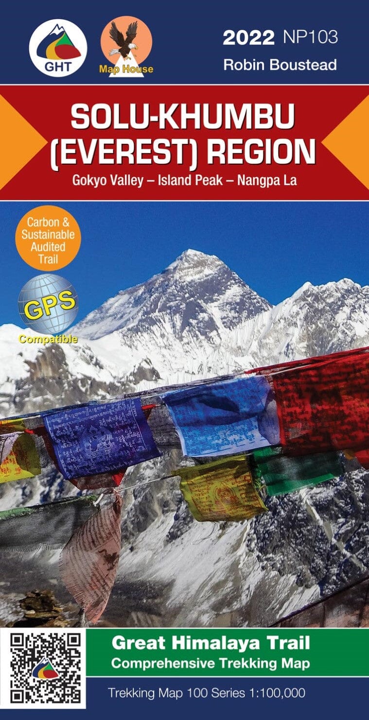
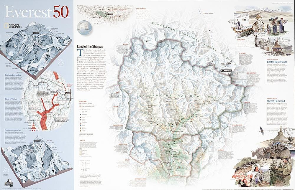
This double-sided, laminated map of the Everest massif in the Nepalese Himalayas is specially designed for active travellers trekking in Nepal. It offers comfortable handling.

Everest region: trekking map at 1:80,000

The map covers a wide area: from Lukla in the south to the Goyko lakes in the west, Island Peak in the east and the Tibetan border in the north.

  • Detailed tourist information: trekking routes, natural sights, tourist facilities and other interesting landmarks.
  • Shaded relief.
  • GPS compatibility: geographical coordinates in the WGS-84 system.

Kathmandu Valley: tourist map at 1:100,000

  • Detailed tourist information: trekking routes, natural sights, tourist facilities and other interesting landmarks.
  • Complete topographic content: roads, water features and numerous place names.
  • Shaded relief.
  • GPS compatibility: geographical coordinates in the WGS-84 system.

Kathmandu: city plan at 1:30,000

  • Complete topographic content: buildings, green spaces, the street network and detailed place names.
  • Extensive tourist information: accommodation, restaurants, petrol stations and more.


ISBN/EAN : 9788361155638
Publication date: 2019
Scale: 1/80,000 (1cm=800m)
Printed sides: both sides
Folded dimensions: 24 x 11.2 x 0.5cm
Unfolded dimensions: 100 x 49cm
Language(s): English
Weight: 126 g