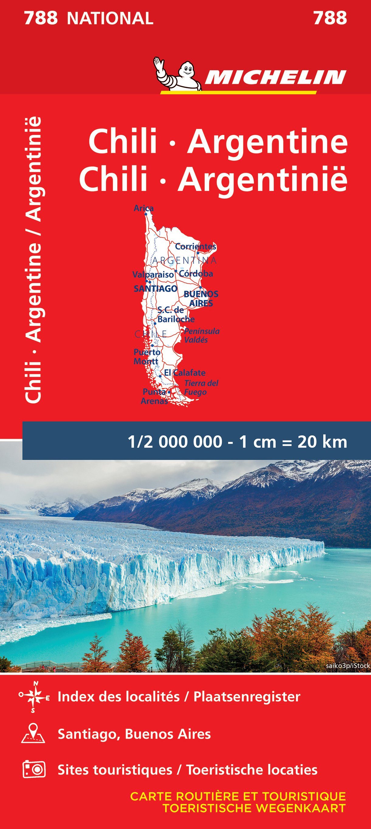
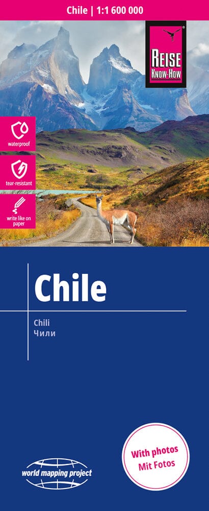
Rapa Nui / Easter Island: Travel and Trekking Map | Trekking Chile
Regular price
2095 €
Regular price
Sale price
2095 €
/
- Free returns (*)
- Real-time stock levels
-
Cartovia Guarantee – Delivery issue?
We resend immediately upon receiving a simple photo.