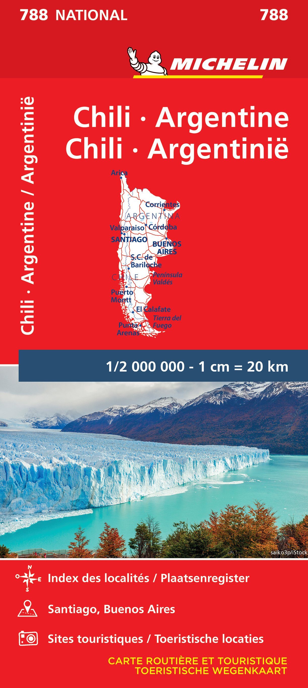
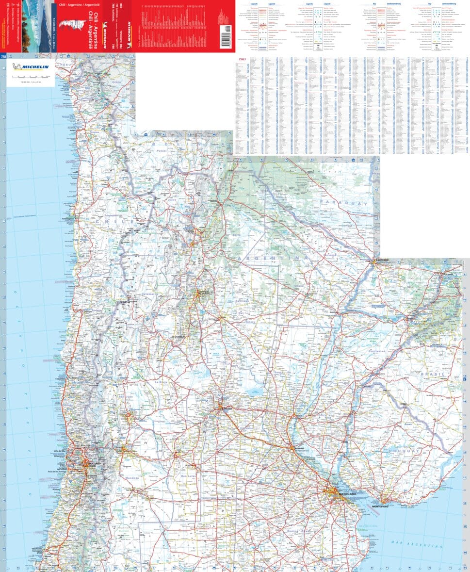
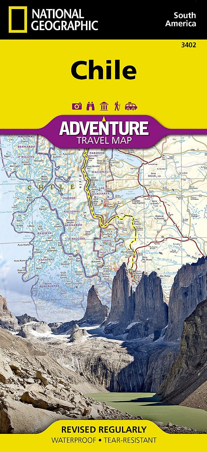
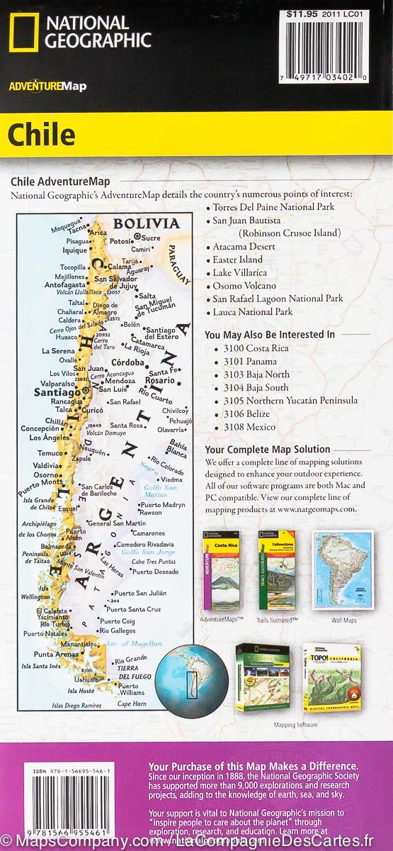
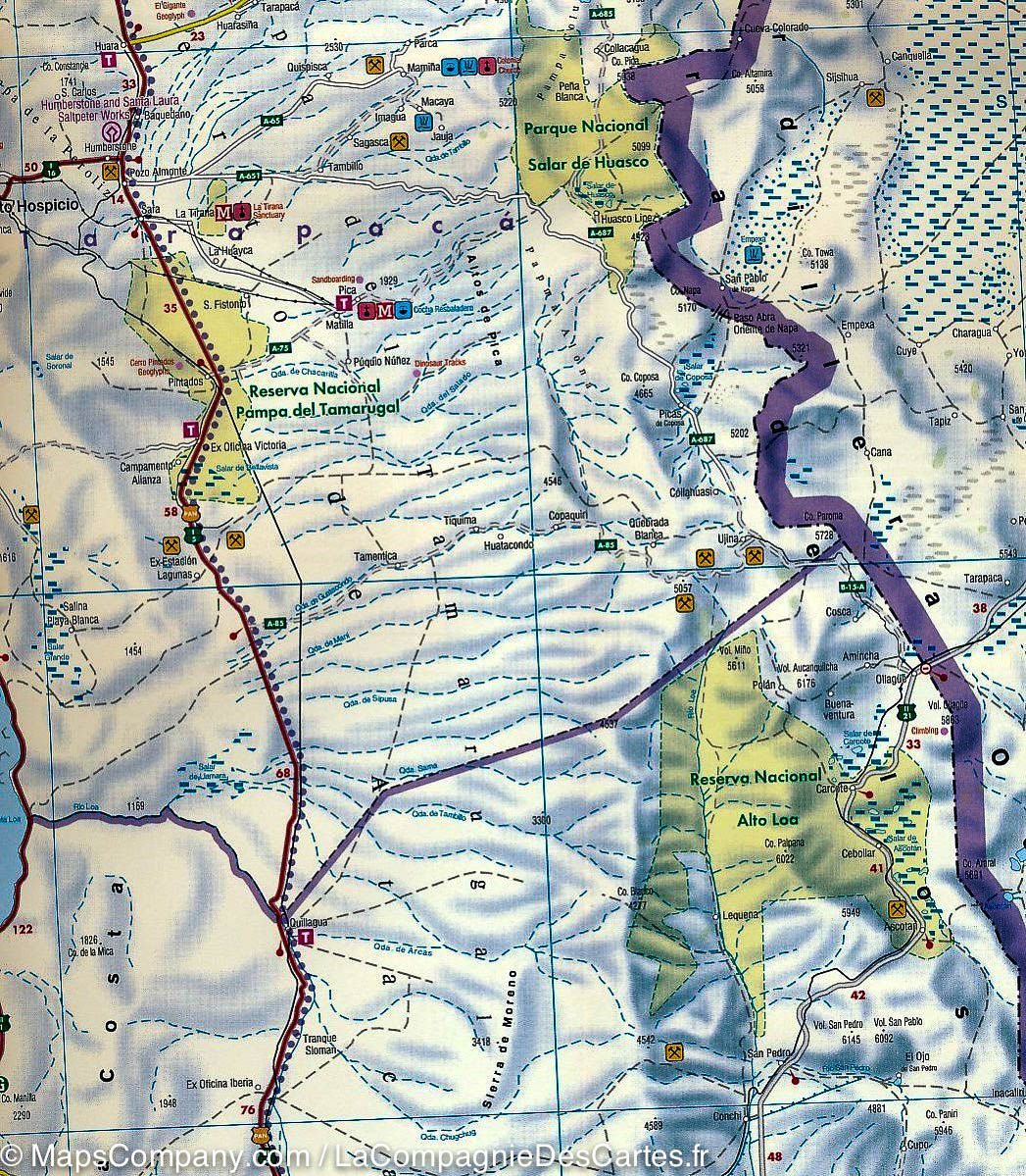
Tourist map no. 5 - Maule y Bio Bio (Chile) | COPEC

Price
Regular price 1427 €
Regular price Sale price 1427 €
/
  • Ships within 48 business hours from our US warehouse. Customs charges may apply for deliveries outside the United States
  • Free returns (*)
  • Real-time inventory
  • Cartovia Guarantee – Delivery issue?
    We resend immediately upon receiving a simple photo.
  • In stock, ready to ship
  • Backordered, shipping soon
Tax included.

Often purchased together:

This set of two detailed maps of south-central Chile covers 530 kilometers from north to south , from Rengo/Pichilemu to Lake Caburgua . The maps are printed on both sides , providing continuous reading and excellent coverage of the regions traversed, from the Pacific coast to the central valleys and Andean areas.

They highlight many major natural areas : the Río Cipreses National Reserve , the Siete Tazas National Park , the Altos de Lircay National Reserve , the Ñuble, Ralco and Malleco National Reserve , as well as the Conguillío and Huerquehue National Parks.
The map also includes the entire coastline from Pichilemu to Tirúa , ideal for travellers wishing to combine coastal road , natural parks and volcanic areas.

An ideal resource for planning a road trip , a car , campervan or motorcycle trip, or for exploring the diverse landscapes of central-southern Chile.


Features :

  • 2 double-sided printed cards

  • Coverage of 530 km

  • From Rengo / Pichilemu to Lake Caburgua

  • Coastal road Pichilemu → Tirúa

  • National parks and major nature reserves

  • Mapping adapted for travel and exploration


ISBN/EAN : 9789569248702
Publication date: 2025
Scale: 1/400,000 (1 cm = 4 km)
Folded dimensions: 9.45 x 3.94"
Unfolded dimensions: 100x70cm
Language(s): English Spanish
Weight: 125 g