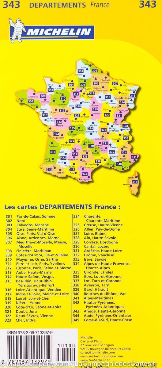
The essential hiking map! These highly accurate topographic maps contain all the details existing on the ground: communication routes down to the smallest path, buildings down to the shed, woods, isolated trees, rivers, springs... Not forgetting the representation of the relief by contour lines.
Municipalities covered : Les Aix-d'Angillon, Sancerre, Verdigny, Menetou-Râtel, Ménétréol-sous-Sancerre, Thauvenay, Sens-Beaujeu, Morogues, Crézancy-en-Sancerre, Humbligny, Rians, Jalognes, Vinon, Lugny-Champagne, Bué, Feux, Henrichemont, Groises, Parassy, La Chapelotte, Montigny, Aubinges, Neuilly
Places to discover : Cod Pond, Charnes Woods, Vesvre Tower, Maupas Castle, Dietzs Garden, Linard Cathedral, Marie's Garden


