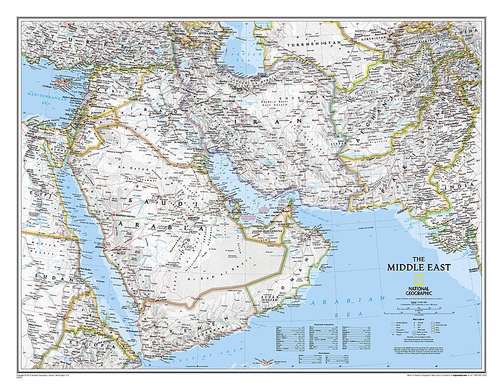
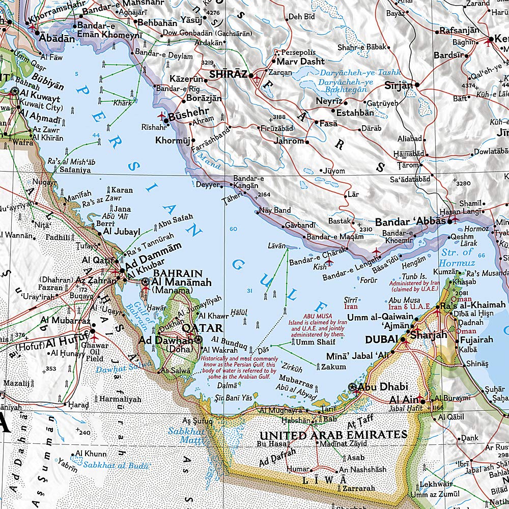
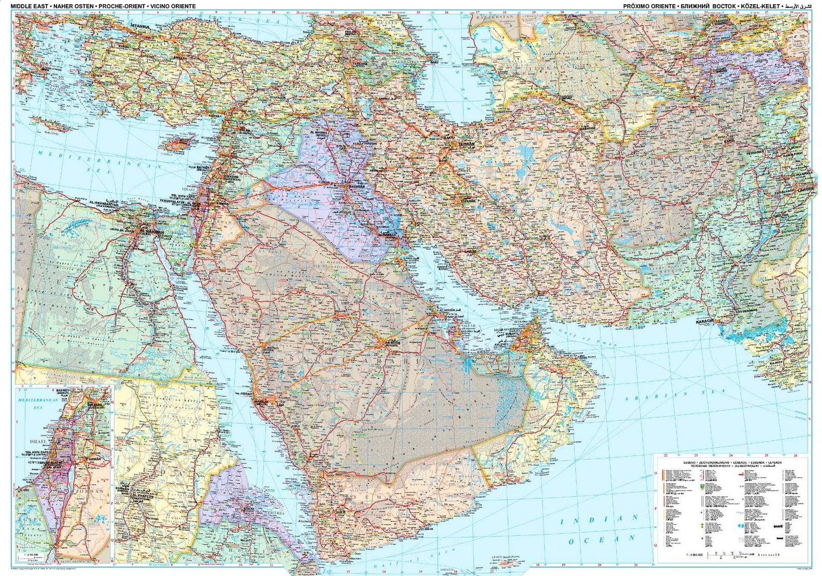
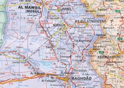
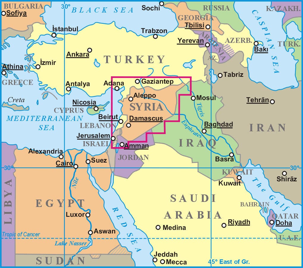
Laminated Wall Map - Iraq, Classic Style | National Geographic
- Free returns (*)
- Real-time stock levels
-
Cartovia Guarantee – Delivery issue?
We resend immediately upon receiving a simple photo.
🧭 Latest editions only - best publishers
🧭 Always the latest editions - curated from the world’s best publishers
20,000+ maps 🗺️ hiking, travel, posters in stock
Over 20,000 maps 🗺️ and travel guides, hiking maps, posters, globes, and décor items in stock!
Rated Excellent 4.8 ⭐️ - 9,100+ reviews on Trustpilot
Rated Excellent 4.8 ⭐️ on Trustpilot - 9,100+ reviews from explorers and map lovers worldwide.
Iraq Wall Map (Classic, Laminated) published by National Geographic.
This map of Iraq is one of the most detailed and comprehensive maps available of this historic country in the heart of the Fertile Crescent. With its vibrant color palette and precise shaded relief, this wall map is as attractive as it is functional.
The entirety of Iraq is depicted, along with the bordering areas of Iran, Syria, Saudi Arabia, Kuwait, Jordan, and Turkey. Hundreds of place names are displayed in an easy-to-read font, in addition to map motifs depicting deserts, lava fields, swamps, dry salt lakes, and intermittent lakes. Major infrastructure networks such as highways, roads, aqueducts, canals, oil fields and pipelines, railways, and airports are also mapped.
Scale: 1:1,778,000.
Map size: 21.06 x 25.2 inches.
ISBN/EAN
: 9781597753678
Publication date: 2010
Unfolded dimensions: 21.06 x 25.2 inches (53.5 x 64cm)
Language(s): English
Weight:
110 g
The exclusive newsletter for travel and discovery enthusiasts!