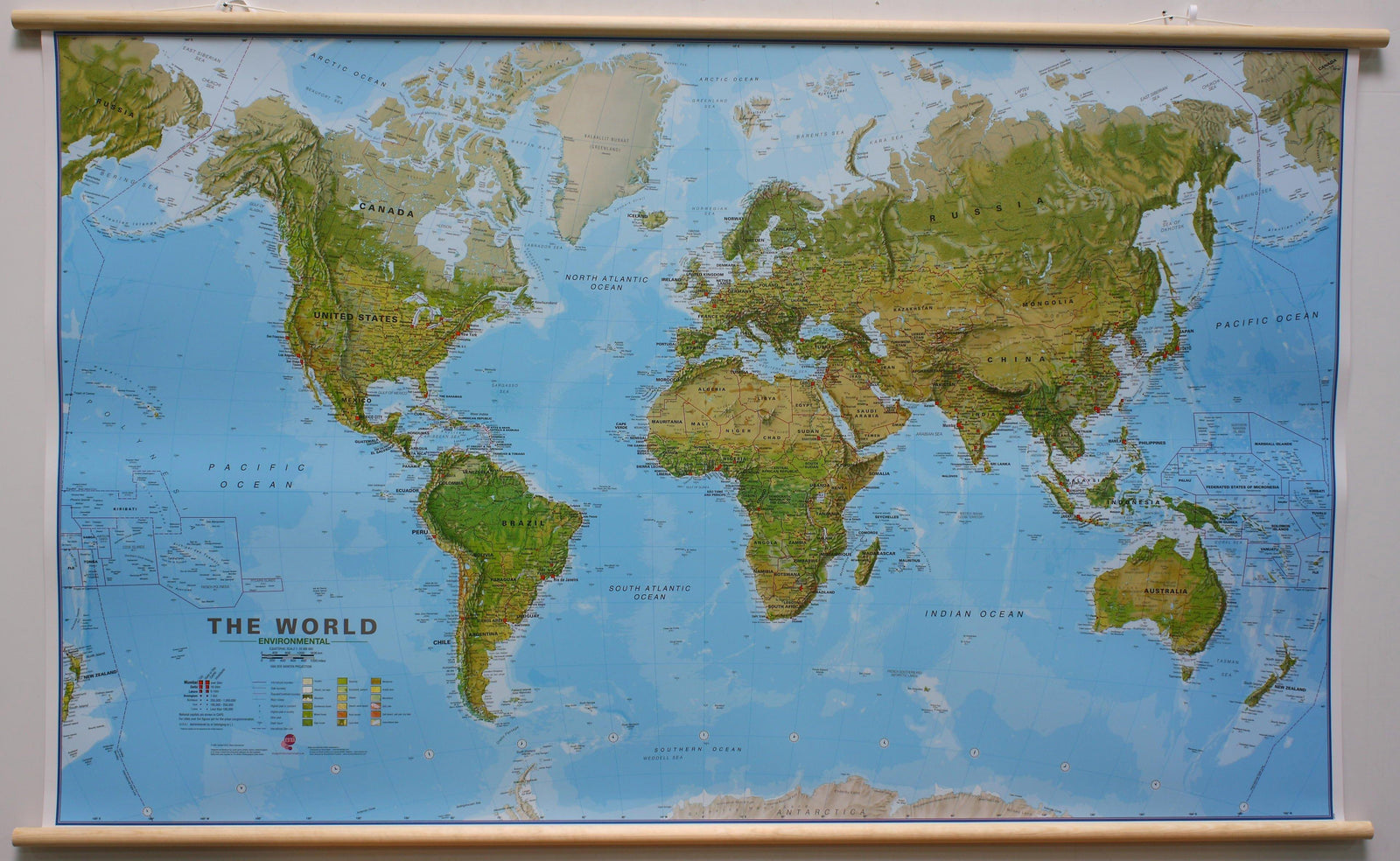
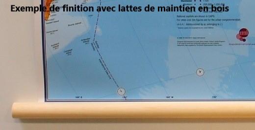
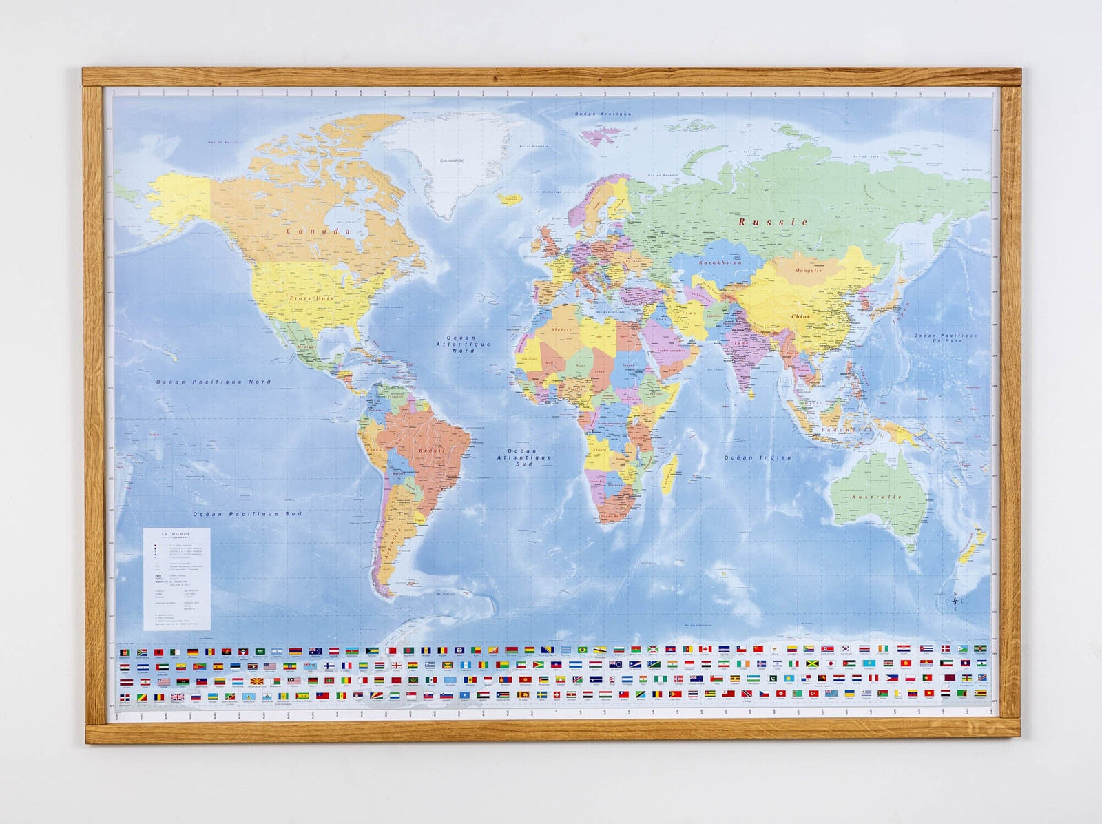
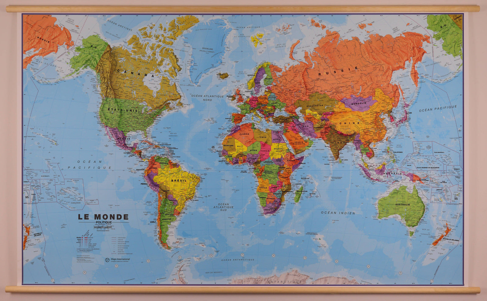
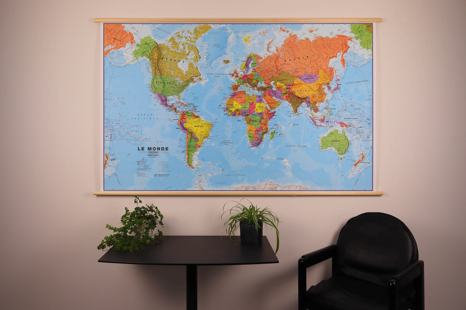
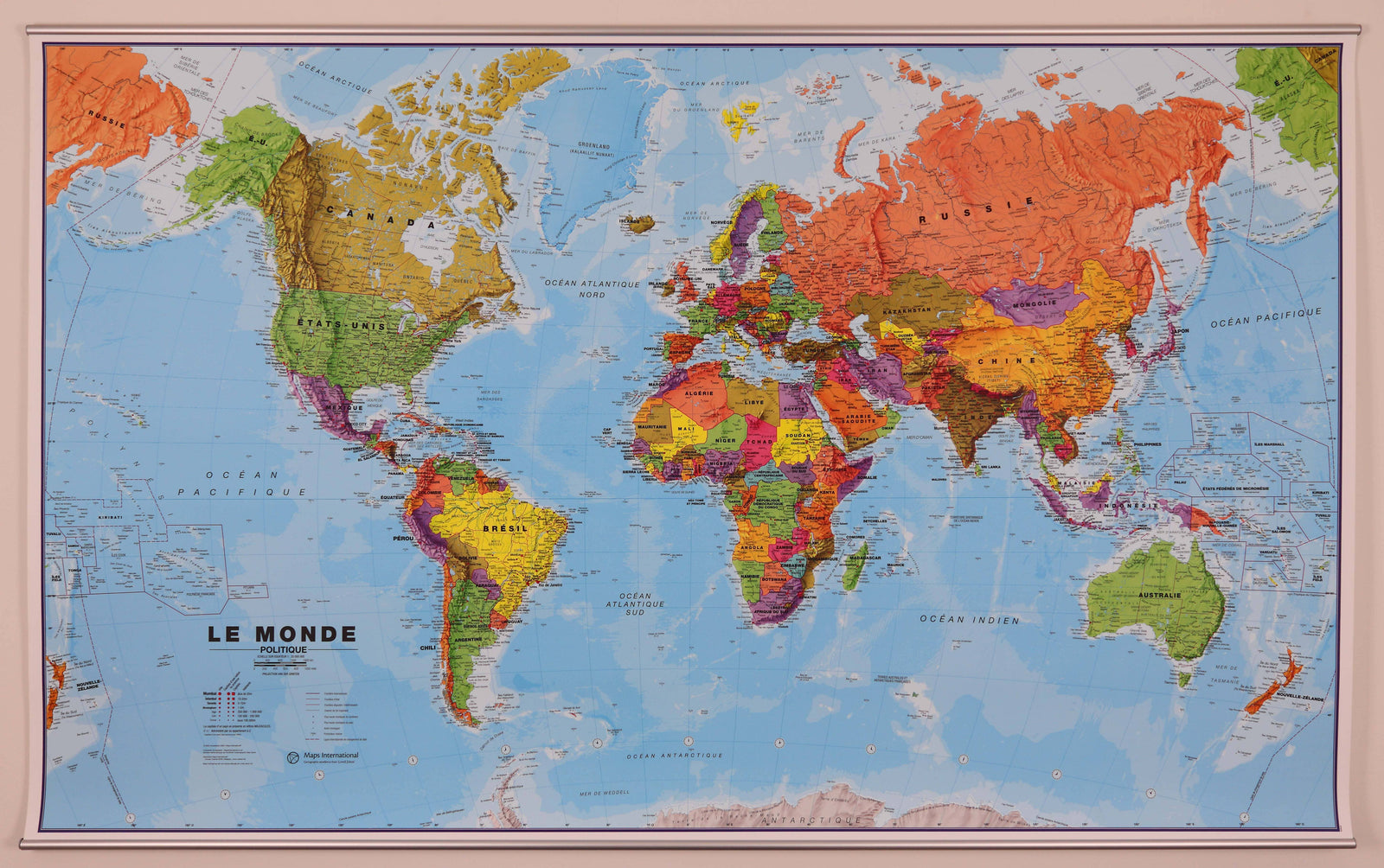
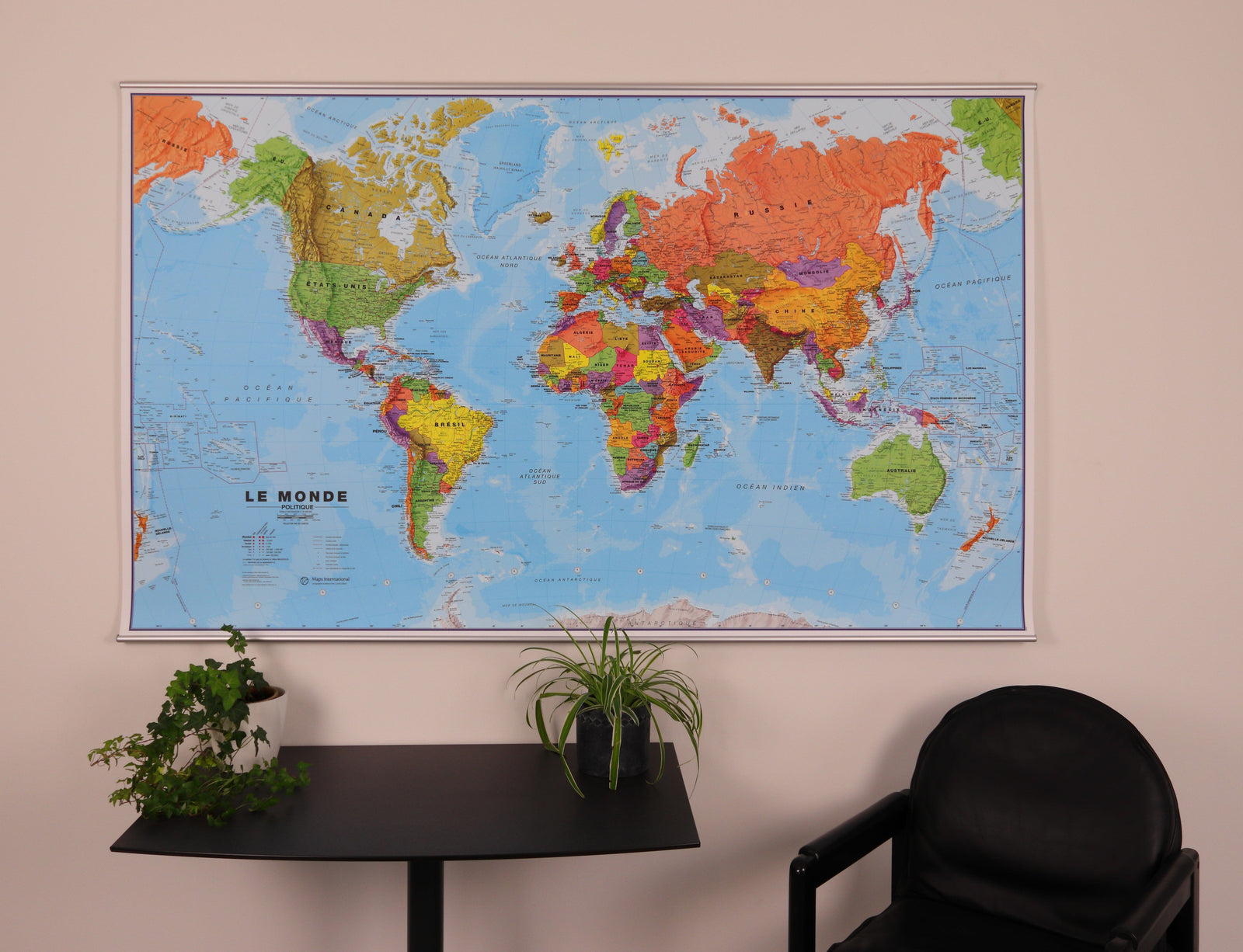
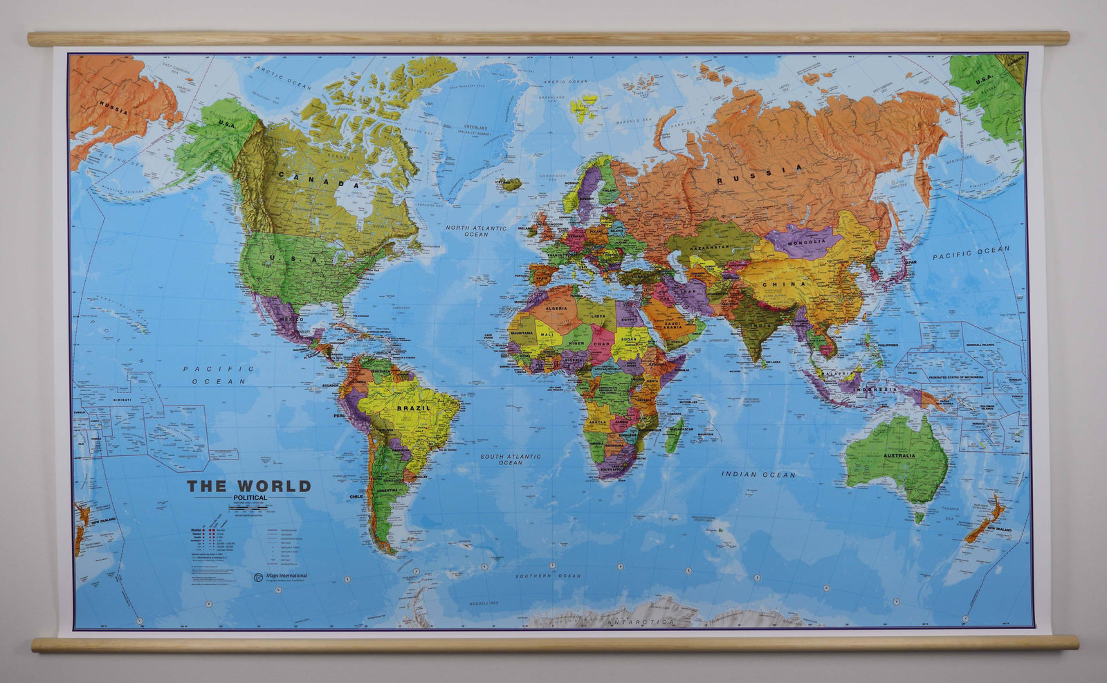
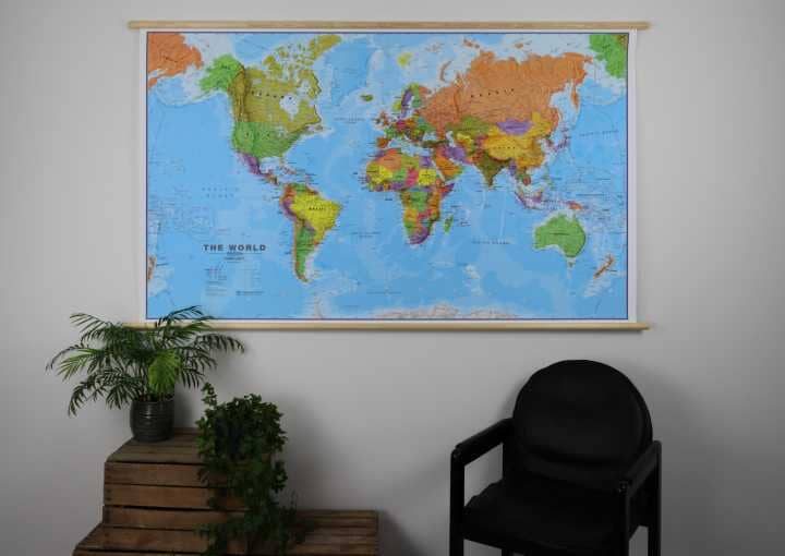
This giant laminated environmental world wall map in English, published by Maps International, measures 198 x 123 cm and is fitted with wooden hanging rails for easy display.
The physical mapping distinguishes different types of vegetation and terrain, including tundra, glaciers and ice caps, coniferous and mixed forests, savannas, grasslands and steppes, sandy and rocky deserts, lava fields and salt lakes. Shaded relief gives mountains an almost three-dimensional appearance, while symbols identify the highest mountains on each continent and in individual countries.
Country names and borders are clearly marked, together with national capitals and, where possible, state or provincial capitals. Internal state or provincial boundaries are also shown for the United States, Canada, Brazil and Australia.
Ocean depths are represented by several colour shades. The central Pacific, from Alaska/Siberia to New Zealand, is repeated at both edges of the map for a clearer representation of the region.
An additional production time of around one week should be allowed. This product is made to order and cannot be returned.