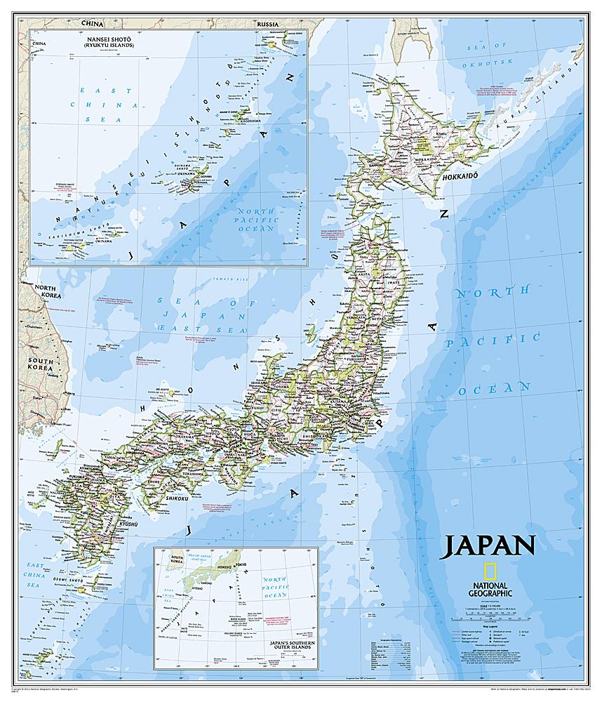
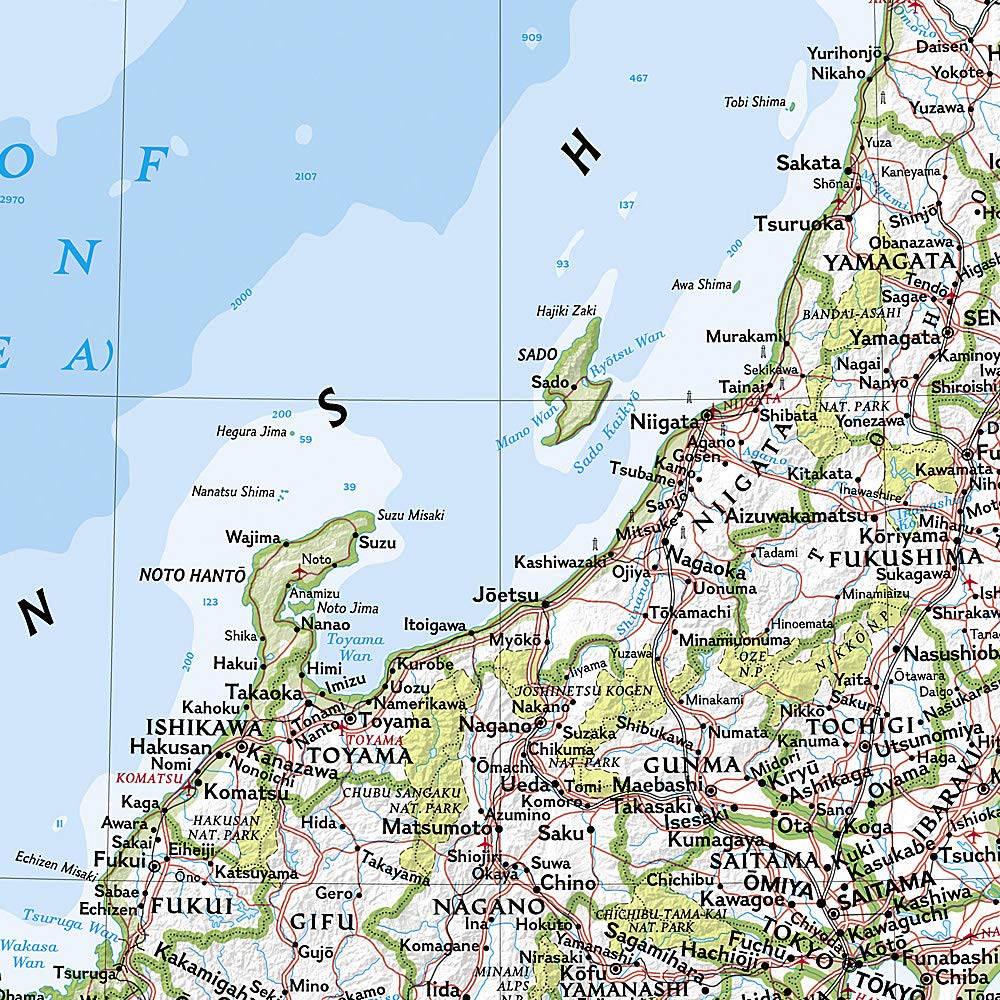
Explore the geography of Japan with this beautifully detailed wall map from National Geographic. Known for its cartographic excellence, this map combines political and physical elements, featuring vivid colors, shaded relief, and deep blue oceans.
It includes thousands of place names, administrative boundaries, national parks, major roads, highways, railways, and airports. Coastal waters are shown with bathymetric contour lines and depth soundings.
Inset maps provide additional details of Japan’s southern outlying islands and the Ryukyu Islands. A dedicated section also presents key information on the 2011 Tōhoku earthquake and tsunami.
Key features:
-
Political and physical map of Japan
-
Classic shaded relief from National Geographic
-
Complete road, rail, and air networks
-
Coastal depths with contours and soundings
-
Insets: southern islands & Ryukyu
-
2011 earthquake/tsunami info included
Perfect for classrooms, offices, or geography enthusiasts.