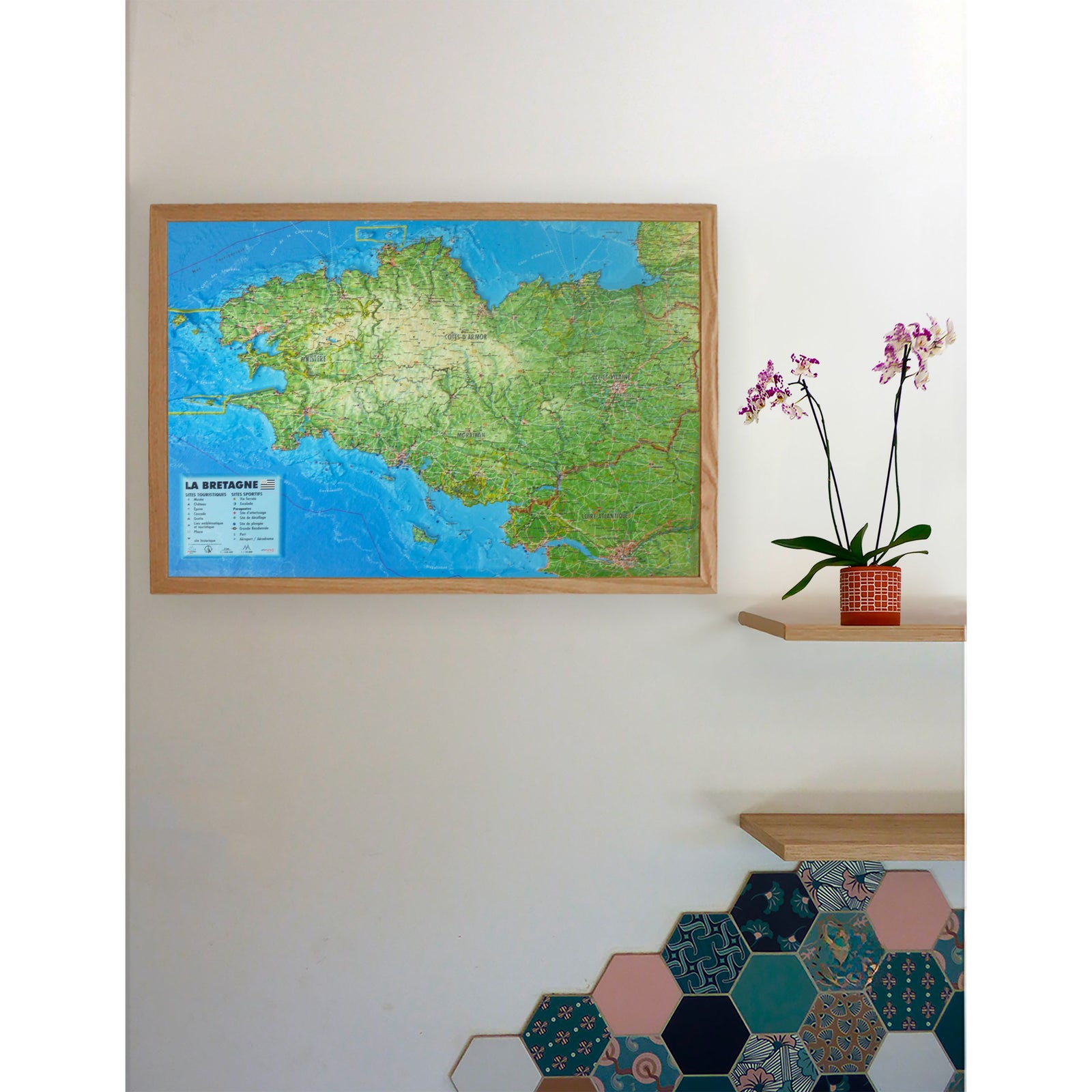
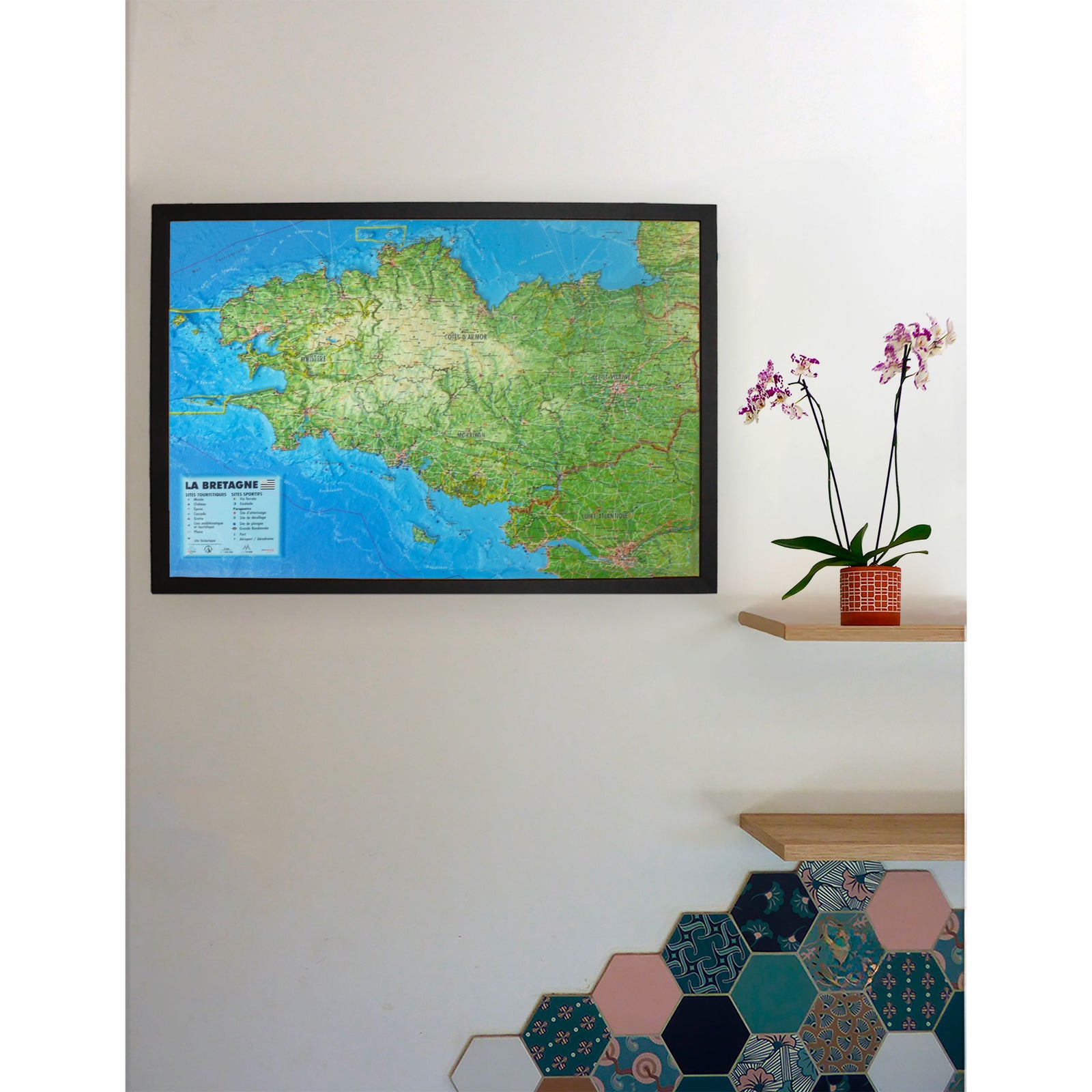
3D Relief Wall Map - The Alps Françaises et ses massifs alpins - 41 cm x 61 cm | 3D Map

Price
Regular price 3990 €
Regular price Sale price 3990 €
/
  • Shipped within 24 to 48h from our warehouse in France
  • Real-time inventory
  • Cartovia Guarantee – Delivery issue?
    We resend immediately upon receiving a simple photo.
  • In stock, ready to ship
  • Backordered, shipping soon
Tax included.

Often purchased together:

Discover this 3D relief wall map of the French Alps, a precise and striking representation of the Alpine massifs. The raised-relief map highlights the major peaks, legendary valleys and remarkable natural sites that shape one of Europe’s most famous mountain regions.

An optional finishing frame is available. We highly recommend it for easier wall mounting and to enhance the appearance of the map.

Information shown on the map:

  • Alpine massifs
  • UNESCO World Heritage sites
  • Les Plus Beaux Villages de France
  • Network of major Vauban sites
  • Monuments and castles
  • Ski resorts
  • Waterfalls and gorges
  • Caves
  • GR long-distance hiking trails and via ferratas
  • Paragliding sites (www.ffvl.ft)
  • Take-off and landing areas

Scale:

  • Vertical scale: 1:650,000
  • Horizontal scale: 1:250,000

This map is an excellent way to view the French Alps as a whole, plan routes or decorate an interior with an informative and attractive piece.


ISBN/EAN : 9782955772904
Publication date: 2026
Scale: 1/650,000 (1cm=6.5km)
Unfolded dimensions: 41cm x 61cm
Language(s): French
Weight: 136 g