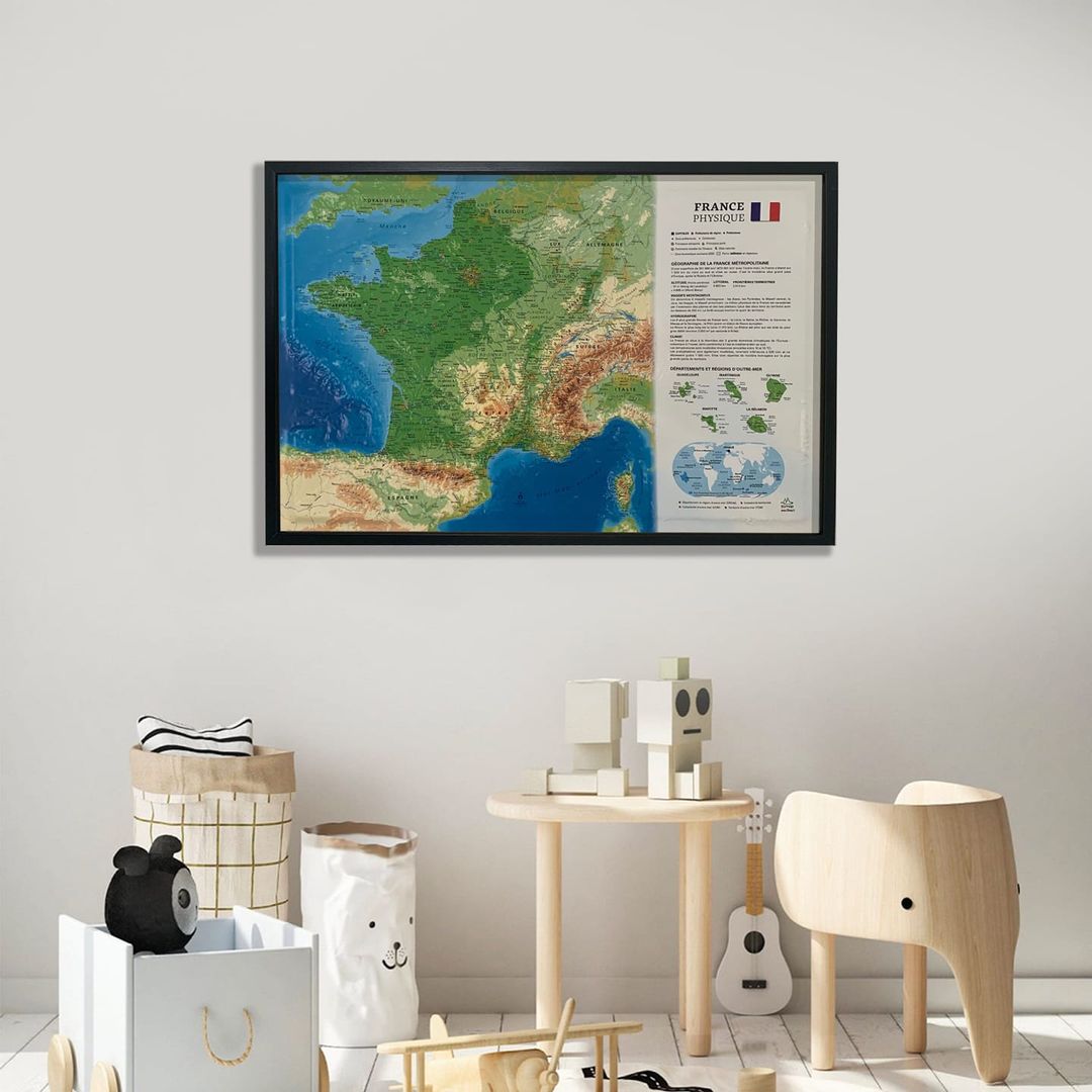
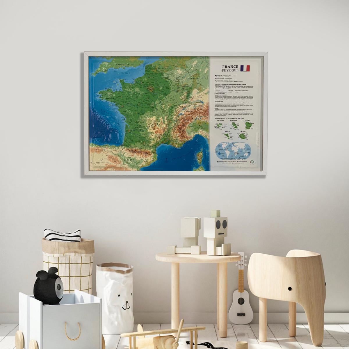
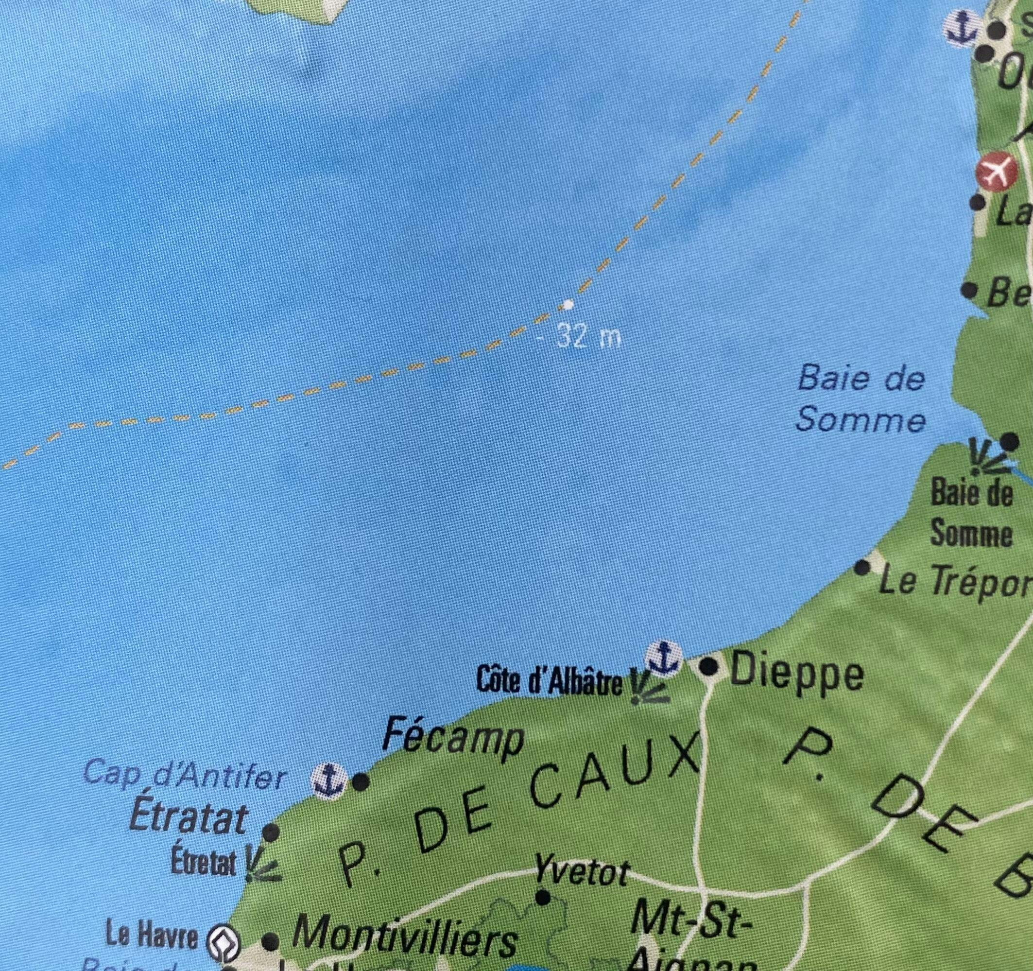
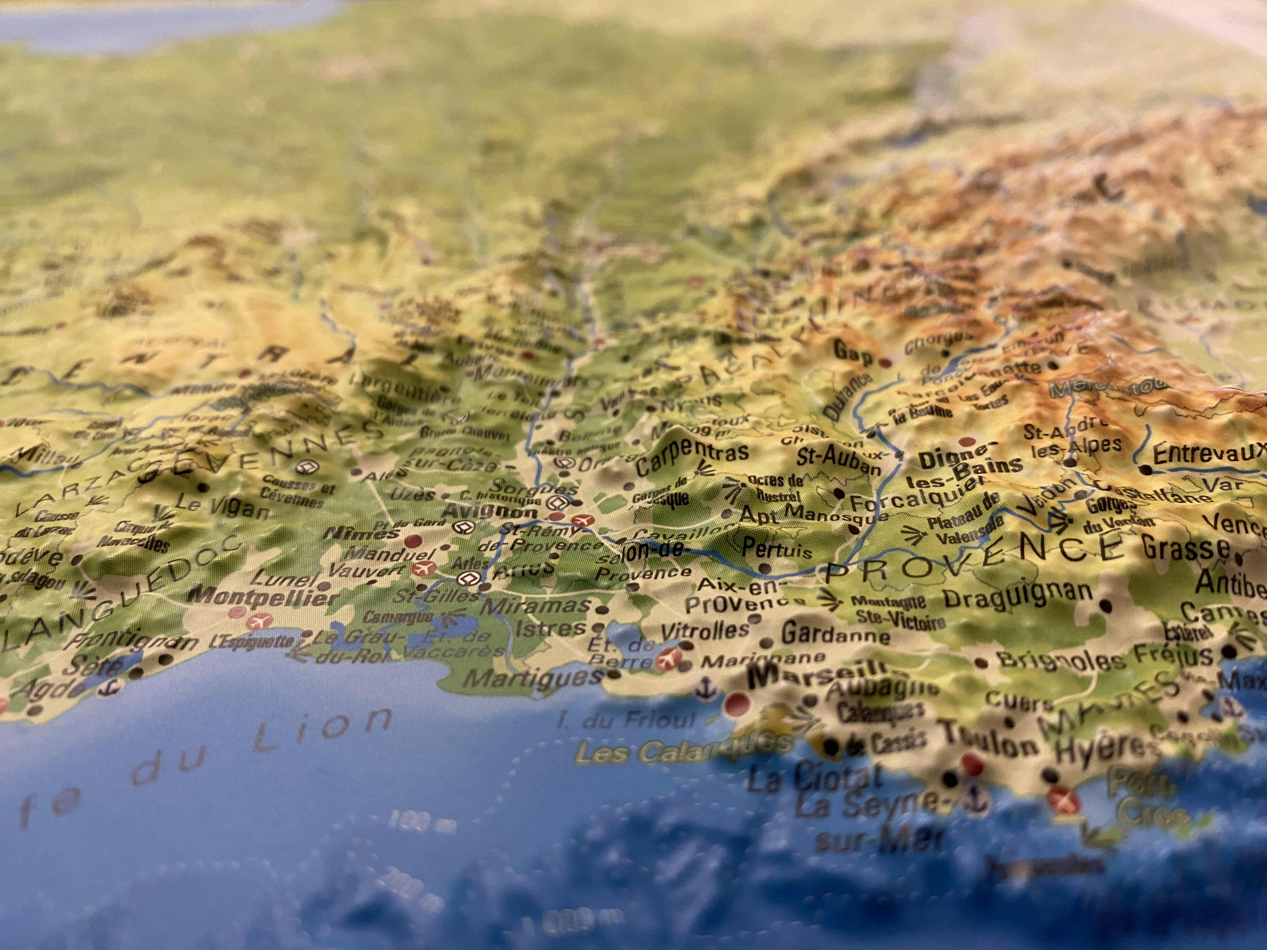
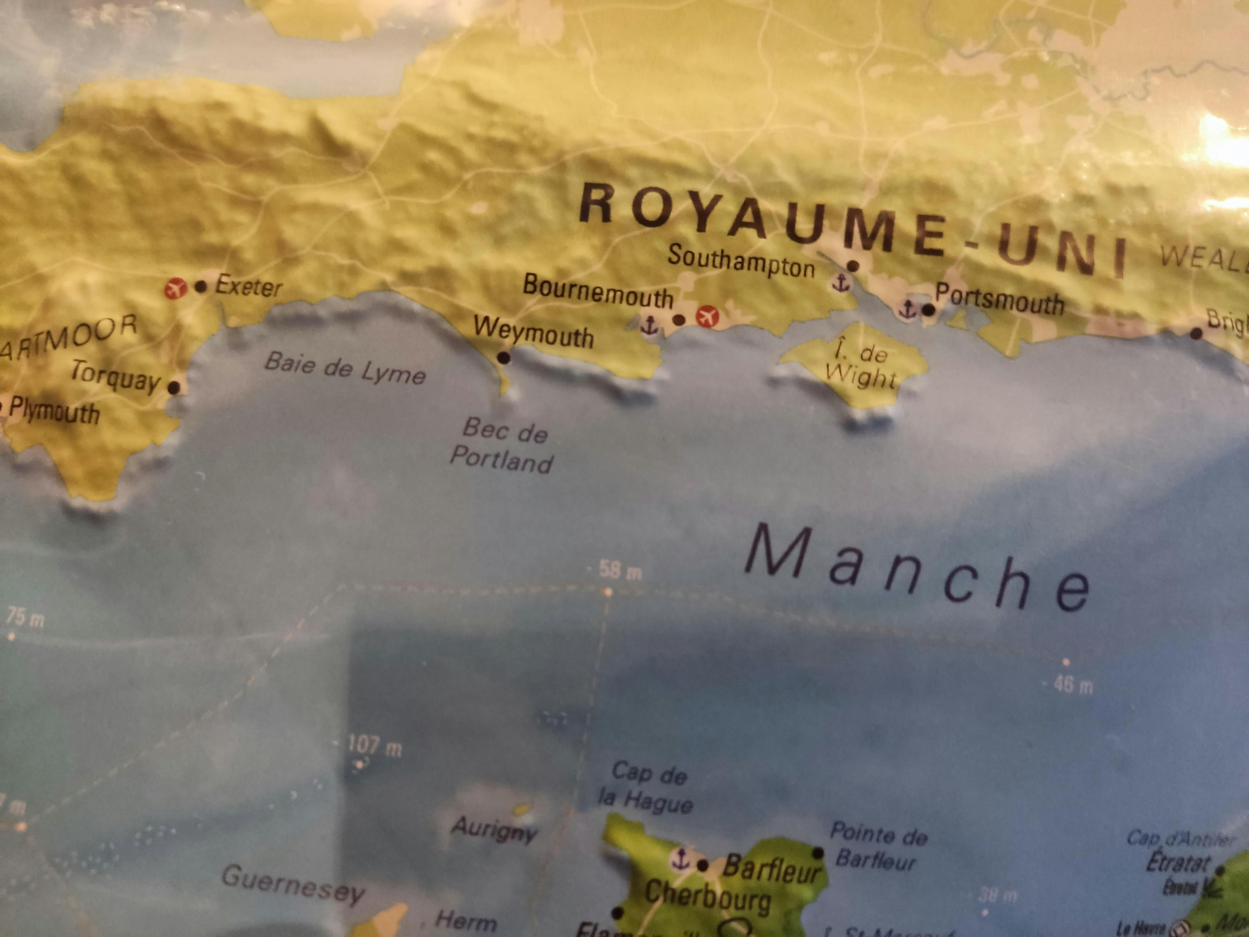
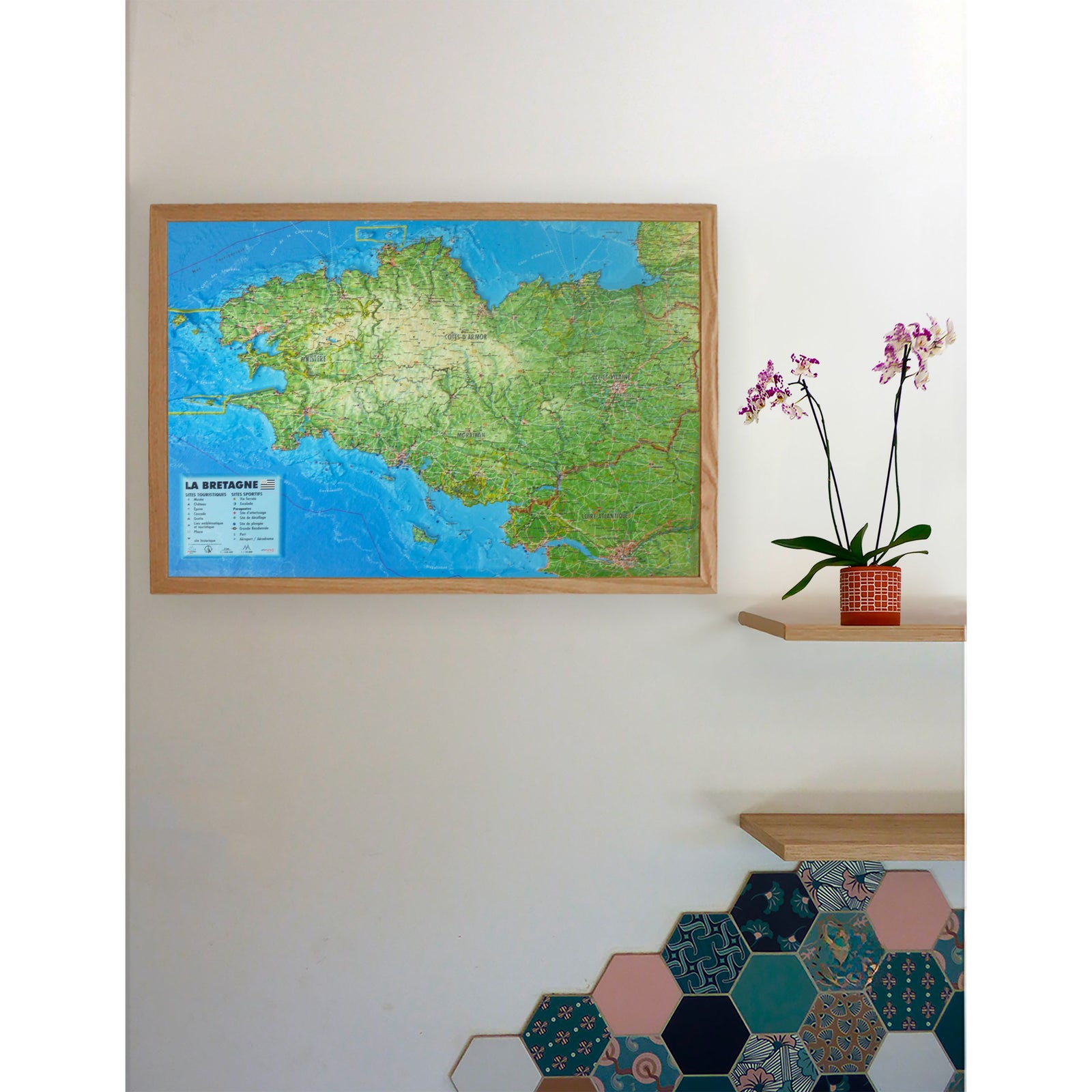
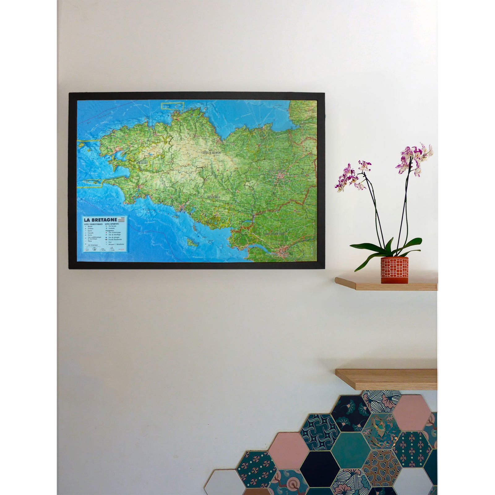
3D Raised relief map - France physical and seafloor (41 cm x 61 cm) | 3D Map (French)
Regular price
3990 €
Regular price
Sale price
3990 €
/
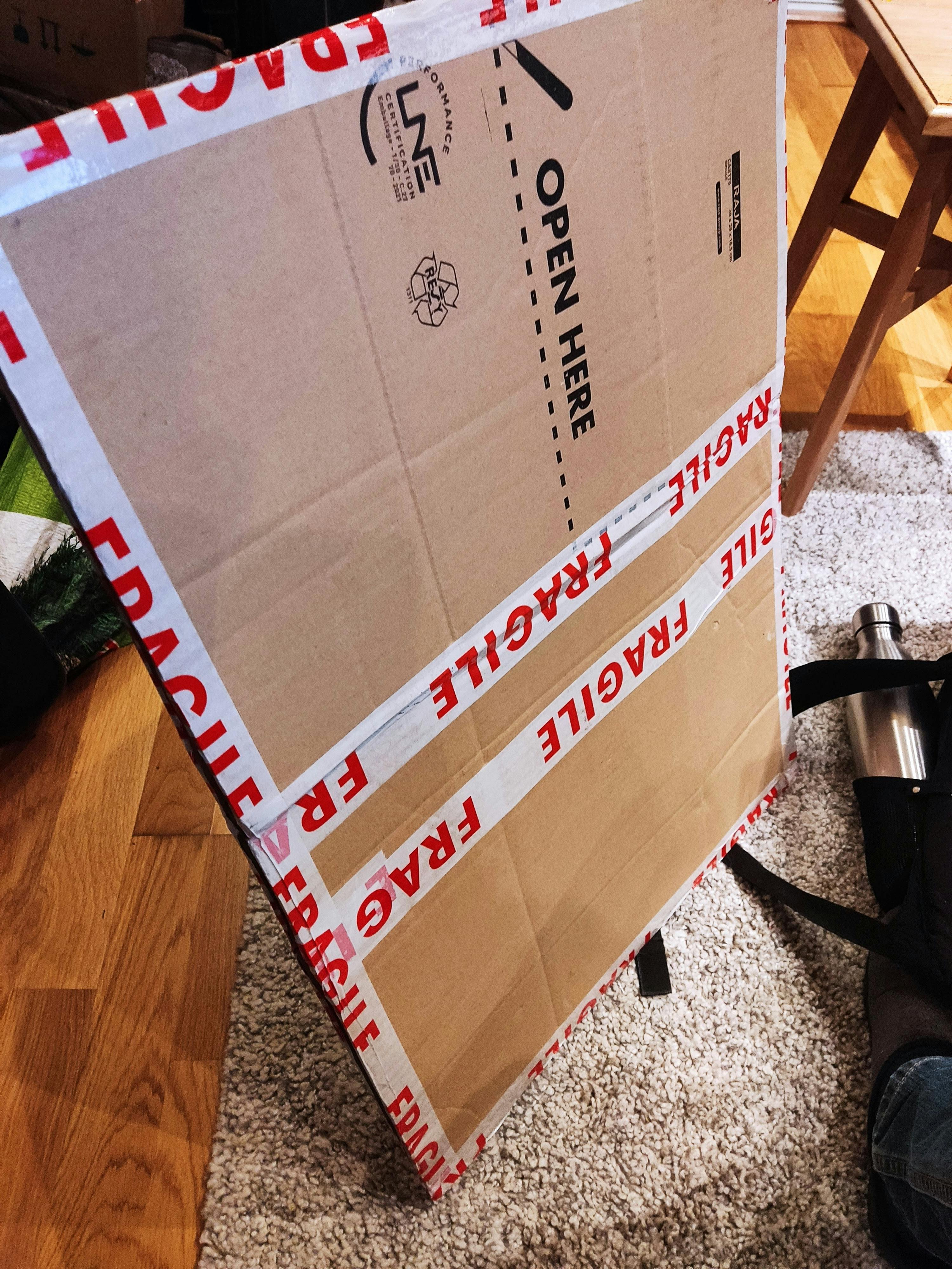
- Shipped within 24 to 48h from our warehouse in France
- Real-time inventory
-
Cartovia Guarantee – Delivery issue?
We resend immediately upon receiving a simple photo.
- Low stock - 1 item left