3D Relief Wall Map - Alpes-Maritimes & Seabed - 41 cm x 61 cm | 3D Map

Price
Regular price 3990 €
Regular price Sale price 3990 €
/
  • Shipped within 24 to 48h from our warehouse in France
  • Real-time inventory
  • Cartovia Guarantee – Delivery issue?
    We resend immediately upon receiving a simple photo.
  • Low stock - 2 items left
  • Backordered, shipping soon
Tax included.

Often purchased together:

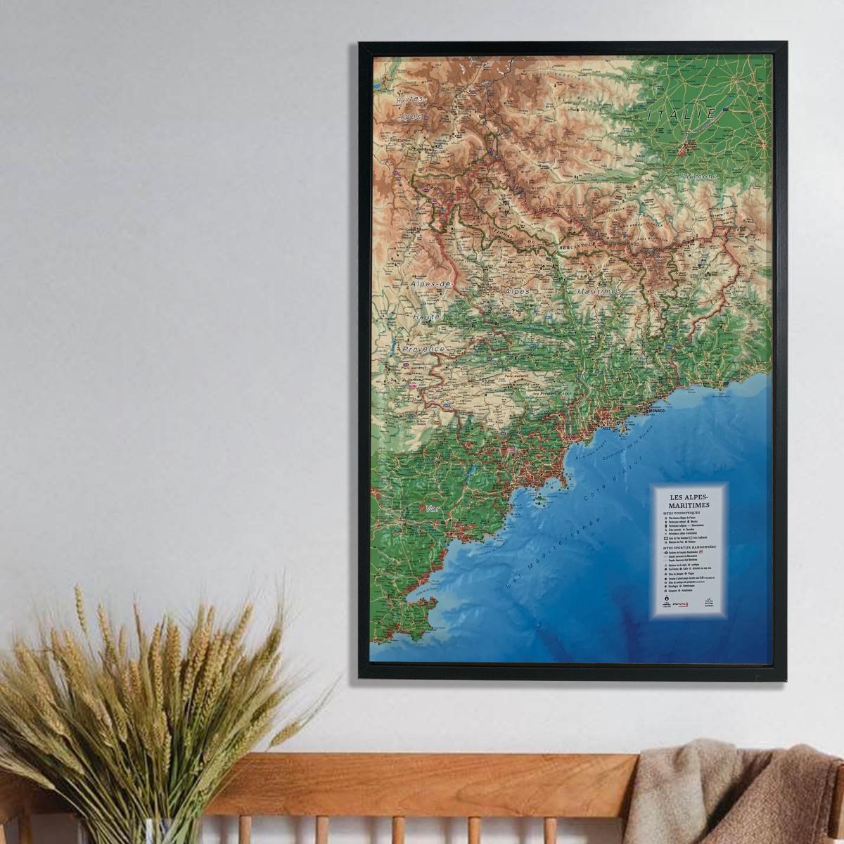
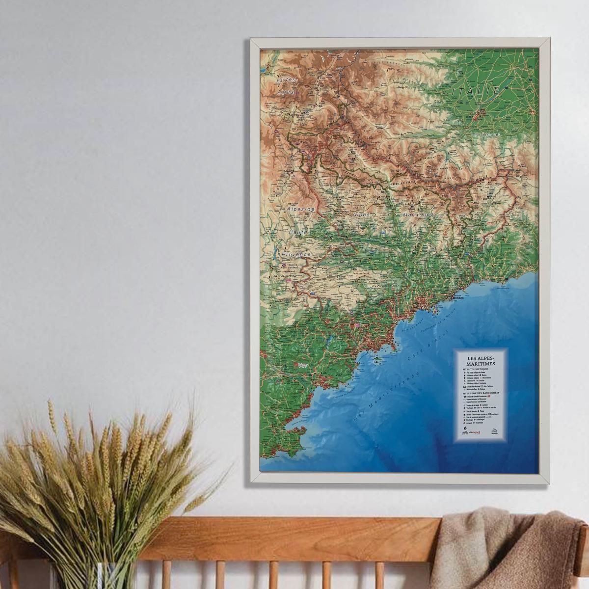
Discover this 3D relief wall map of Alpes-Maritimes, a detailed and immersive representation of a department where steep mountains, preserved valleys and the Mediterranean coastline meet. The map highlights the spectacular landscapes of the Mercantour, hilltop villages, protected areas and major natural sites that make the Alpes-Maritimes so distinctive.

An optional finishing frame is available. We highly recommend it for easier wall mounting and to showcase the map.

Tourist sites shown:

  • Les Plus Beaux Villages de France
  • Cultural heritage
  • Museums
  • Religious heritage
  • Observatories
  • Natural sites and waterfalls
  • Viewpoints and orientation tables
  • Core area of Mercantour National Park
  • Park membership area
  • Park visitor centres
  • Mountain refuges

Sports sites, outdoor activities and hiking:

  • GR long-distance hiking trails
  • Grande Traversée du Mercantour
  • Grande Traversée Alpi Marittime
  • Alpine and Nordic ski resorts
  • Via ferrata
  • Golf courses
  • White-water activities
  • Diving sites
  • Beaches
  • ULM airfields with open landing areas (www.ffplum.fr)
  • Paragliding sites (www.fol.fr)
  • Take-off areas
  • Landing areas
  • Airports and airfields

Scale:

  • Horizontal scale: 1:280,000

An ideal map for hikers, lovers of the Mercantour, outdoor enthusiasts and travellers, and perfect for decorating an interior with an accurate and spectacular representation of the Alpes-Maritimes.


ISBN/EAN : 9791097206086
Publication date: 2018
Scale: 1/280,000 (1 cm = 2.8 km)
Unfolded dimensions: 41cm x 61cm
Language(s): French
Weight: 136 g