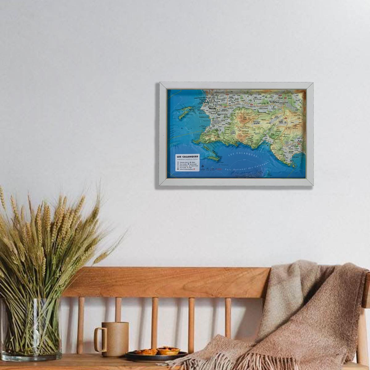
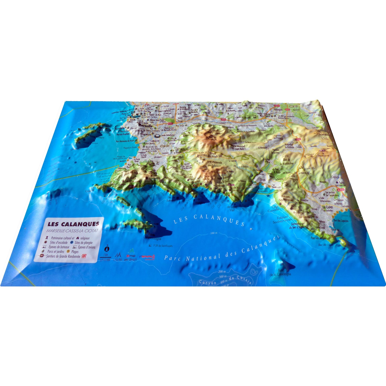
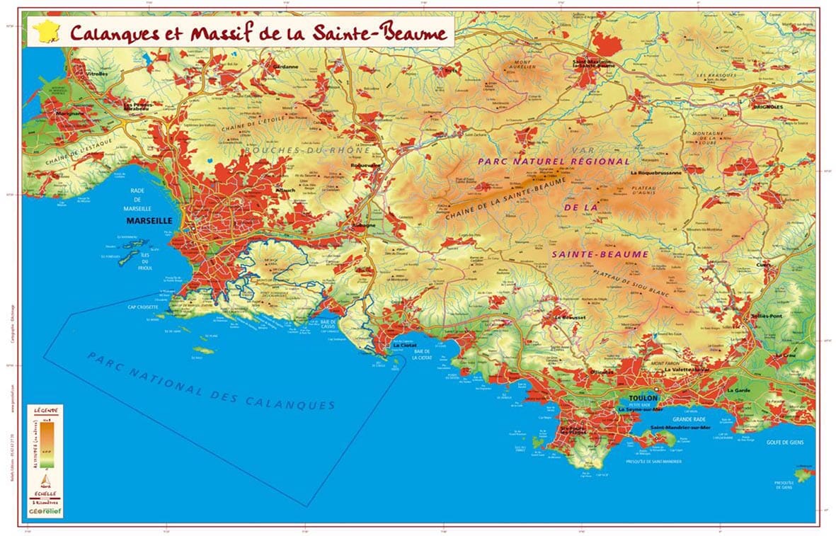
Discover the breathtaking Provençal coastline with this raised relief wall map of the Calanques of Marseille, Cassis and La Ciotat. Its detailed relief modeling highlights cliffs, coves and hiking trails found within the famous Calanques National Park.
A finishing frame is available as an optional accessory; we strongly recommend it for easier hanging and an enhanced presentation.
Information shown on the map:
-
Hydrological, natural, hypsometric and administrative data
-
Summits, cultural and religious heritage, parks and gardens
-
Marseille–Cassis Half Marathon route
-
Climbing sites
-
Beaches
-
Long-distance hiking trails, GRP routes
-
Viewpoints and orientation tables
-
Aircraft wrecks
-
Shipwrecks
-
Scuba-diving sites
-
Hiking trails
Planimetric scale: 1:115,000
Altimetric scale: 1:50,000
Size: 29.5 × 19.5 cm