Laminated Map - British and US Virgin Islands | Borch Maps

Price
Regular price 1150 €
Regular price Sale price 1150 €
/
  • Shipped within 24 to 48h from our warehouse in France
  • Free returns (*)
  • Real-time stock levels
  • Cartovia Guarantee – Delivery issue?
    We resend immediately upon receiving a simple photo.
  • In stock, ready to ship
  • Backordered, shipping soon
Tax included.

Frequently bought together:

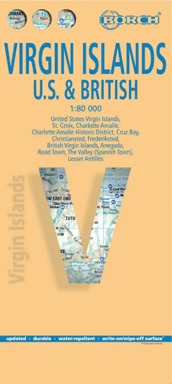
This detailed map of the British and US Virgin Islands, published by Borch Maps, is at a scale of 1:80,000 (1 cm = 800 m).

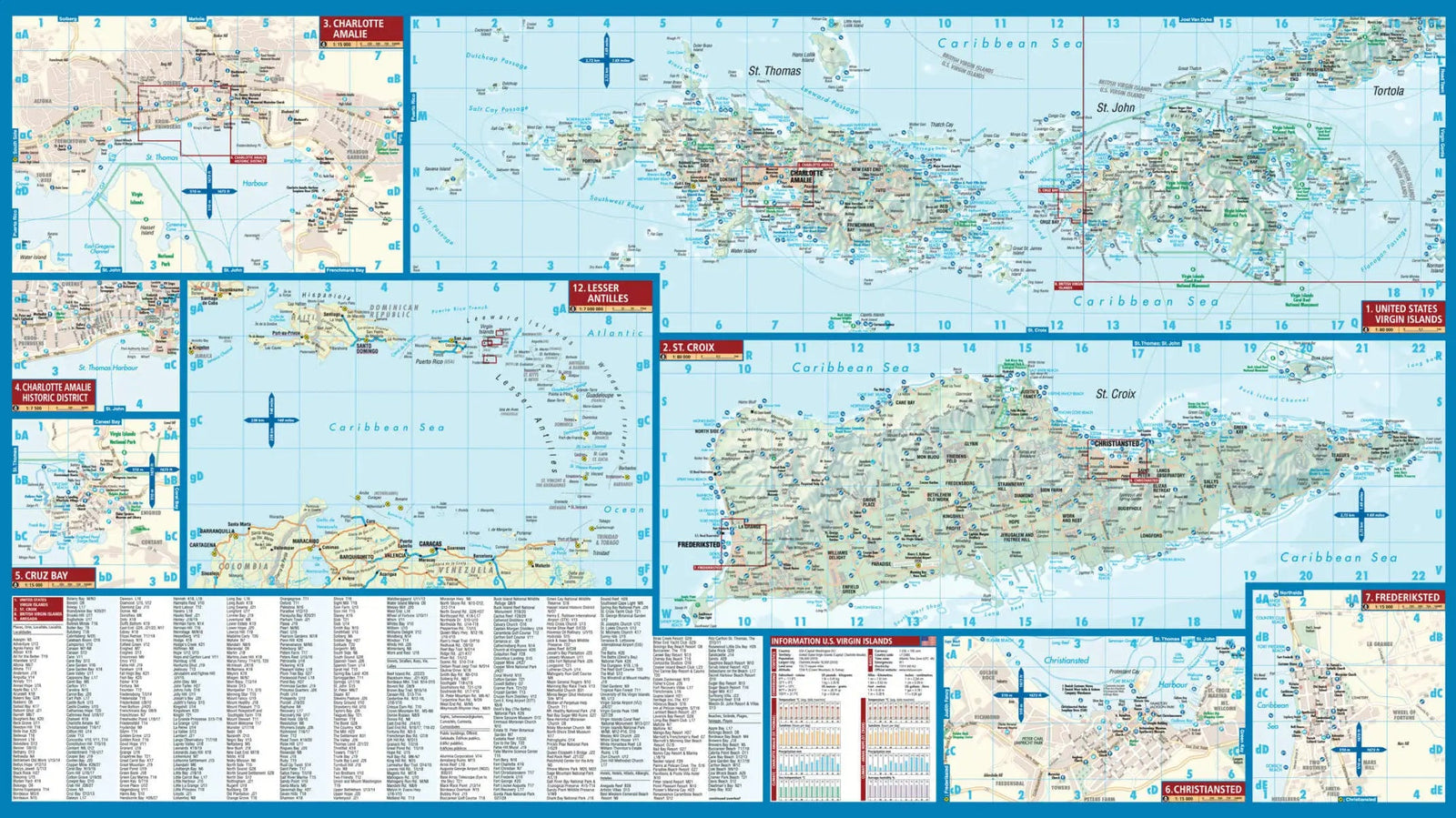
The front shows the US Virgin Islands: St. Croix, St. Thomas and St. John, with the surrounding smaller islands. Insets show Charlotte Amalie, Cruz Bay, Christiansted and Frederiksted.

The reverse covers the British Virgin Islands: Jost Van Dyke, Tortola, Virgin Gorda and Anegada, including the southern islands of the Sir Francis Drake Channel, plus maps of The Valley and Road Town.

  • City and street indexes
  • Accommodation and points of interest, including beaches and windsurfing, diving and snorkelling sites
  • National parks and other protected areas highlighted

The map is laminated, highly moisture-resistant and virtually tear-proof. It can be marked with an erasable pen.


ISBN/EAN : 9783866095175
Publication date: 2014
Scale: 1/80,000 (1cm=800m)
Printed sides: both sides
Folded dimensions: 24.3 x 11 x 0.7cm
Unfolded dimensions: 66 x 50cm
Language(s): multilingual (including French)
Weight: 72 g