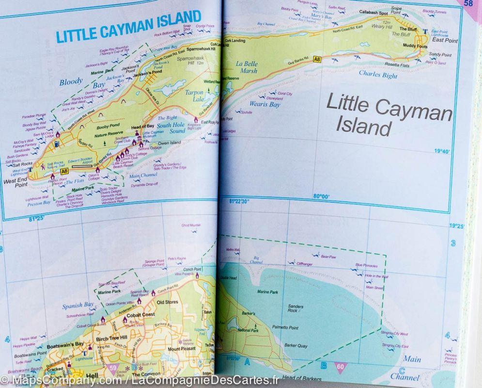
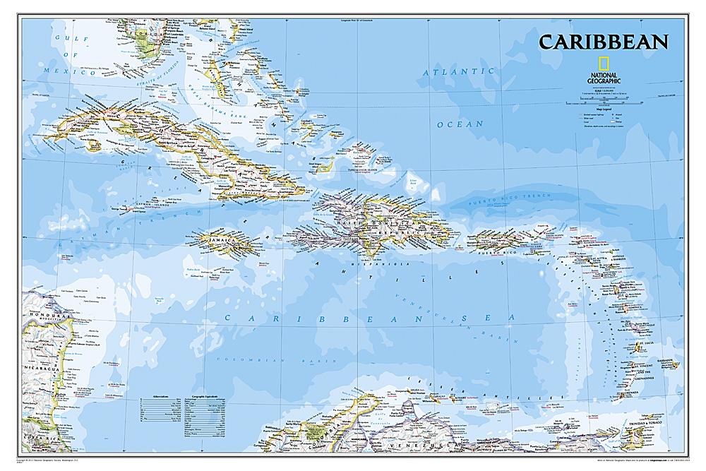
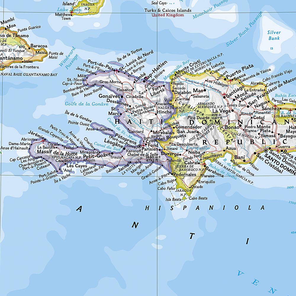
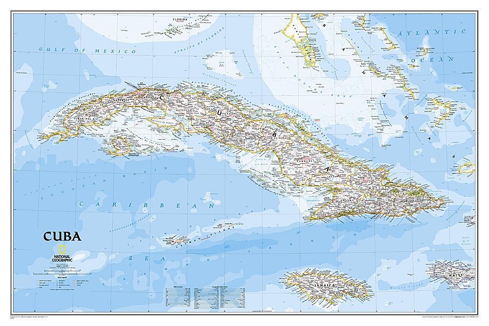
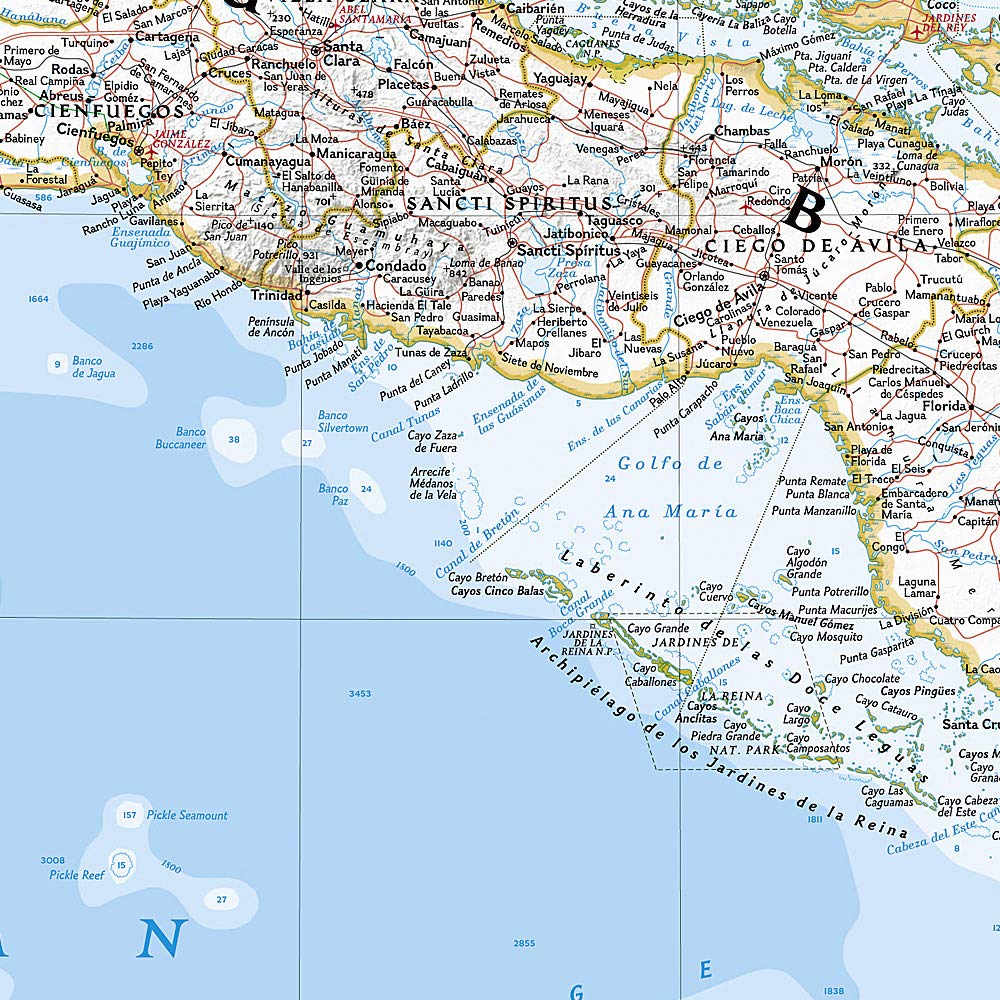
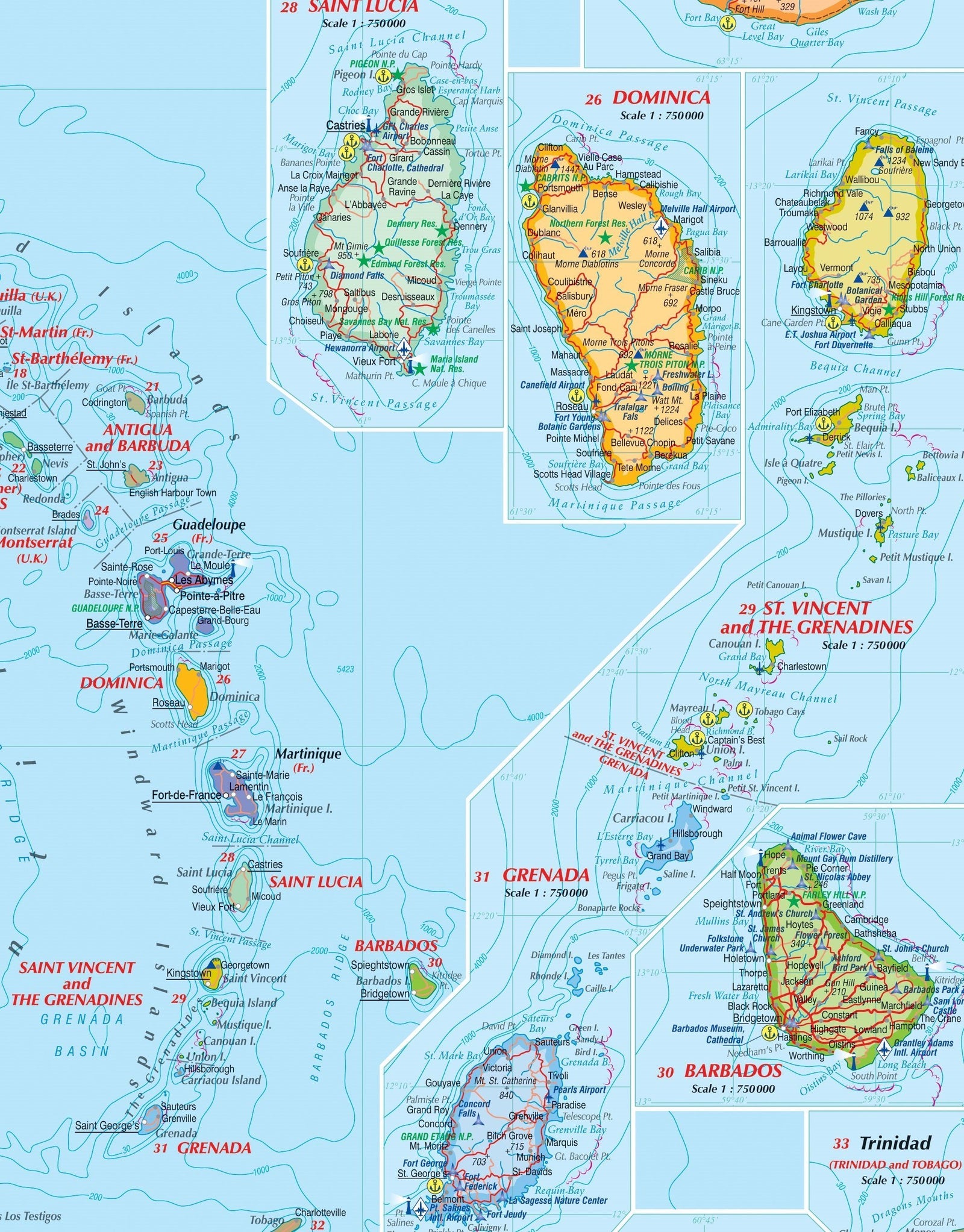
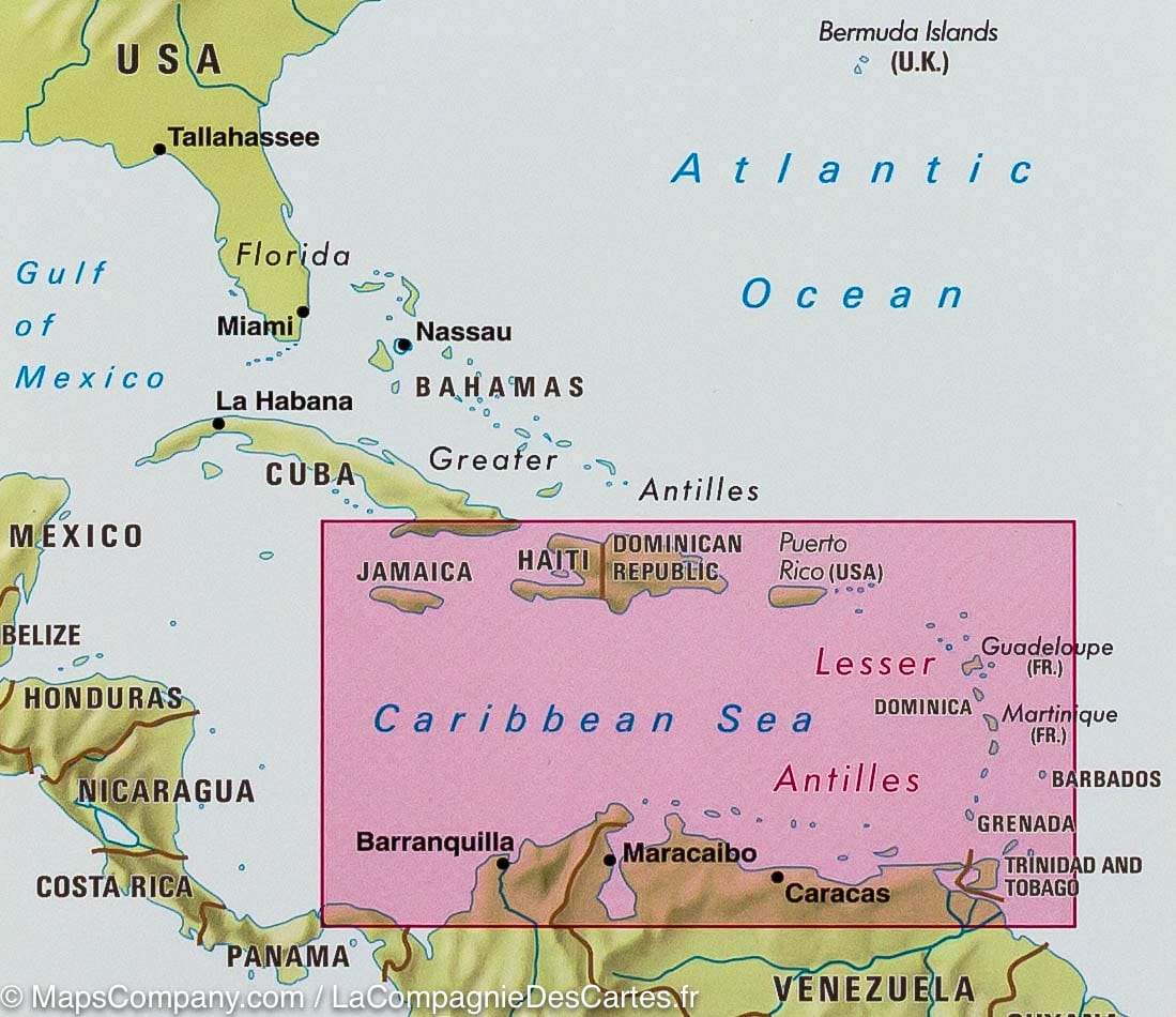
Pocket atlas of the Western Caribbean Islands published by ITM. This atlas covers the Bahamas and the Turks and Caicos Islands in the north, along with Cuba, the Cayman Islands, Jamaica, the Dominican Republic and Puerto Rico at scales ranging from 1:18,000 for Puerto Rico to 1:600,000 for Cuba. Roads, points of interest and national parks indicated. Terrain mapping and city index included. Inset maps of Freeport, Nassau, Havana, Varadero, Georgetown, Kingston, Port - au - Prince, Santo Domingo, and San Juan are included.
ISBN/EAN : 9781553419891
Publication date: 2013
Scale: Various scales
Folded dimensions: 21.5 x 14.3 x 0.8cm
Language(s): English
Weight:
173 g


