Topographic map - Aruba | Kasprowski

Price
Regular price 1695 €
Regular price Sale price 1695 €
/
  • In stock in France and in the USA
    Shipped within 24 to 48h from the warehouse closest to you
  • Free returns (*)
  • Real-time stock levels
  • Cartovia Guarantee – Delivery issue?
    We resend immediately upon receiving a simple photo.
  • In stock, ready to ship
  • Backordered, shipping soon
Tax included.

Frequently bought together:

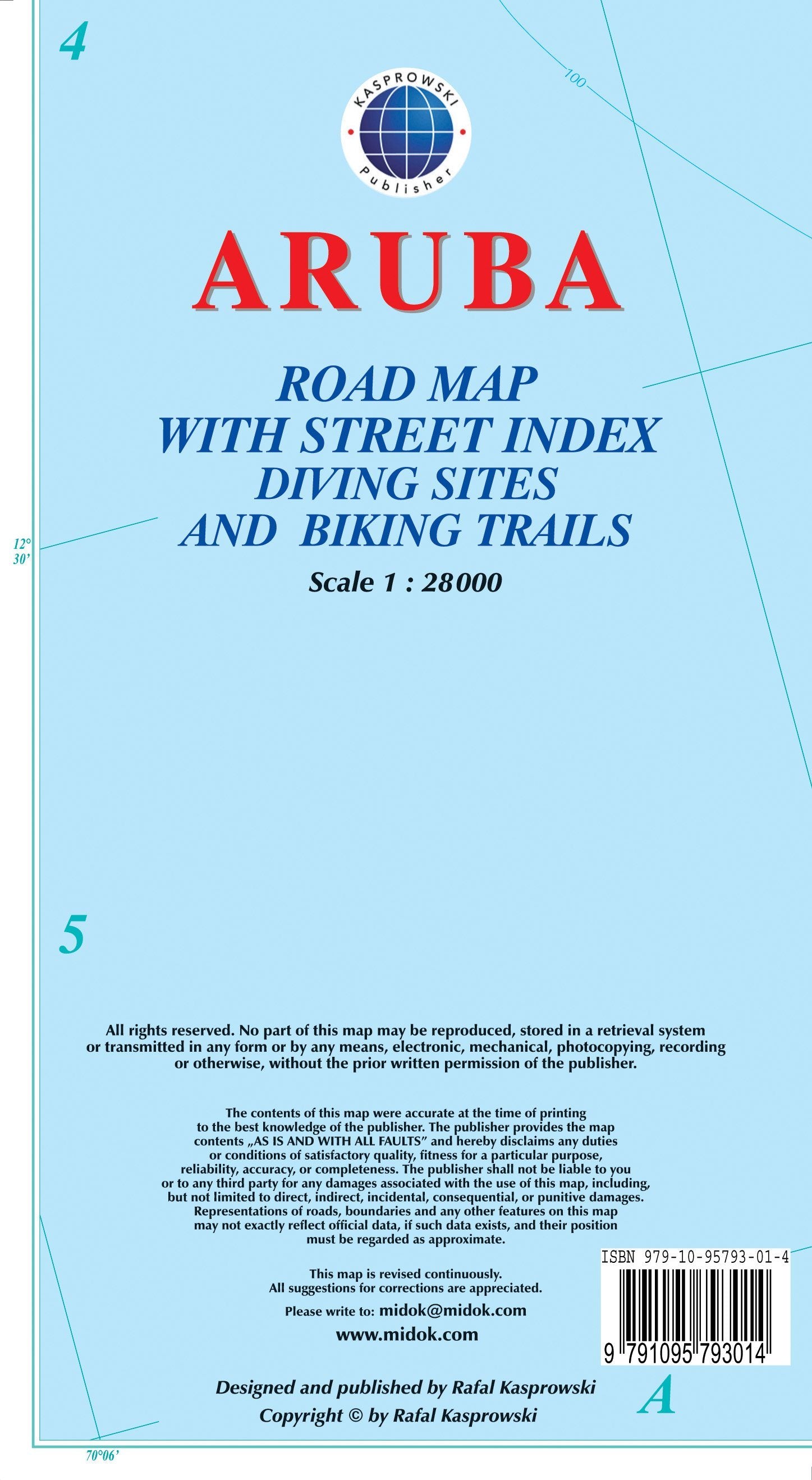
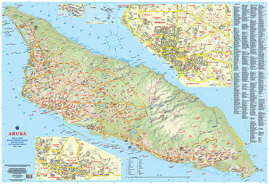
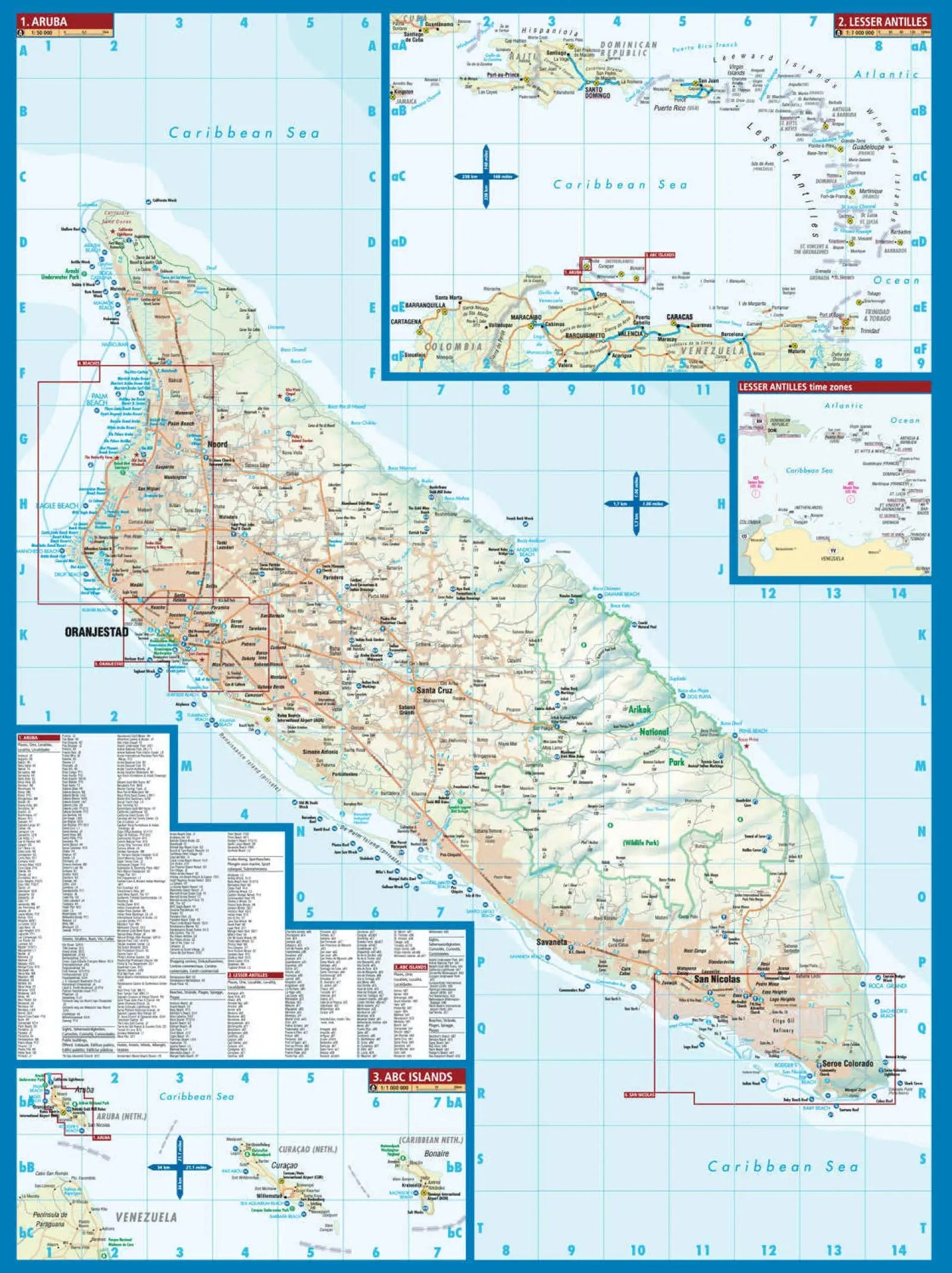
This topographic map covers the area of Aruba.

Topography is shown by elevation colouring and spot heights; Arikok National Park is clearly marked. The road network distinguishes main roads, secondary roads and local tracks or paths. Recommended cycle routes and walking trails are highlighted. Symbols identify facilities and places of interest, including beaches, sugar mills, petrol stations and more. Numerous dive sites are marked along the coast. Latitude and longitude lines are shown at 2-minute intervals. The map legend is in English.

Indexed street maps of Oranjestad, including access to the island's international airport, and San Nicolas are also provided. An index covers both the main map and the street maps.

The map includes the following

features

  • A complete road network, detailed down to street level
  • A comprehensive index of streets and roads
  • Additional maps of the main towns
  • An attractive full-colour design
  • Highly detailed topography
  • Legend and scale
  • Depth contours, soundings in metres, latitude and longitude lines, and other identifiers


ISBN/EAN : 9791095793014
Publication date: 2016
Scale: 1/28000 (1cm=280m)
Folded dimensions: 22.5 x 12.5cm
Language(s): English
Weight: 89 g