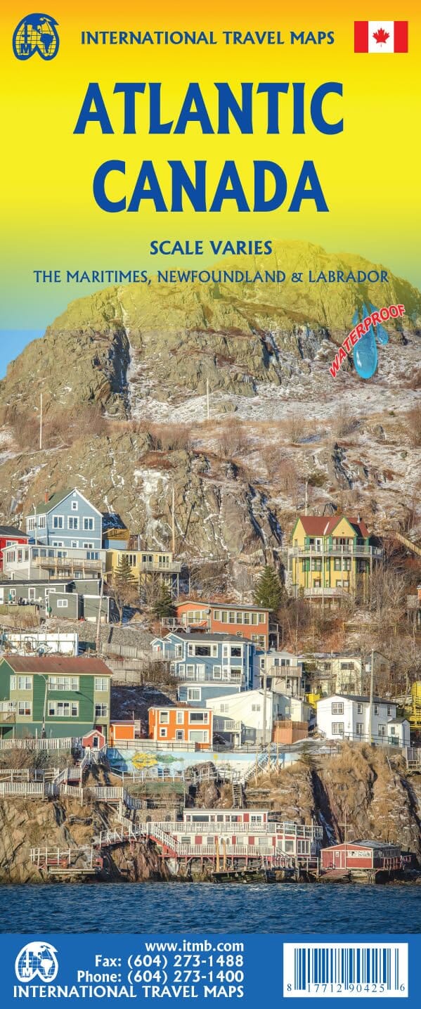
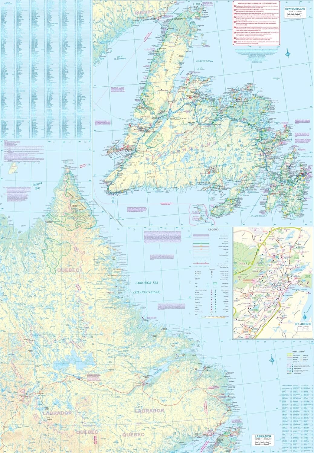
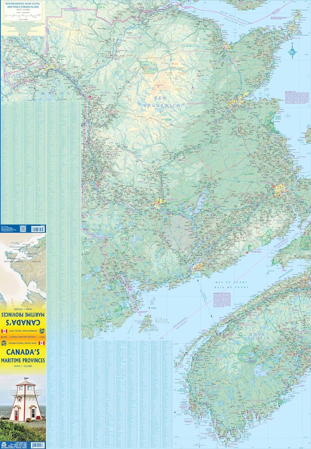
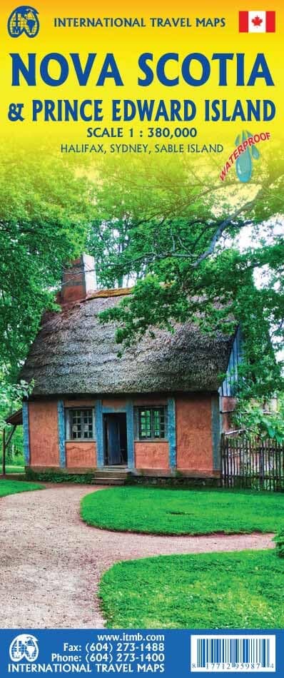
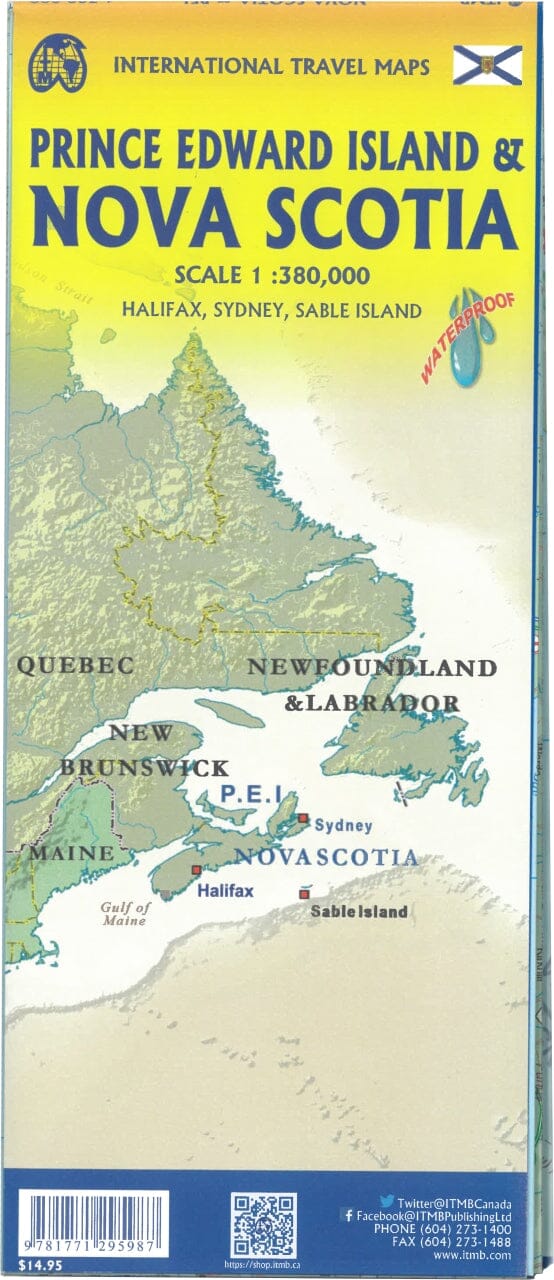
Waterproof Travel Map - Atlantic Canada | ITM

Price
Regular price 1350 €
Regular price Sale price 1350 €
/
  • Ships within 24 business hours from our warehouse in France
  • Free returns (*)
  • Real-time stock levels
  • Cartovia Guarantee – Delivery issue?
    We resend immediately upon receiving a simple photo.
  • Low stock - 2 items left
  • Backordered, shipping soon
Tax included.

Frequently bought together:

This map covers the Maritime provinces of Canada and Newfoundland and Labrador.

Variable scale – Waterproof paper

Side 1:

It covers the provinces of Nova Scotia , New Brunswick , Prince Edward Island , and the Magdalen Islands (Quebec), at a scale of 1:800,000 . This side also features the Top 10 tourist attractions of these three provinces.

Side 2:

Entirely dedicated to the Canadian province of Newfoundland and Labrador :

  • The island of Newfoundland is shown in an inset at a scale of 1:150,000 (half a page)

  • The mainland portion of Labrador is mapped at a scale of 1:1,700,000

  • The map also shows the far north of Quebec/Labrador, which belongs to Nunavut.

Also included:

  • Saint-Pierre-et-Miquelon , a French overseas collectivity located just south of Newfoundland

  • City map : The map includes an urban inset of the historic city of St. John's , one of the oldest cities in North America.

  • Top 9 attractions in Newfoundland and Labrador

An ideal tool:

This map brings together four fascinating regions of Canada on a single sheet, perfect for travellers wishing to take a grand circular tour of the Atlantic provinces.

Printed on durable, waterproof and biodegradable stone paper .


ISBN/EAN : 9781771290425
Publication date: 2025
Scale: Various scales
Printed sides: both sides
Folded dimensions: 24.6 x 10.3 x 0.5cm
Unfolded dimensions: 100 x 69cm
Language(s): English
Weight: 106 g