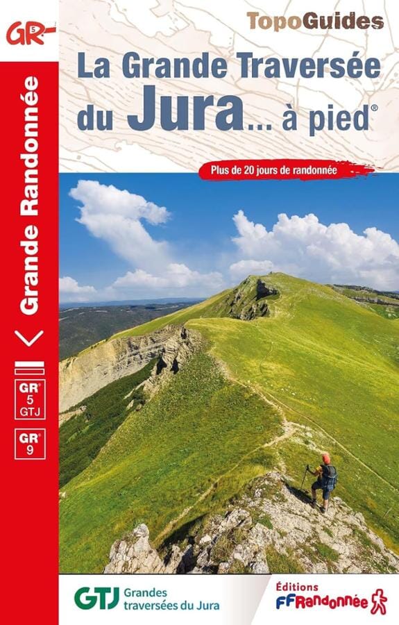
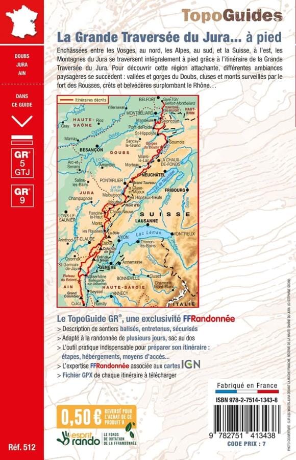
The IGN TOP 25 hiking map No. 3426 OT covers the following area: Mouthe, Métabief, Le Mont d'Or.
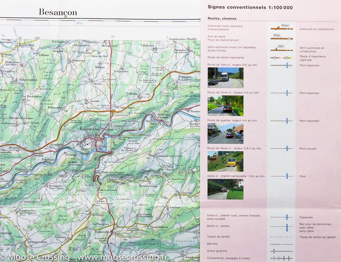
- Contour lines at 10-metre intervals.
- Detailed legend: vegetation, rocks, transport routes down to the smallest paths, buildings down to individual sheds, woodland, isolated trees, rivers, springs and more.
- Waymarked trails and tourist information are shown.
- Scale: 1:25,000 (1 cm = 250 m).
Municipalities covered: Reculfoz, Labergement-Sainte-Marie, Cerniébaud, La Latette, Arsure-Arsurette, Chapelle-des-Bois, Rochejean, Brey-et-Maison-du-Bois, Fraroz, Jougne, Petite-Chaux, Mouthe, Longevilles-Mont-d'Or, Malbuisson, Châtelblanc, Vaux-et-Chantegrue.
Places to discover: Haut-Jura, LacBrenet, Source de l'Orbe, Lake Joux, la Piagrette, le Suchet, Dent de Vaulion, Petit Risoux, le Gros Crêt, le Morond, Mont Tendre, Mont Risoux, le Mont d'Or, Grand Risoux, Joux Valley.