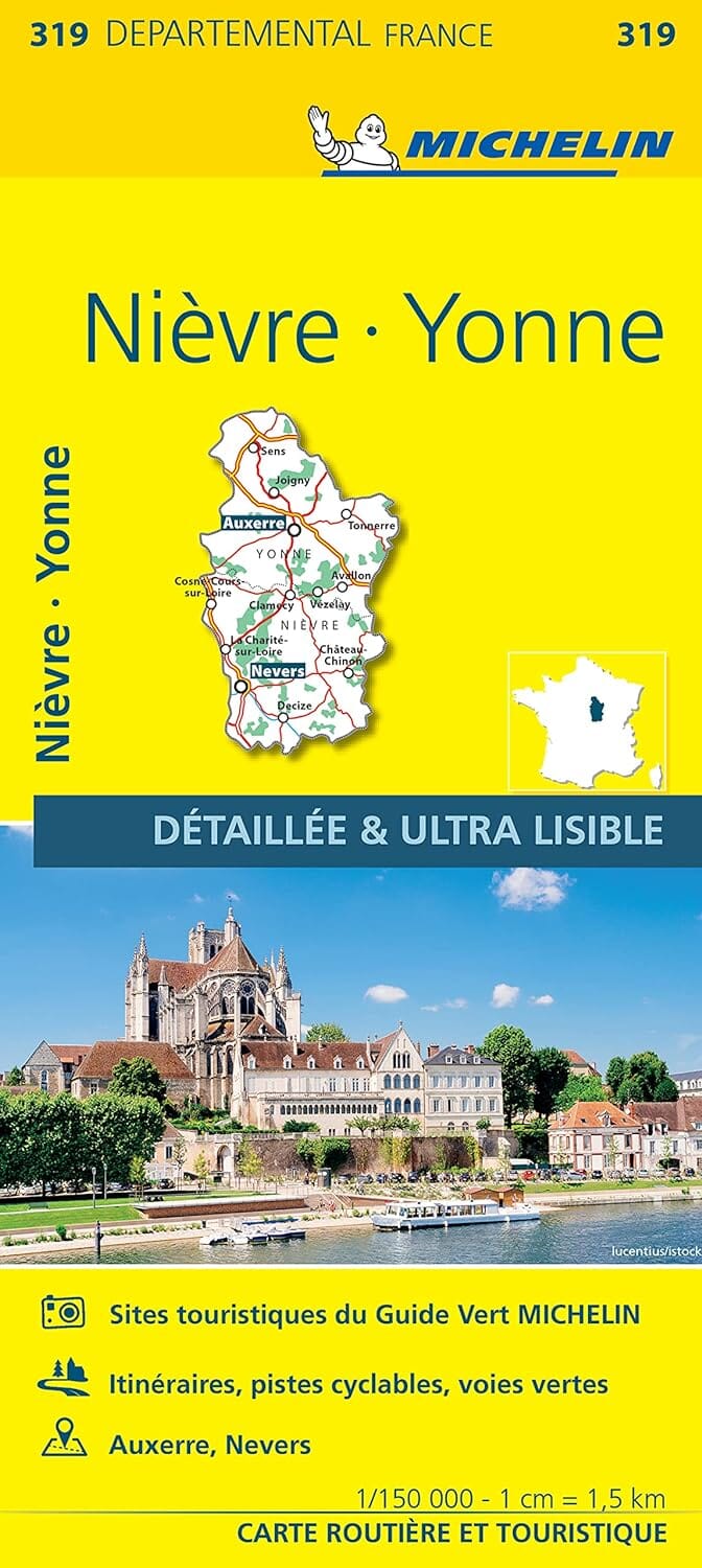
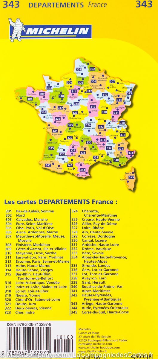
The essential hiking map! These highly accurate topographic maps contain all the details existing on the ground: communication routes down to the smallest path, buildings down to the shed, woods, isolated trees, rivers, springs... Not forgetting the representation of the relief by contour lines.
Municipalities covered : Cosne-Cours-sur-Loire, Donzy, Entrains-sur-Nohain, Pougny, Menou, Cessy-les-Bois, Couloutre, Colméry, Suilly-la-Tour, Bannay, Saint-Laurent-l'Abbaye, Tracy-sur-Loire, Neuvy-sur-Loire, Annay, Myennes, Saint-Père, Léré, Boulleret, La Celle-sur-Loire, Bouhy, Saint-Vérain
Places to discover : Bois de Charnes, Île de Cosne, Château de la Motte Josserand, Château des Granges, Prieuré Notre-Dame du Pré, Chapelle de la Commanderie, Chapelle de Tête Ronde