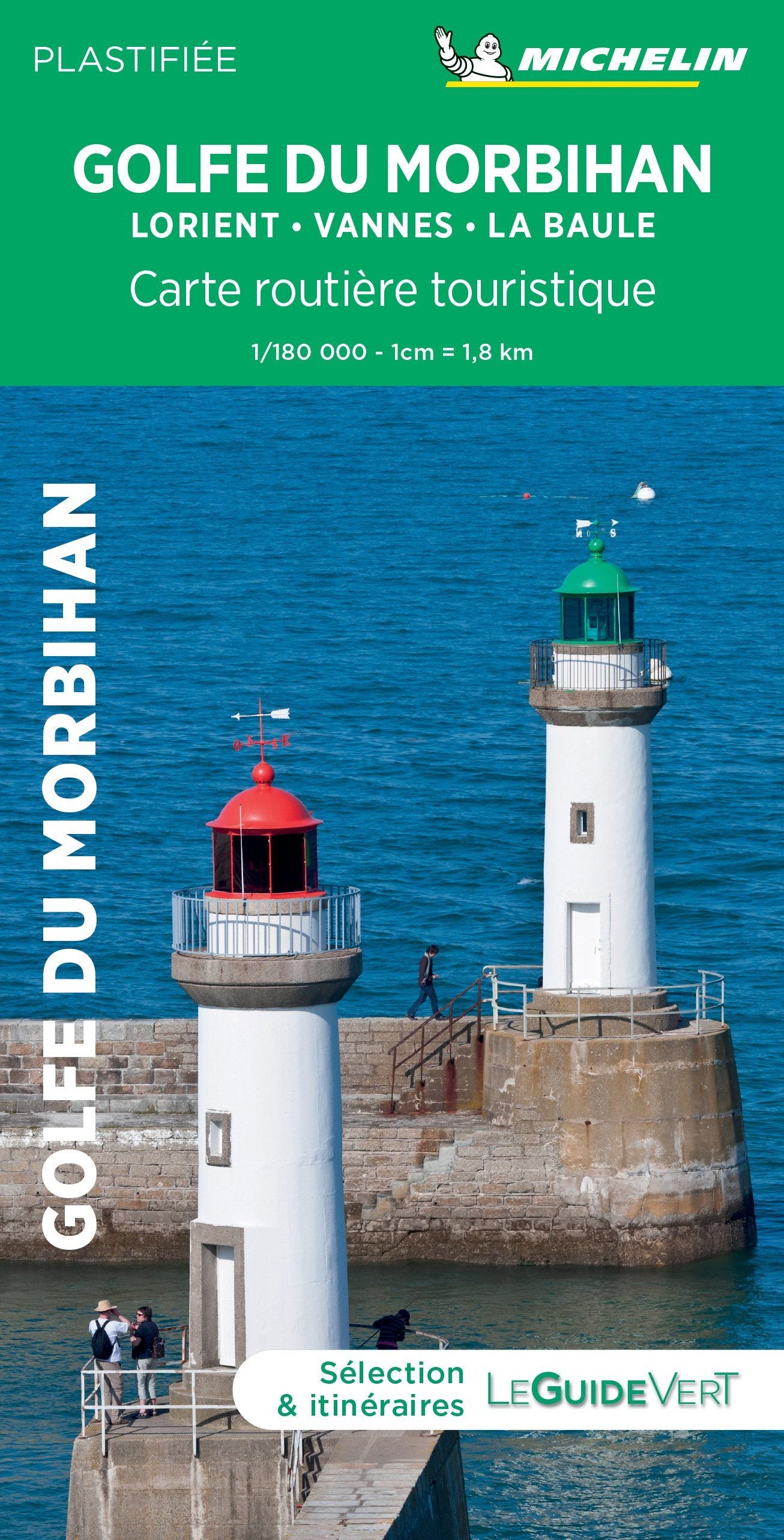
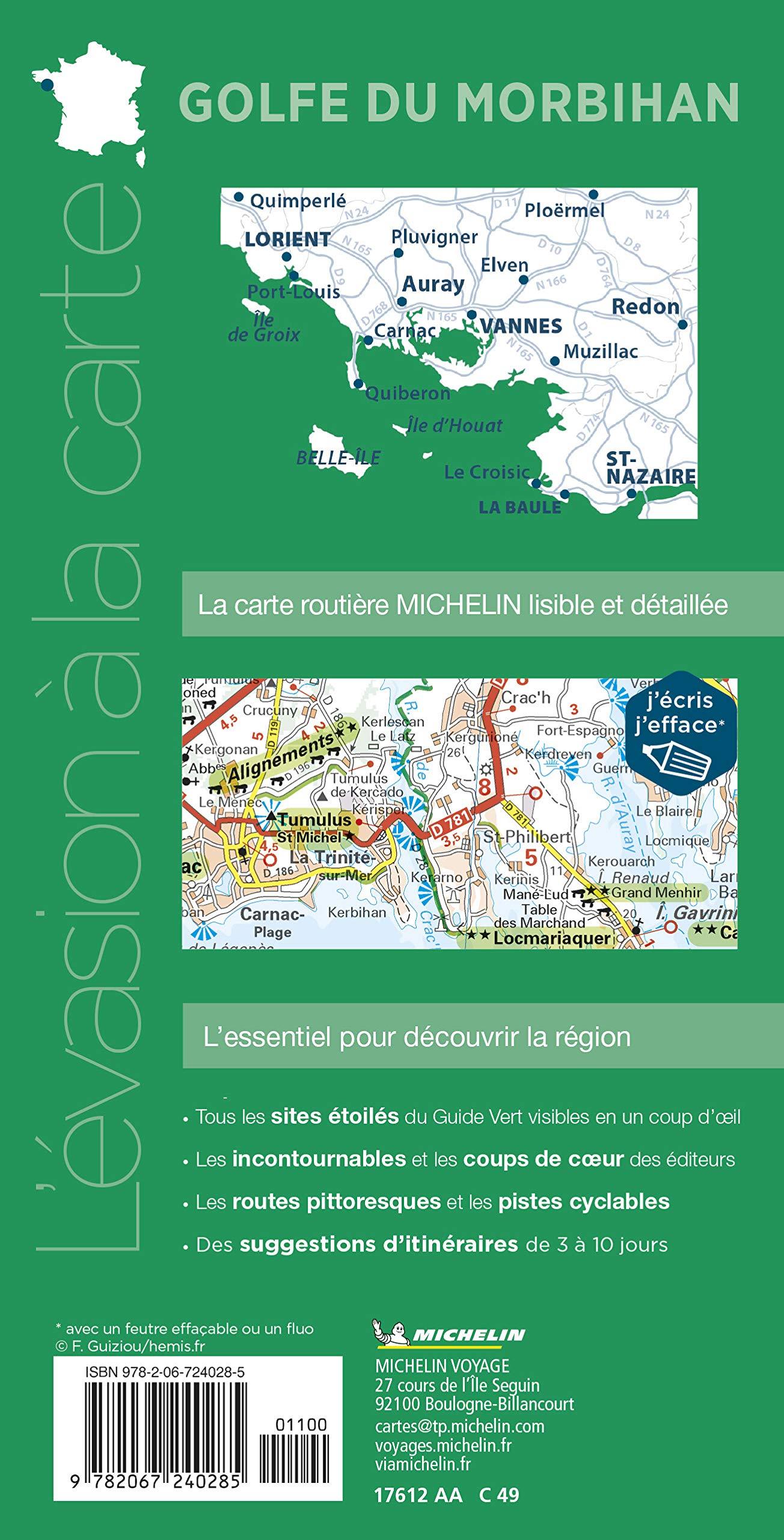
The TOP 75 map n° 17 - Gulf of Morbihan, Belle-Île, Groix & Quiberon Peninsula , published by the IGN , covers an emblematic coastal territory of southern Brittany , ideal for hiking , outdoor activities and discovering natural and cultural heritage.
The map offers a complete representation of the road network (highways, main, secondary and local roads), facilitating access to hiking trailheads , paragliding sites, climbing areas, as well as cultural and historical treasures : chapels, castles, caves, museums and amusement parks.
Cyclists and two-wheel enthusiasts can also plan suitable routes thanks to the presence of dedicated cycle paths and the entire road network.
Contour lines and marked points allow for precise assessment of the terrain and difficulty of the routes , an essential asset for preparing outings, both on the coast and in the hinterland.
Designed for hiking, the TOP 75 maps bring together all the essential information about the terrain:
-
Local network of routes, GR® and GR® de Pays of the FFRandonnée
-
Contour lines, rocky areas and terrain features to estimate the difficulty
-
Gîtes and mountain huts for organizing routes
-
Tourist and cultural information (viewpoints, remarkable buildings, castles, caves…)
-
GPS grid , facilitating precise location using GPS coordinates
The map also includes five extracts from TOP 25 maps at a scale of 1:25,000 , perfect for one- or two-day hikes in exceptional locations. IGN mapping at this scale is renowned for its reliability and high precision , meeting the expectations of even the most demanding hikers.