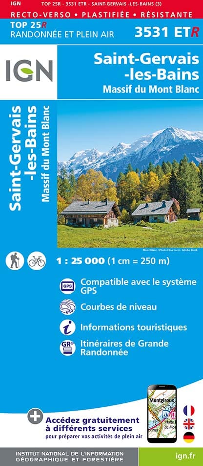
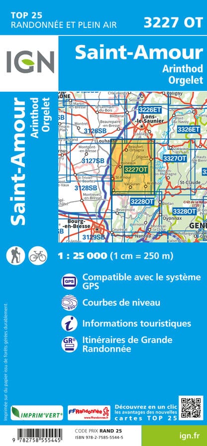
The IGN TOP 25 hiking map No. 3531 ETR covers the following area: St Gervais & Mont Blanc Massif in its durable version.
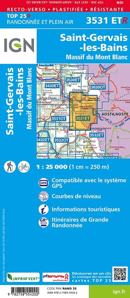
TOP 25 topographic map of the area between Saint-Gervais-les-Bains and Courmayeur from west to east, and from Chamonix to the Little St Bernard Pass from north to south, including the Mont Blanc massif.
- Contour lines at 10-metre intervals.
- Detailed legend: vegetation, rocks, watercourses and more.
- Hiking trails are shown.
- Scale: 1:25,000 (1 cm = 250 m).
- GPS-compatible map.
- The map is printed on a laminated, tear-resistant material, ideal for outdoor activities.
- Double-sided map: its compact format makes it easier to handle.
Municipalities covered: Servoz, Les Houches, Bourg-Saint-Maurice, Les Contamines-Montjoie, Saint-Gervais-les-Bains.
Places to discover: Lac Verney, Glacier de Talèfre, Lake Combal, Glacier de Bionnassay, Glacier de Leschaux, la Vallée Blanche, Mer de Glace, Glacier du Géant, Glacier des Bossons, Glacier de Tré la Tête, Seigne Pass, Tête Nord des Fours, le Brévent, Voza Pass, Mont Joly, Aiguille de tré la Tête, Col du Bonhomme, Aiguilles de Bionnassay, Aiguille de la Lée Blanche, Mont Maudit, Monte Favre, Punta dei Ghiacciai, Punta Baretti.