Road map - Southern Australia | Hema Maps

Price
Regular price 1650 €
Regular price Sale price 1650 €
/
  • In stock in France and in the USA
    Shipped within 24 to 48h from the warehouse closest to you
  • Free returns (*)
  • Real-time stock levels
  • Cartovia Guarantee – Delivery issue?
    We resend immediately upon receiving a simple photo.
  • In stock, ready to ship
  • Backordered, shipping soon
Tax included.

Frequently bought together:

The Southern Australia road map by Hema Maps extends from Alice Springs to Portland north to south, and from the Victoria Desert to Broken Hill west to east. It covers Flinders Ranges National Park and the Barossa Valley, among other areas.

At a scale of 1:1,800,000 (1 cm = 18 km), this detailed map includes tourist information, photographs and marked national and state parks, campsites, rest areas and service stations.

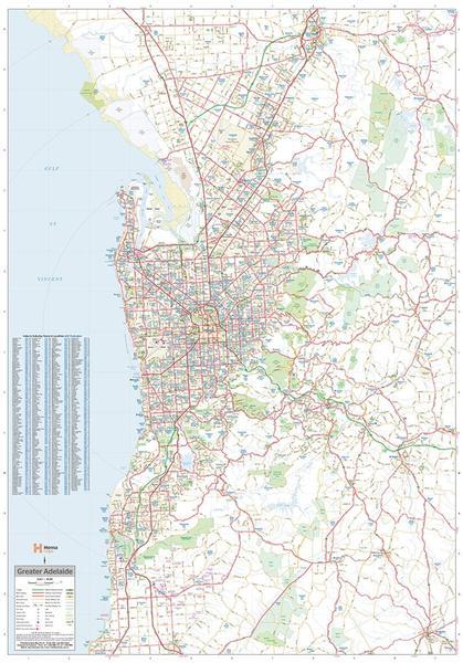
Insets show central Adelaide, its metropolitan area and the surrounding region. A town and city index and a distance table are included.


ISBN/EAN : 9781865009865
Publication date: 2014
Scale: 1/1,800,000 (1cm=18km)
Printed sides: both sides
Folded dimensions: 25 x 14 x 0.3cm
Unfolded dimensions: 100x70cm
Language(s): English
Weight: 89 g