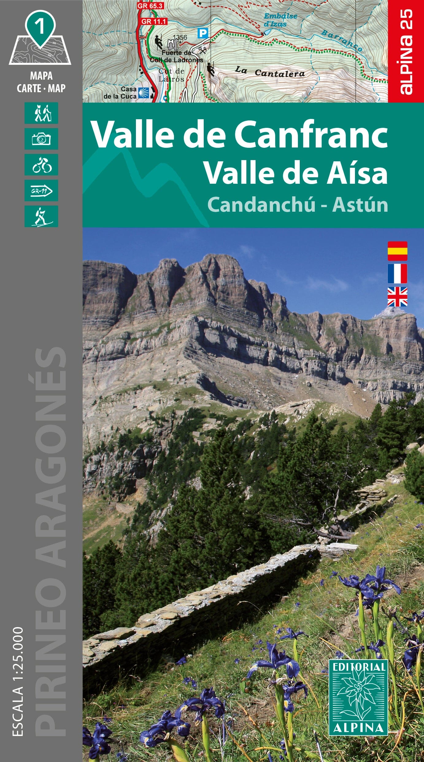
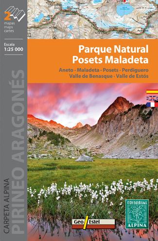
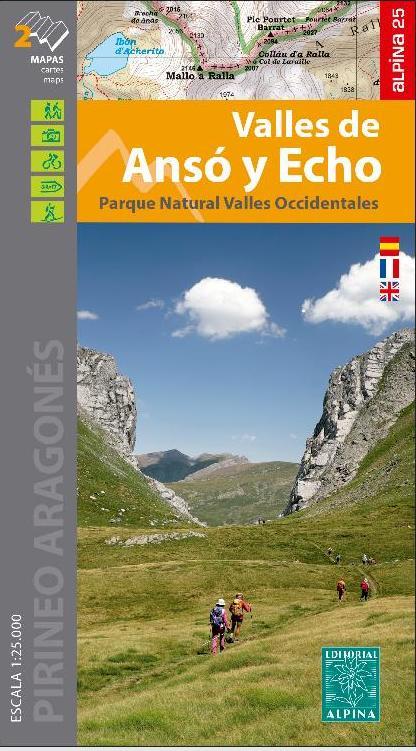
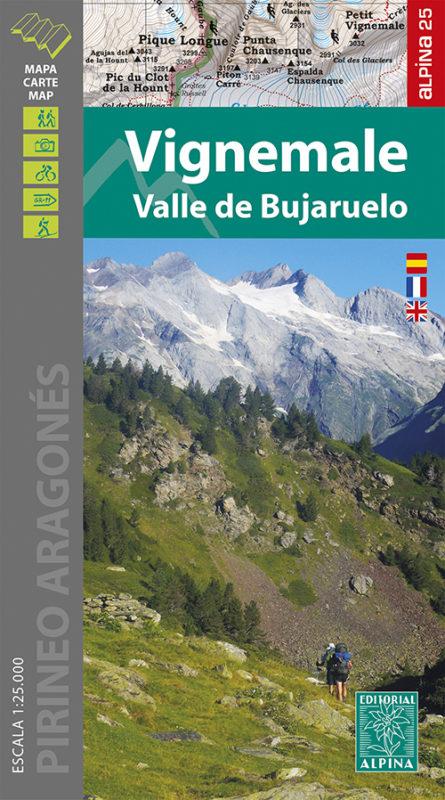
Hiking map of the Canfranc and Aísa valleys, published by the Spanish publisher Alpina.
Coverage: the Aragonese Pyrenees, the Aragón Valley, and the La Jacetania and Alto Gállego regions.
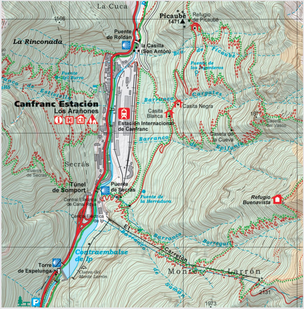
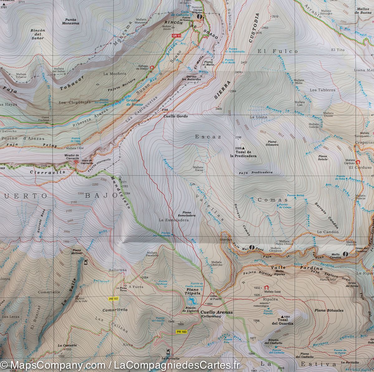
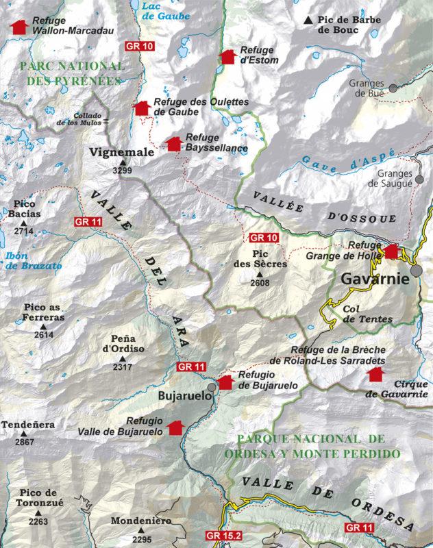
This 1:25,000 topographic map includes useful information such as waymarked GR and PR routes, paths, mountain huts, waterfalls and more.
The fold-out flap includes:
- Staffed mountain huts.
- Hikes.
- Geographical information.
- Must-see sites.
The Canfranc Valley, in the heart of the central Pyrenees, is surrounded by striking landscapes combining hay meadows, mixed woodland, alpine pastures and rocky summits. To the north, the border ridge with France, including peaks such as Pic des Moines at 2,347 m and Escalar at 2,283 m, forms the headwaters of the Río Aragón, the valley's backbone. Somport Pass, at 1,631 m, is a natural crossing between the two slopes and has played a key role in trade across the Pyrenees throughout history.
To the south rise distinctive summits such as Anayet at 2,574 m and Peña Collarada at 2,883 m, as well as the majestic Sierra de la Partacua. Side valleys such as Canal Roya and Izas further emphasise the rugged, spectacular character of this distinctive area, ideal for hiking, nature and adventure.