Map Booklet (English) - The Ridgeway Trail | Cicerone
- Free returns (*)
- Real-time stock levels
-
Cartovia Guarantee – Delivery issue?
We resend immediately upon receiving a simple photo.
📦 Hard-to-find maps - worldwide shipping
📦 Hard-to-find maps & travel guides - worldwide shipping, 30-day returns
🌞 Summer travel: 20,000+ maps in stock
🌞 Plan your summer: 20,000+ maps and travel guides in stock Details →
✅ Latest editions guaranteed — since 2010
✅ Latest editions guaranteed - 180,000+ travellers equipped since 2010
Discover the ancient landscapes and rich heritage of southern England on the Ridgeway National Trail. Stretching 139km (87 miles) from Avebury in Wiltshire to Ivinghoe Beacon in Buckinghamshire, this historic trail follows chalk ridges, rolling downland, and wooded valleys along Britain’s oldest road.
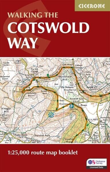
The Ridgeway National Trail is a mostly low-level route, suitable for all abilities, that takes 6 to 9 days to hike. This map booklet provides all the mapping you need to walk the Ridgeway National Trail:
Whether you are exploring ancient trackways, enjoying scenic chalk downs, or planning a week-long walking adventure, this map booklet ensures you can navigate the Ridgeway National Trail with confidence and ease.
ISBN/EAN
: 9781786312921
Publication date: 2026
Pagination: 56 pages
Folded dimensions: 11 x 17cm
Language(s): English
Weight:
71 g
The exclusive newsletter for travel and discovery enthusiasts!