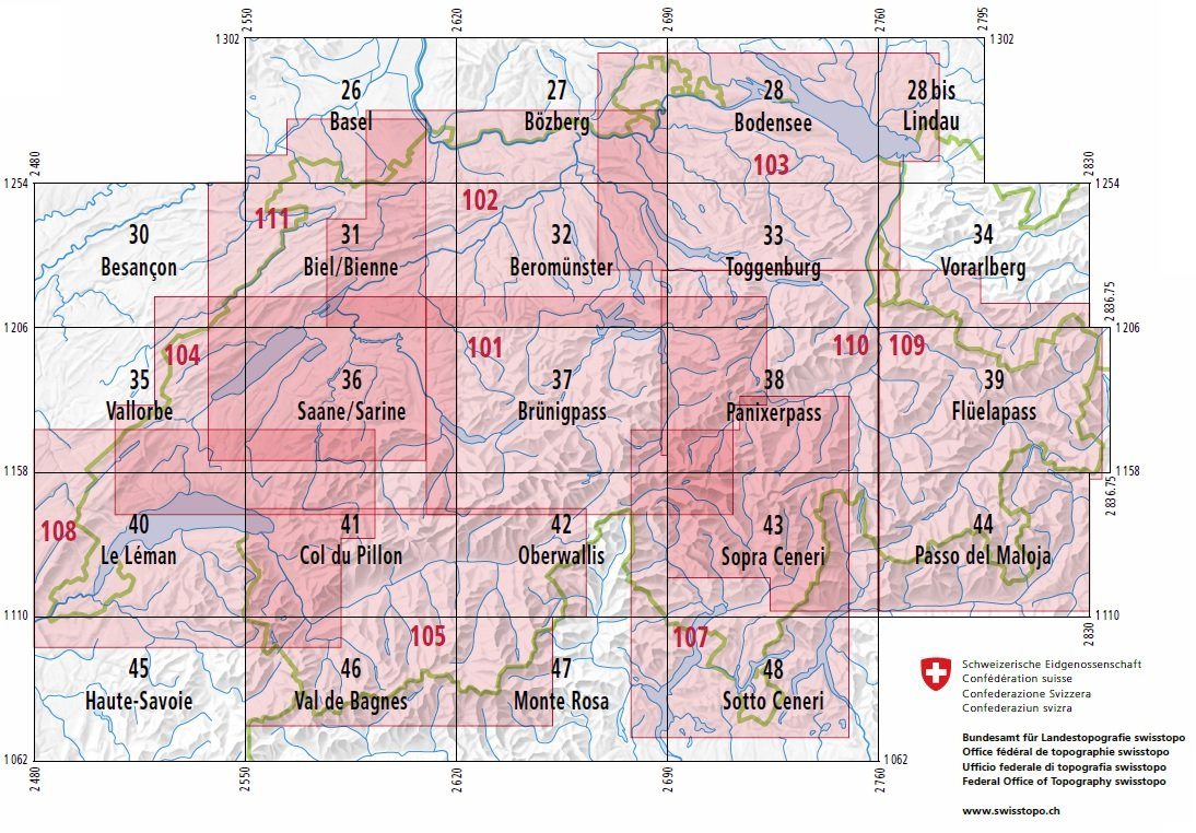
Topographic map No. 28 bis - Lindau (Switzerland) | Swisstopo - 1:100,000
- Free returns (*)
- Real-time stock levels
-
Cartovia Guarantee – Delivery issue?
We resend immediately upon receiving a simple photo.
📦 Hard-to-find maps - worldwide shipping
📦 Hard-to-find maps & travel guides - worldwide shipping, 30-day returns
🌞 Summer travel: 20,000+ maps in stock
🌞 Plan your summer: 20,000+ maps and travel guides in stock Details →
✅ Latest editions guaranteed — since 2010
✅ Latest editions guaranteed - 180,000+ travellers equipped since 2010
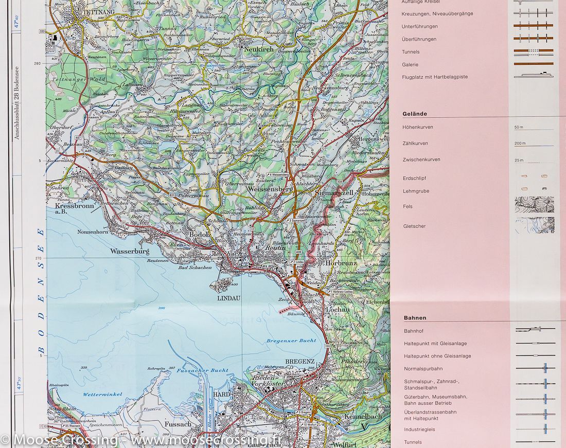
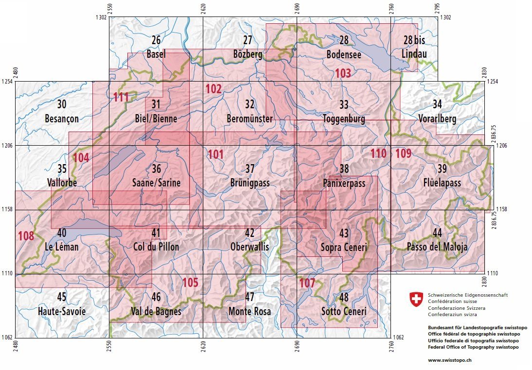
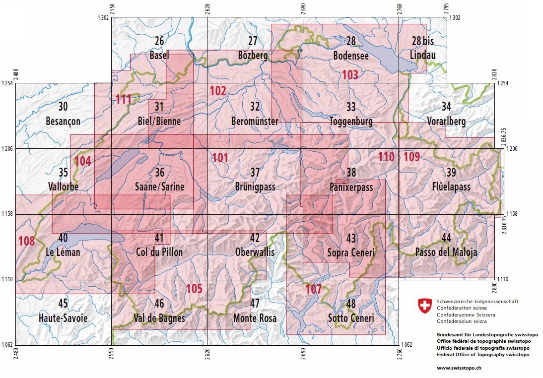
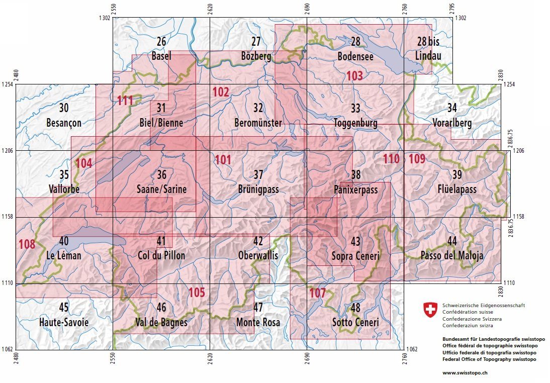
Lindau and eastern Lake Constance is covered on this topographic map published by Swisstopo. Reference: 28 bis.
This map is intended for hiking.
The map shows Lindau, Bregenz and the area north of these towns as far as Leutkirch and Lindenberg in Germany.
Contour lines and mountain information are included.
Scale: 1:100,000.
ISBN/EAN : 9783302100289
Publication date: 2024
Scale: 1/100,000 (1cm=1km)
Printed sides: front
Folded dimensions: 13 x 19cm
Unfolded dimensions: 78 x 56cm
Language(s): multilingual including French
Weight:
44 g
Ok
The exclusive newsletter for travel and discovery enthusiasts!