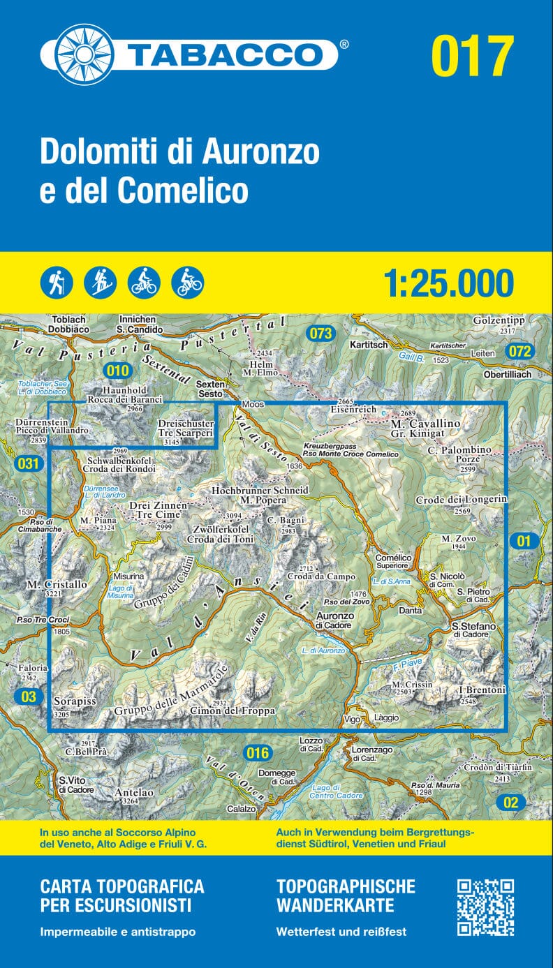
Hiking Map Set - Dolomites - 1:35,000 | Kompass 672

Price
Regular price 2700 €
Regular price Sale price 2700 €
/
  • In stock in France and in the USA
    Shipped within 24 to 48h from the warehouse closest to you
  • Free returns (*)
  • Real-time stock levels
  • Cartovia Guarantee – Delivery issue?
    We resend immediately upon receiving a simple photo.
  • In stock, ready to ship
  • Backordered, shipping soon
Tax included.

Frequently bought together:

This Kompass map set covers the entire Dolomites with 4 detailed maps. Designed for hiking, cycling and other outdoor activities, it combines clear mapping with a wealth of useful information about the terrain.

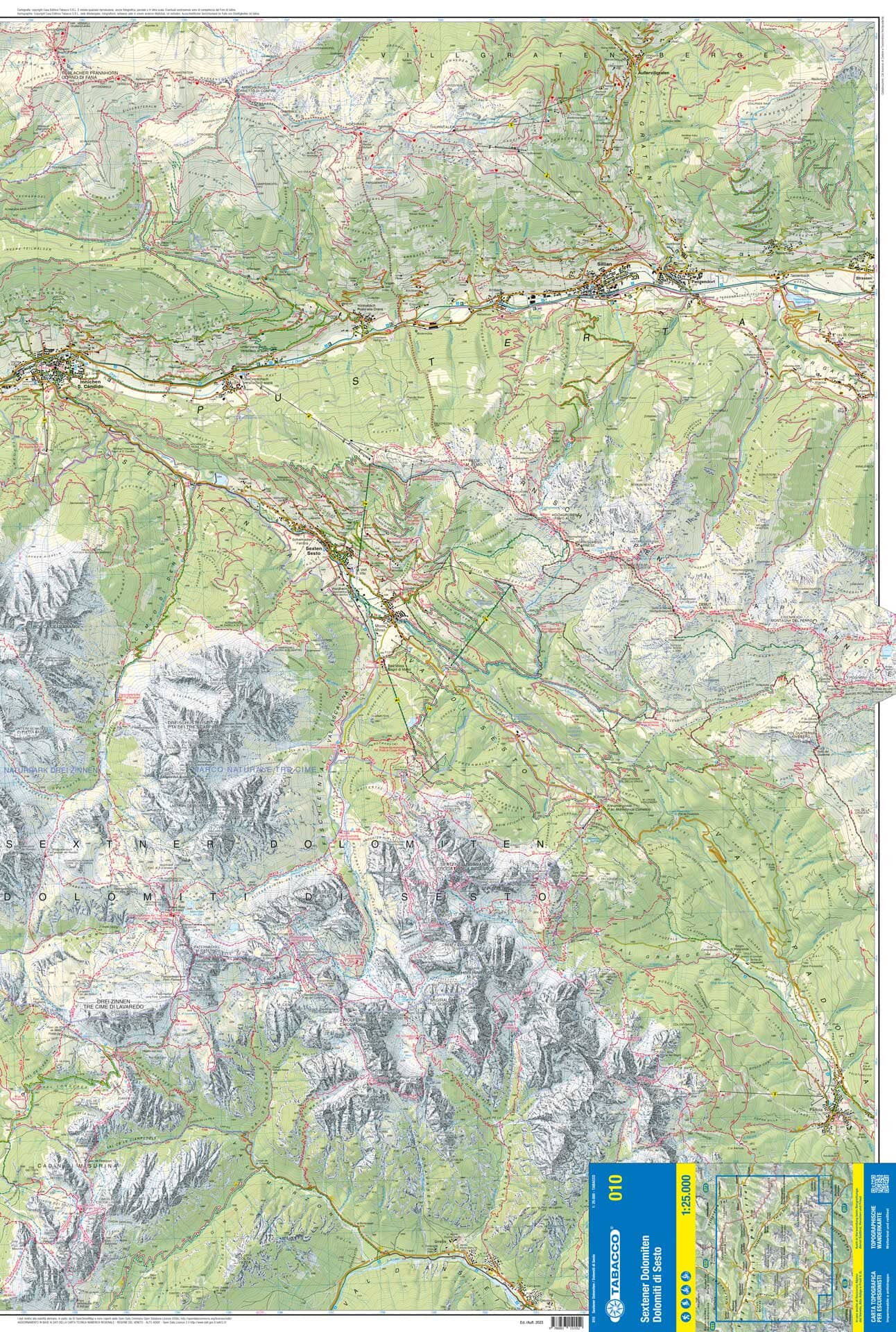
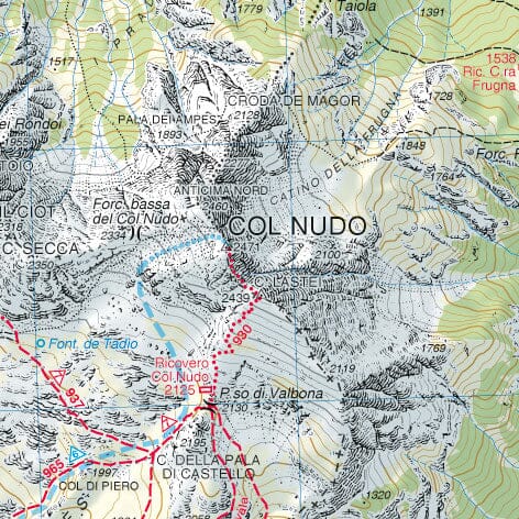
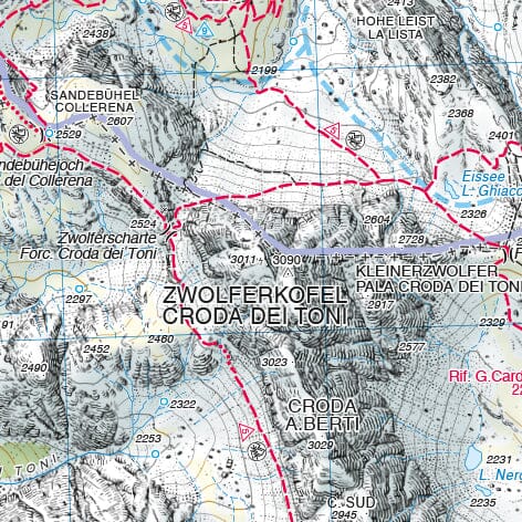
The maps include official hiking trails with their names and numbers, cycling routes and trails, via ferratas, inns and refuges, car parks, public transport, ski touring and cross-country ski routes, springs, bathing areas and much more.

The relief is represented by vegetation, contour lines, rock drawings and mountain shading.

Features

  • Set of 4 maps
  • Scale: 1:35,000
  • 1 cm on the map corresponds to 350 m on the ground
  • Hiking and cycling trails
  • Via ferratas
  • Huts and inns
  • Car parks
  • Buses and trains
  • Ski touring and cross-country ski routes
  • Springs and swimming areas
  • Map areas usable offline in the Kompass app

About the region

The Dolomites are renowned for their steep rock formations and picturesque mountain villages. Piz Boè and Alpe di Siusi offer remarkable panoramic views, while Cortina d'Ampezzo and Canazei are among the well-known starting points for alpine activities.


ISBN/EAN : 9783991546191
Publication date: 2026
Scale: 1/35,000 (1 cm = 350 m)
Folded dimensions: 4.3 x 7.5 in
Language(s): German, English, Italian
Weight: 321 g