Utah, carte facile à lire | Rand McNally carte routière Rand McNally

Utah, easy-to-read map | Rand McNally

Price
Regular price $1800
Regular price Sale price $1800
/
  • Shipped within 24 to 48h from our warehouse in the USA
  • All-inclusive price: customs duties are already paid by Cartovia
  • Free returns (*)
  • Real-time stock levels
  • Cartovia Guarantee – Delivery issue?
    We resend immediately upon receiving a simple photo.
  • In stock, ready to ship
  • Backordered, shipping soon
Tax included.

Frequently bought together:

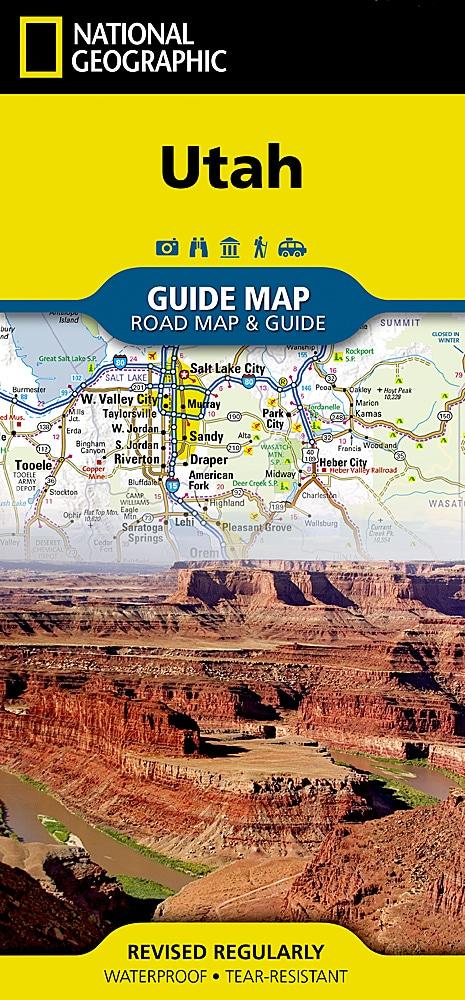
This easy-to-read road map from Rand McNally covers Utah.

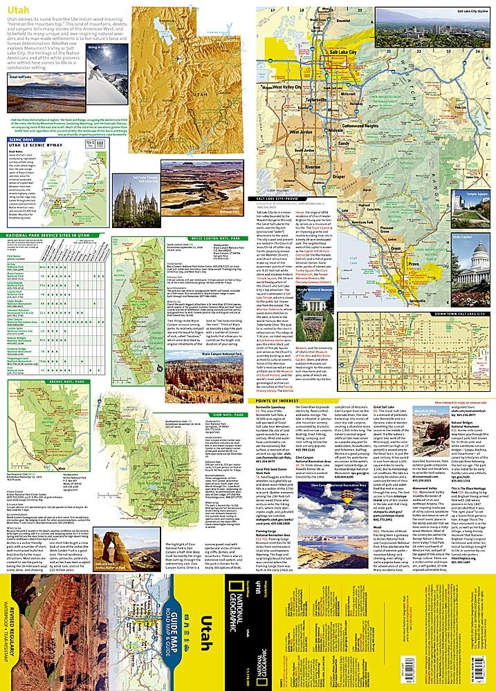
  • Points of interest and a state park chart.
  • State distance chart and driving-time map.
  • Practical on-the-road toolkit section.
  • Visitor centre information, climate data, and state facts and symbols.
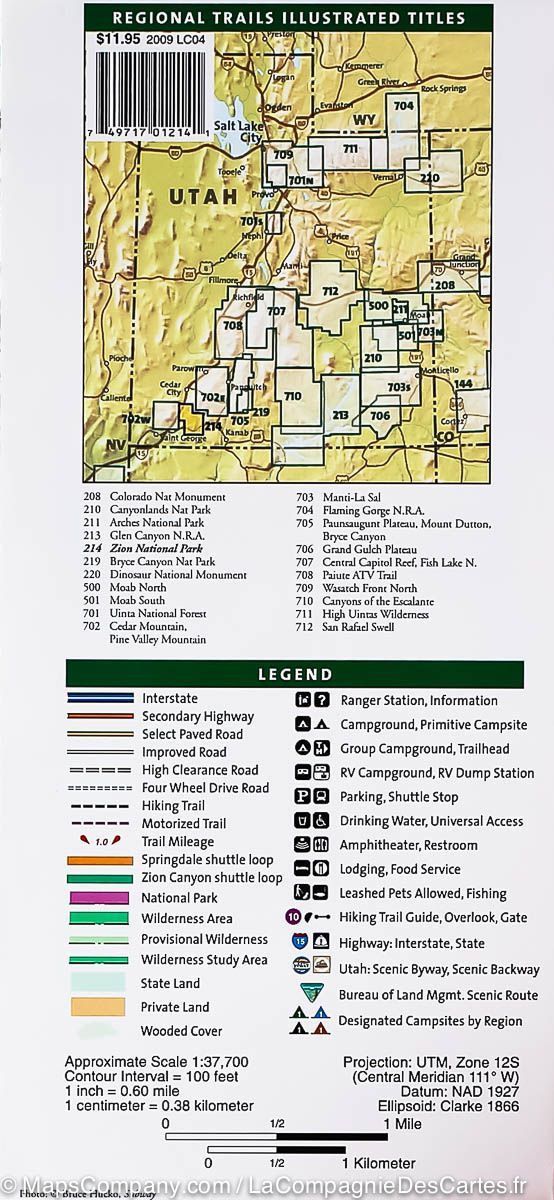
  • Easy-to-use legend for quick location of destinations.
  • Detailed index.

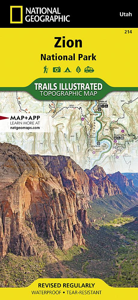
Detailed maps included: Arches, Bryce Canyon, Canyonlands and Capitol Reef national parks; Logan, Ogden, Provo, St. George, Salt Lake City and its surroundings, downtown Salt Lake City; Zion National Park.


ISBN/EAN : 9780528027796
Publication date: 2025
Folded dimensions: 9.06 inches x 4.33 inches (23 x 10 cm)
Unfolded dimensions: 40.16 inches x 27.95 inches (102 x 70 cm)
Language(s): English
Weight: 1.9 oz