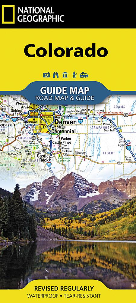
Carte de randonnée n° 145 - Pagosa Springs / Bayfield (Colorado) | National Geographic carte de randonnée National Geographic

Hiking map no. 145 - Pagosa Springs / Bayfield (Colorado) | National Geographic

Price
Regular price $2600
Regular price Sale price $2600
/
  • In stock in the USA and in the UK
    Shipped within 24 to 48h from the warehouse closest to you
  • All-inclusive price: customs duties are already paid by Cartovia
  • Free returns (*)
  • Real-time stock levels
  • Cartovia Guarantee – Delivery issue?
    We resend immediately upon receiving a simple photo.
  • In stock, ready to ship
  • Backordered, shipping soon
Tax included.

Frequently bought together:

Water-resistant, tear-resistant topographic map. Introduced for southwestern Colorado, National Geographic's Trails Illustrated Pagosa Springs and Bayfield map provides detailed coverage of the extensive recreation lands surrounding Pagosa Springs, regularly described in the media as one of the state's undiscovered gems.

Designed to meet National Geographic's high quality standards, the map was created with the help of the San Juan Public Lands Center, a distinctive cooperative undertaking between the BLM's San Juan Field Office and San Juan National Forest. These agencies operate under the joint Service First Initiative, enabling USFS and BLM offices to combine resources to improve public land management.

Like all Trails Illustrated maps, Pagosa Springs and Bayfield includes detailed topographic information, clearly marked roads and trails classified by use, locations of popular recreation areas, and navigation aids for GPS and compass use.


ISBN/EAN : 9781566952392
Publication date: 2019
Scale: 1:63.360 (1 cm is 633.6 m)
Printed sides: both sides
Folded dimensions: 7.48 x 3.94 inch / 19 x 10cm
Unfolded dimensions: 24.8 x 32.68 inch / 63 x 83cm
Language(s): English
Weight: 3.2 oz