Carte de randonnée n° 827 - Glacier Peak Wilderness Area - Mt Baker - Snoqualmie & Okanogan - Wenatchee National Forests (Washington) | National Geographic carte de randonnée National Geographic

Hiking map no. 827 - Glacier Peak Wilderness Area - Mt Baker - Snoqualmie & Okanogan - Wenatchee National Forests (Washington) | National Geographic

Price
Regular price $2600
Regular price Sale price $2600
/
  • In stock in the USA and in the UK
    Shipped within 24 to 48h from the warehouse closest to you
  • All-inclusive price: customs duties are already paid by Cartovia
  • Free returns (*)
  • Real-time stock levels
  • Cartovia Guarantee – Delivery issue?
    We resend immediately upon receiving a simple photo.
  • In stock, ready to ship
  • Backordered, shipping soon
Tax included.

Frequently bought together:

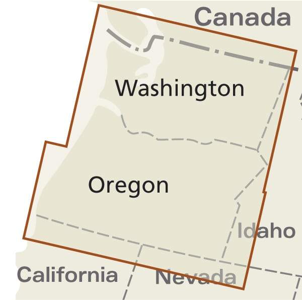
Hiking map of the Glacier Peak Wilderness Area, in Mount Baker-Snoqualmie and Okanogan-Wenatchee National Forests, Washington, published by National Geographic. It is one of five Trails Illustrated maps of the Washington Cascades.

This detailed map includes Noisy Diobsud Wilderness, Mount Baker National Recreation Area, the Skagit Wild and Scenic River, and the Mount Baker, Mountain Loop and North Cascades scenic byways. Wilderness coverage includes Mount Baker, Boulder River and Noisy Diobsud.

Other features include Mount Pilchuck and Wallace Falls State Parks, Baker and Spada Lakes, Lake Shannon, hiking trails, mountain biking, scenic back roads, boat ramps, climbing, snow parks, ski resorts, fishing, snowmobile trails, cross-country skiing, waterfalls and day-use areas.

Trails, trailheads, points of interest and campsites are shown. Waterproof and tear-resistant. Scale: 1:75,000.


ISBN/EAN : 9781566955096
Publication date: 2020
Scale: 1: 75,000 (1 cm represents 750 m)
Printed sides: both sides
Language(s): English
Weight: 95 g