Carte de randonnée n° 321 - Voie navigable Allagash Wilderness - sud (Maine) | National Geographic carte de randonnée National Geographic

Hiking map no. 321 - Allagash Wilderness Waterway - South (Maine) | National Geographic

Price
Regular price $2600
Regular price Sale price $2600
/
  • In stock in the USA and in the UK
    Shipped within 24 to 48h from the warehouse closest to you
  • All-inclusive price: customs duties are already paid by Cartovia
  • Free returns (*)
  • Real-time stock levels
  • Cartovia Guarantee – Delivery issue?
    We resend immediately upon receiving a simple photo.
  • In stock, ready to ship
  • Backordered, shipping soon
Tax included.

Frequently bought together:

National Geographic's Allagash Wilderness Waterway recreation maps, TI 400 and 401, are double-sided and waterproof, designed for outdoor enthusiasts and tourists.

The waterway is divided between two maps for exceptional detail. Both provide useful information including boating regulations, recreation-use and access rules, the river difficulty scale, checkpoints, visitor and ranger station locations, and more.

UTM and latitude/longitude grids, a compass rose and a scale bar assist navigation. Year-round activity locations are clearly marked: scenic viewpoints, wildlife viewing, boat launches and canoe put-ins, lookout towers, amphitheatres, mountain biking trails and other points of interest. Park and forest boundaries and access points are also shown.

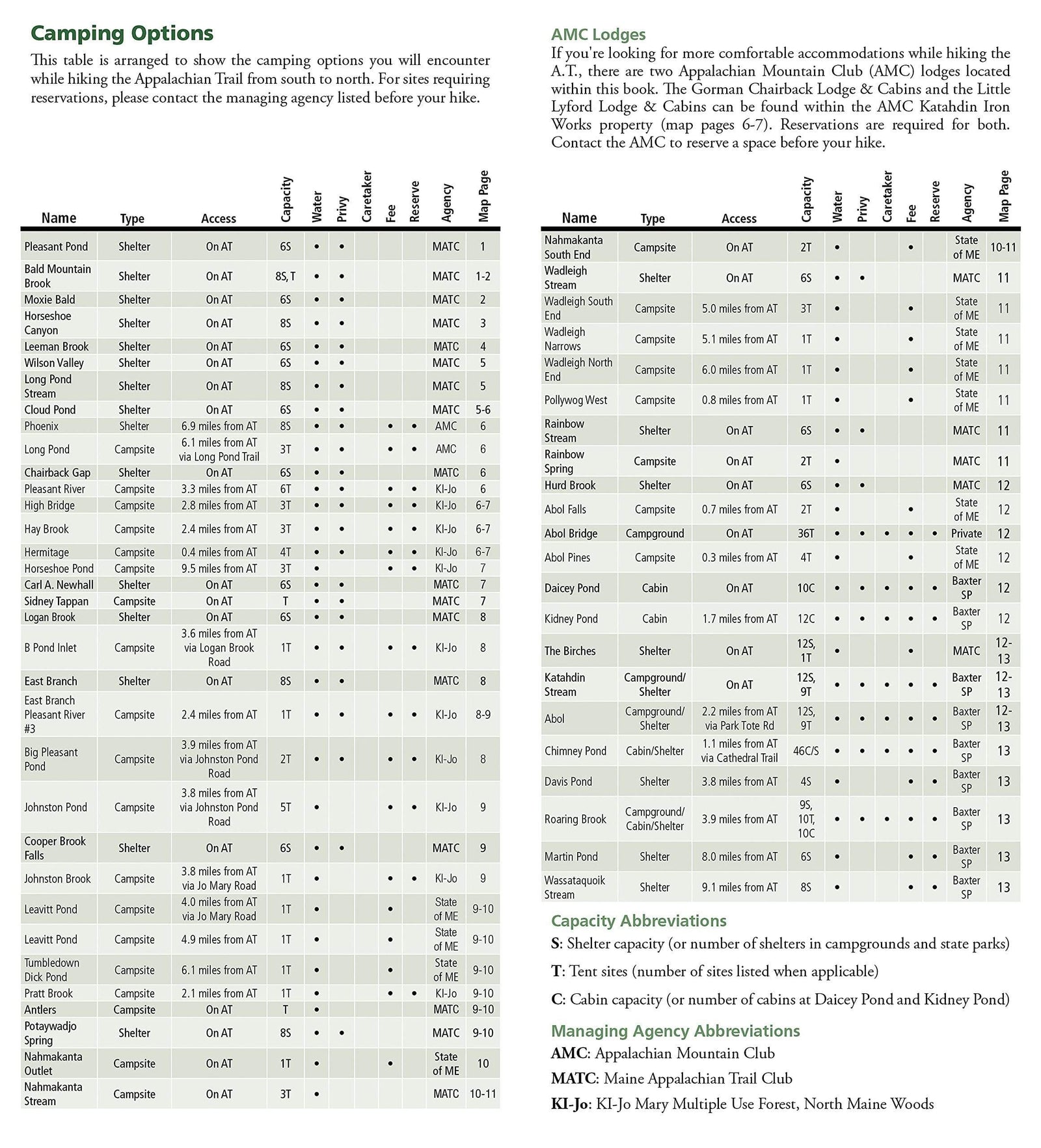
Campers will appreciate the varied camping facilities indicated, including primitive campsites. Playgrounds and sports fields are also mentioned.


ISBN/EAN : 9781566955874
Publication date: 2020
Scale: 1:63.360 (1cm is 633.6m)
Printed sides: both sides
Folded dimensions: 9.45 x 4.33 inch / 24 x 11cm
Unfolded dimensions: 37.01 x 24.8 inches / 94 x 63cm
Language(s): English
Weight: 3.2 oz