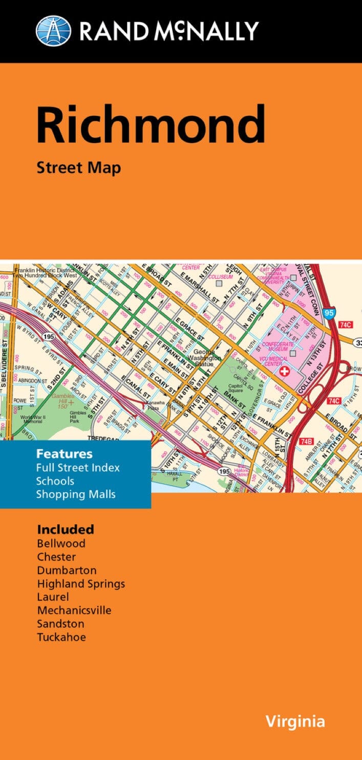
Carte régionale - Virginie sud-est : Richmond à Hampton | Rand McNally carte routière Rand McNally

Regional map - South-eastern Virginia: Richmond to Hampton | Rand McNally

Price
Regular price $1700
Regular price Sale price $1700
/
  • Shipped within 24 to 48h from our warehouse in the USA
  • All-inclusive price: customs duties are already paid by Cartovia
  • Free returns (*)
  • Real-time stock levels
  • Cartovia Guarantee – Delivery issue?
    We resend immediately upon receiving a simple photo.
  • In stock, ready to ship
  • Backordered, shipping soon
Tax included.

Frequently bought together:

This folding map depicts south-eastern Virginia, from Richmond to Hampton Roads and is published by Rand McNally.

Its accurate, reliable cartography helps travellers find their way around the region. It is offered at an attractive price.

Rand McNally folding maps have been a trusted reference for travellers for many years.

  • Regularly updated colour cartography.
  • Clearly marked Interstate highways, U.S. highways, state roads and county roads.
  • Parks, points of interest, airports, county boundaries and streets.
  • Maps of downtown areas and the surroundings.
  • Major attractions and golf courses.
  • An easy-to-use legend, detailed index and main street index for locating destinations quickly.

Enlargements show downtown Norfolk and Portsmouth, Richmond and Virginia Beach, Williamsburg, the Colonial Williamsburg historic site, Richmond International Airport, Newport News/Williamsburg International Airport and Norfolk International Airport.


ISBN/EAN : 9780528028908
Publication date: 2023
Folded dimensions: 9.06 inches x 4.33 inches (23 x 11 cm)
Unfolded dimensions: 38.58 inches x 26.77 inches (98 x 68 cm)
Language(s): English
Weight: 70 g