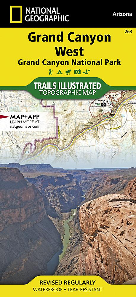
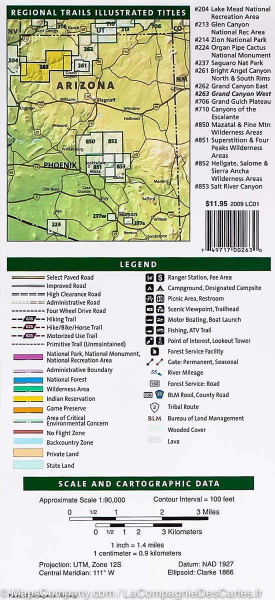
Set of waterproof and tear-resistant topographic maps of Grand Canyon National Park. With more than 5 million visitors annually, the park is one of America's most popular destinations. The supplied description gives its area as more than 1.2 million hectares, extending from Lake Mead and Parashant National Monument in the west to Glen and Paria Canyons in the east.
The park and neighbouring national forests and wilderness areas offer sightseeing, overnight family camping, demanding backcountry routes and river trips.
National Geographic's Trails Illustrated set offers two perspectives: an overview of the entire park and neighbouring public lands on maps 262 and 263, and enhanced detail of the busy central Grand Canyon area, including Grand Canyon Village and Bright Angel Trail, on map 261.
Grand Canyon East
Colorado River miles 0-142; South Rim Visitor Center; Grand Canyon Village; Route 64, "Desert View Drive"; North Rim Visitor Center; Route 67; Marble Canyon; Paria Canyon; Vermillion Cliffs National Monument; Paria Canyon Wilderness; Coyote Buttes; House Rock Wildlife Area; Kaibab National Forest; Saddle Mountain Wilderness; Grand Canyon Game Preserve; the Coconino Plateau; Arizona Trail; Great Western Trail; and more.
Grand Canyon West
Colorado River miles 110-278; Havasu Falls; Mount Trumbull Wilderness; Mount Logan Wilderness; Parashant National Monument; Kaibab National Forest; Dead Horse Mesa; Timp Point; Hualapai Indian Reservation; Route 103; Kelly Point; Parashant Canyon Route; Joshua Tree Forest; Grand Wash Cliffs; and more.
Grand Canyon / Bright Angel Canyon, North and South Rims
Colorado River miles 60-98; North and South Rim Visitor Centers; Grand Canyon Village; Grand Canyon / National Geographic IMAX; Tusayan; Grand Canyon Railroad Station; Bright Angel Trail with elevation profile; West Rim Trail; Kaibab Trail; Arizona Trail; Grand Canyon Lodge; and more.
Scales: 1:35,000 and 1:90,000.