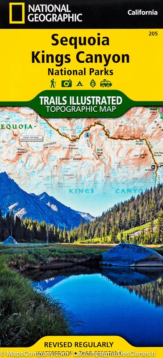
Hiking map no. 252 of Channel Islands National Park, California. Just offshore, the Channel Islands support many unique plant and animal species. National Geographic's Trails Illustrated map provides detailed coverage of all five park islands, including The Nature Conservancy area on Santa Cruz Island and the many surrounding state marine reserves.
Developed with the National Park Service and other agencies, it provides general information about the park and each island, regulations and guidelines, transport to the islands, and safety advice for hiking, swimming, snorkelling, diving, boating and kayaking.
A guide for each island lists trail start and end points, distances and difficulty. Trails have distance markers and are coded by type. Island roads that can also be walked are shown. A detailed inset covers the popular Scorpion area.
Contours, elevations, labelled summits, selected waypoints, water features and wooded areas assist navigation. Recreation facilities include ranger stations, campsites, toilets, picnic areas and historic buildings.
Printed on waterproof, tear-resistant "Backcountry Tough" paper, the map includes a full UTM grid for GPS navigation.
Other features listed in the supplied description are Anacapa Passage, Channel Islands National Park, Encino Reservoir, Franklin Canyon Reservoir, Laguna Point, Point Dume, San Fernando Valley, San Miguel Island, San Miguel Passage, Santa Barbara Island, Santa Cruz Channel, Santa Cruz Island, the Santa Monica Mountains, Santa Rosa Island, Sepulveda Dam and Stone Canyon Reservoir.