Nautical Chart n° 8 - Kotka Kaunissaari Virolahti (Finland) | Karttakeskus

Price
Regular price $4300
Regular price Sale price $4300
/
  • Shipped within 24 to 48h from our warehouse in France
  • All-inclusive price: customs duties are already paid by Cartovia
  • Free returns (*)
  • Real-time stock levels
  • Cartovia Guarantee – Delivery issue?
    We resend immediately upon receiving a simple photo.
  • In stock, ready to ship
  • Backordered, shipping soon
Tax included.

Frequently bought together:

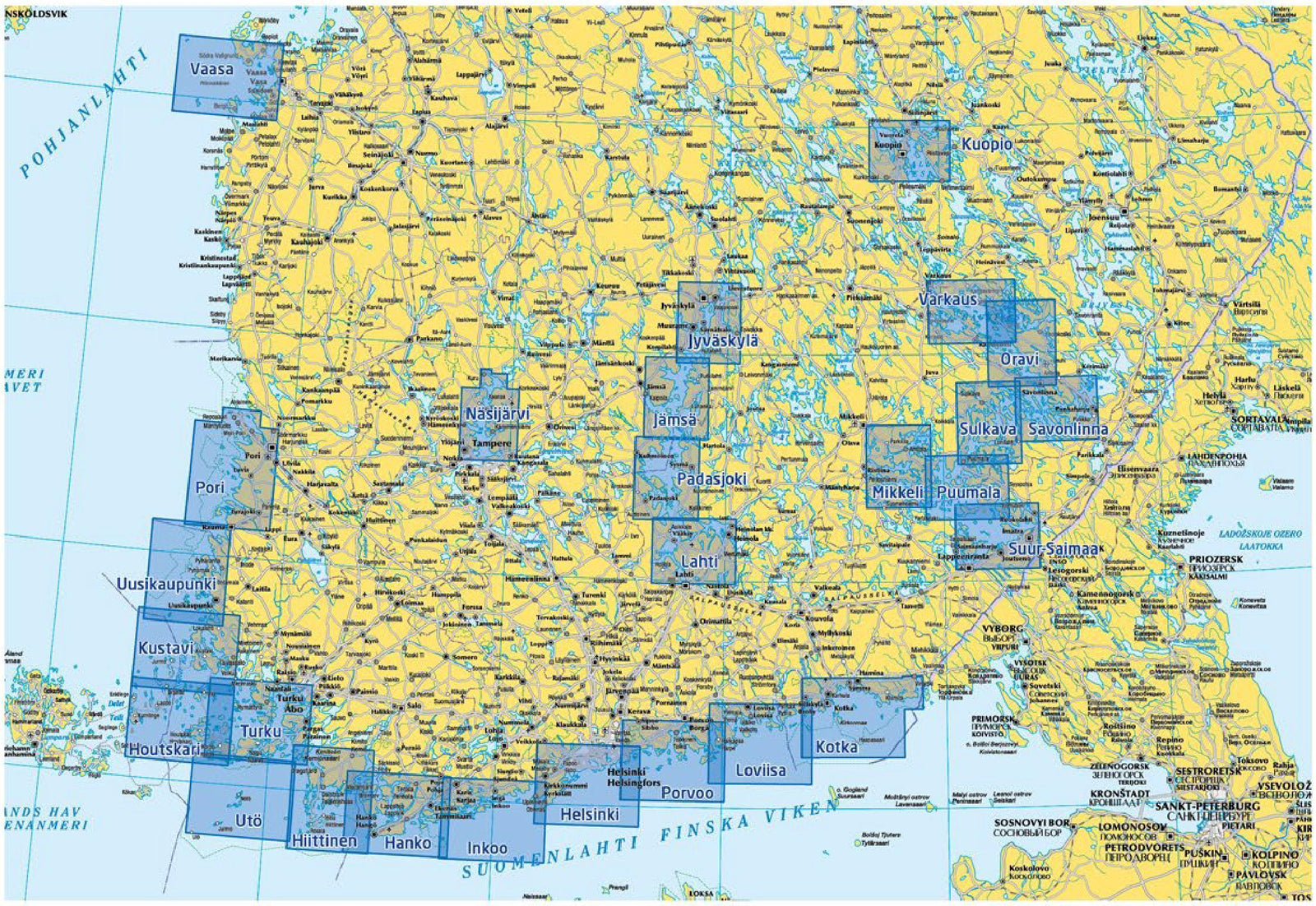
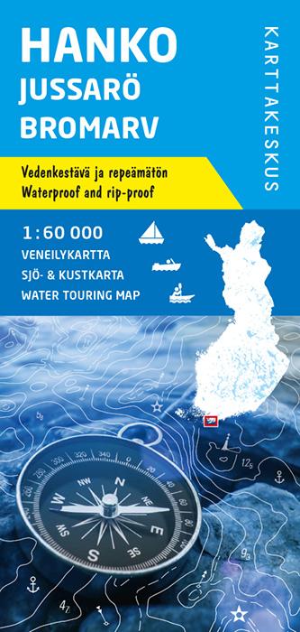
This Karttakeskus nautical chart no. 8 covers the Kotka Kaunissaari Virolahti area in Finland.

It is part of a series of waterproof and tear-resistant charts. When folded, the chart is compact and easy to handle and store on board. When opened, it displays a wide area and is suitable for route planning as well as for use alongside digital charts.

The charts are based on nautical chart data published by the Finnish Transport and Communications Agency, supplemented by land survey material from the National Land Survey of Finland.

Important: Karttakeskus recreational boating charts are not official nautical charts approved by the Finnish Transport and Communications Agency.


ISBN/EAN : 9789522664921
Publication date: 2017
Scale: 1/40,000 to 1/60,000
Printed sides: front
Folded dimensions: 11 x 23cm
Unfolded dimensions: 100x70cm
Language(s): English, Finnish
Weight: 80 g