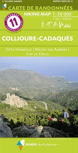
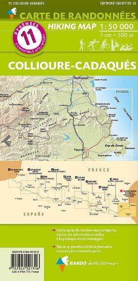
Hiking map No. 11 - Collioure, Cadaquès, Albères Massif, Côte Vermeille & Cap de Creus | Rando Editions

Price
Regular price $2400
Regular price Sale price $2400
/
  • Shipped within 24 to 48h from our warehouse in France
  • All-inclusive price: customs duties are already paid by Cartovia
  • Free returns (*)
  • Real-time stock levels
  • Cartovia Guarantee – Delivery issue?
    We resend immediately upon receiving a simple photo.
  • In stock, ready to ship
  • Backordered, shipping soon
Tax included.

Frequently bought together:

Collioure, Cadaquès, Albères Massif, Côte Vermeille & Cap de Creus: a hiking map No. 11 from Rando Editions.

The detailed topographic map covers the areas around Collioure and Cadaquès, the Albères Massif, the Côte Vermeille in Roussillon and Cap de Creus.

Contour lines and useful information for mountain activities.

  • Staffed mountain huts, overnight lodgings, Rando’Plume accommodation, campsites and bivouac areas.
  • Tourist sights and viewpoints; museums and other cultural sites.
  • Centres for horse riding, mountain biking, free flight, climbing, canyoning, rafting and other sports.

Scale: 1:50,000 (1 cm = 500 m).

Part of the Rando Editions Pyrenees series.


ISBN/EAN : 9782344021316
Publication date: 2017
Scale: 1/50,000 (1cm=500m)
Printed sides: front
Folded dimensions: 22.5 x 11 x 0.5cm
Unfolded dimensions: 120 x 90cm
Language(s): French English
Weight: 80 g