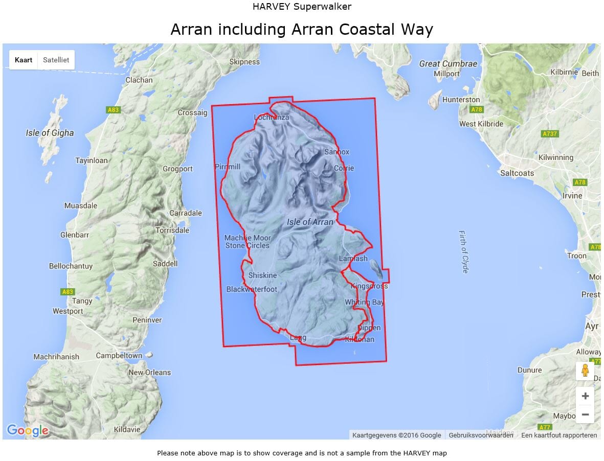
Carte de randonnée - Arran & Arran Coastal Way XT25 | Harvey Maps - Superwalker maps

Prix
Prix régulier CHF 2300
Prix régulier Prix réduit CHF 2300
/
  • Expédition sous 24 h ouvrées depuis notre entrepôt en France
  • Choisissez votre mode et vos frais de livraison à l’étape de paiement, avant de valider.
  • Retours gratuits (*)
  • Stocks en temps réel
  • En stock
  • En rupture de stock, expédition prochainement
Taxes incluses.

Souvent achetés ensemble :

Carte de randonnée imperméable au 1/25 000 éditée par Harvey Maps, idéale pour découvrir les plus belles régions de l'Angleterre, du Pays de Galles ou de l'Écosse.
Description originale de l'éditeur :

Features the renowned Goat Fell, A'Chir ridge, Beinn Bharrain, Glen Sannox & Glen Rosa.

Detailed map for hillwalkers of the whole island.
The 100km (62 miles) Arran Coastal Way is also shown. The route links the coastline of the island with the villages and the stunning scenery Arran has to offer.
Includes Gaelic-English glossary and information on local archaeological and historical sites.
Landscape and wildlife information from the National Trust for Scotland

Includes 4 Corbetts and 1 Graham.


ISBN/EAN : 9781851375264
Date de publication : 2014
Echelle : 1/25 000 (1 cm = 250 m)
Impression : recto-verso
Dimensions plié(e) : 11,6 x 24,3 cm
Dimensions déplié(e) : 48,6 x 140 cm
Langue(s) : anglais
Poids : 70 g