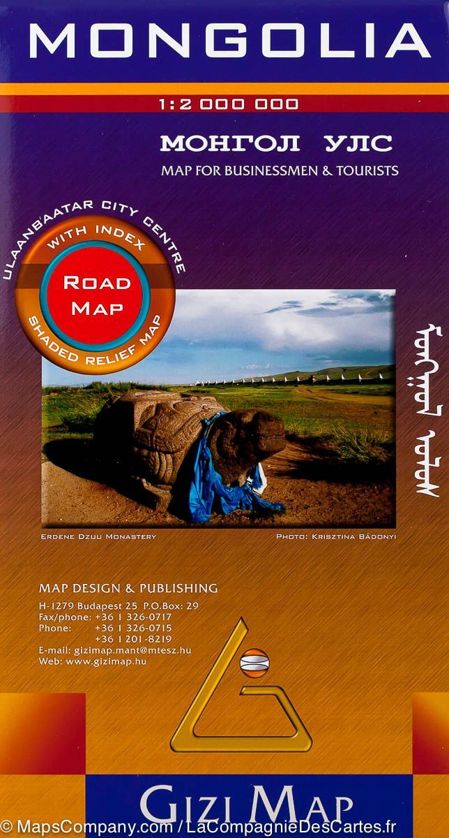
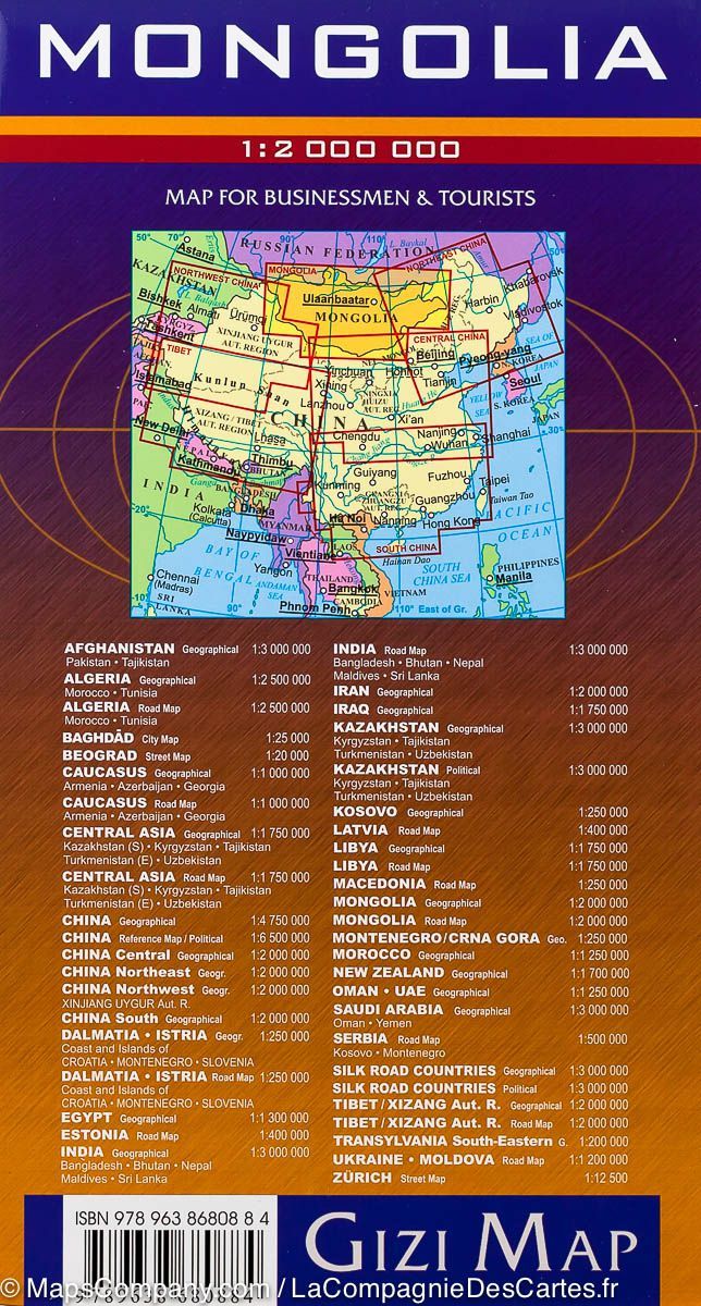
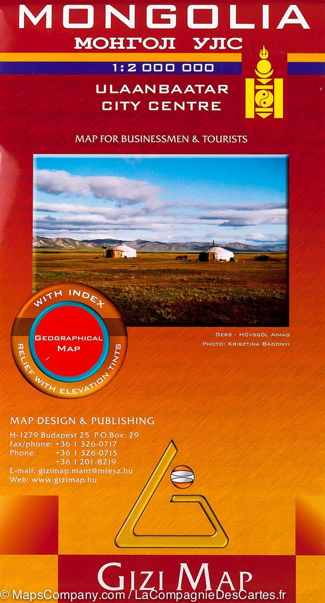
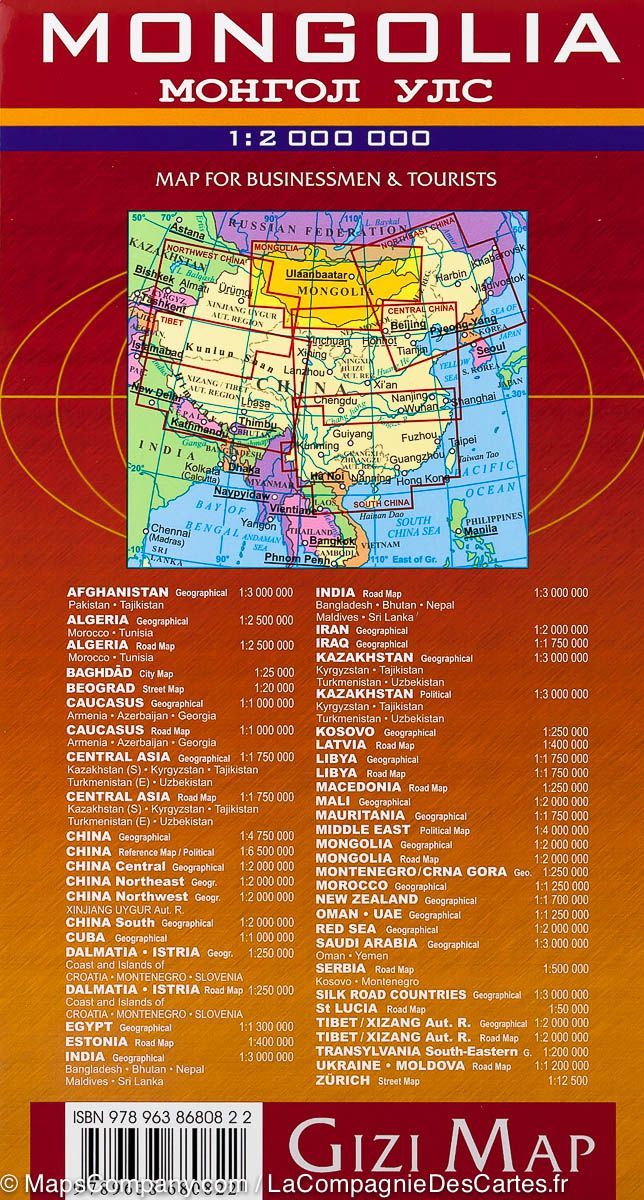
I used this map to drive myself around Mongolia for more then three months. Mapping Mongolia is not an easy task, as there are so few formal roads, and so many informal tracks, some of which become effectively major roads.
The Gizi map does a good job of covering many routes. Their major red routes are usuall major thoroughfares, but there are other tiny red lines which are also major roads.
The map is full of places of interest, but often times the names (or spelling) they use are questionable. Unless you can find a local guide who knows the place, or find some coordinates online, you are very unlikely to find the place. Also, when I did find one of these points of interest, they were often very inaccurately located on the map.
The shading/topography of the map is adequate, but it does not really give a clear sense of the terrain.
Like any traditional paper map, the paper will eventually tear at the edges, but is of pretty good quality.
One thing to note is that the map is printed entirely on one side, so it can be spread out for a view of the entire country.
Altogether, an excellent map for planning and a very good map for using on the ground in my opinion/experience.