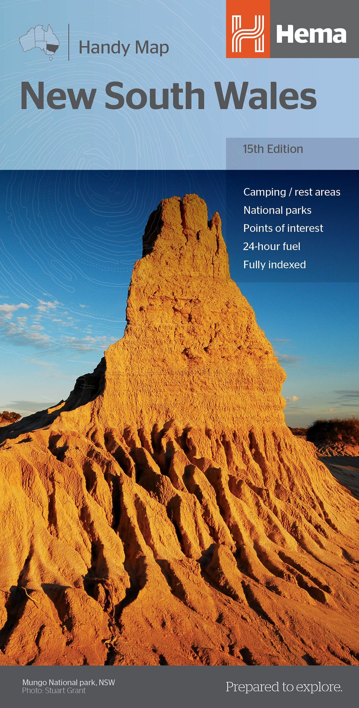
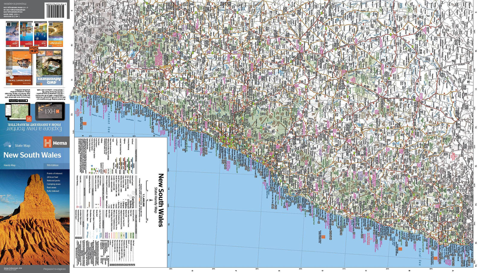
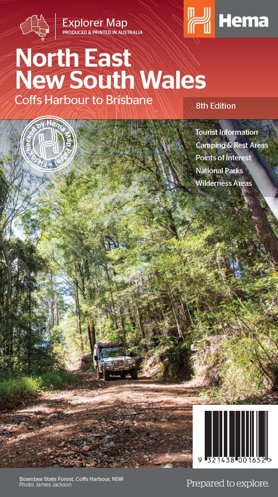
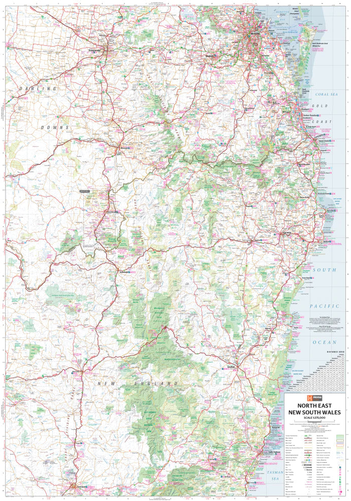
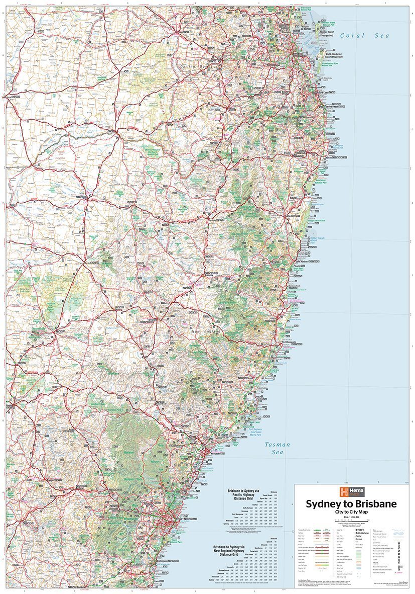
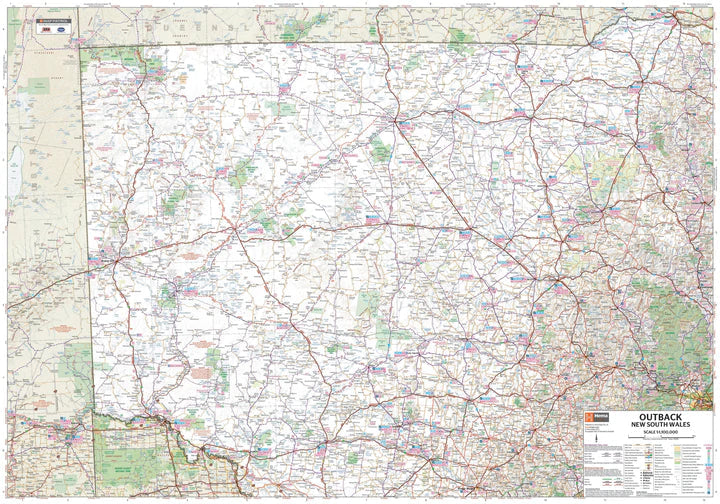
Road map of the North Coast of New South Wales (Australia) published by Hema Maps. It extends from north of Newcastle, west to Mudgee, north to Gunnedah and east to Port Macquarie.
Areas covered on the map include; Gunnedah, Tamworth, Mudgee, Port Macquarie, Maitland, Kempsey, Taree and Forster.
Also includes the following national parks: Barrington Tops NP, Oxley Wild Rivers NP, Hat Head NP, Carrai NP, Werrikimbe NP, Cottan-Bimbang NP, Mummel Gulf NP, Nowendoc NP, Curracabundi NP, Wollemi NP, Goulburn River NP, Yengo NP and Towarri NP.
On the reverse side is a detailed inset map of Barrington Tops National Park (scale 1:100,000) and detailed information on many regions.
Key Features:
- Comprehensive regional map of the New South Wales North Coast
- Camping & Rest Areas
- Fuel Locations
- Points of Interest
- Detailed map of Barrington Tops National Park (scale 1:100,000)
- Detailed list of national parks with facilities
- Visitor Information Centres


