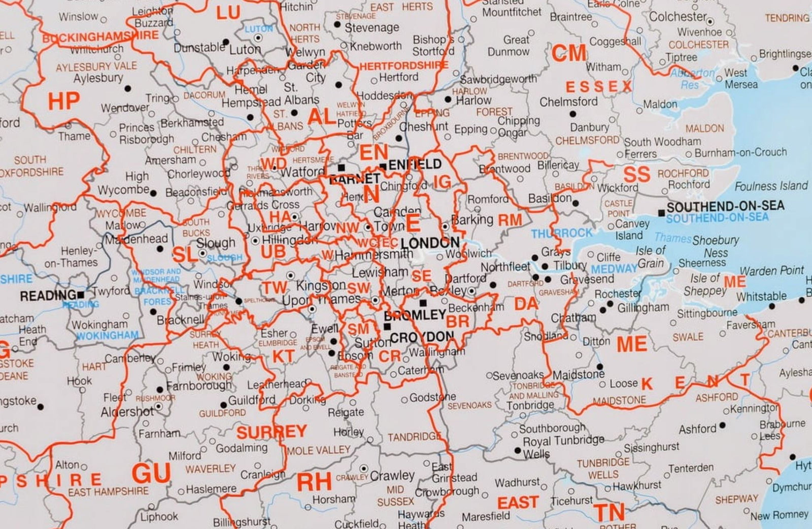
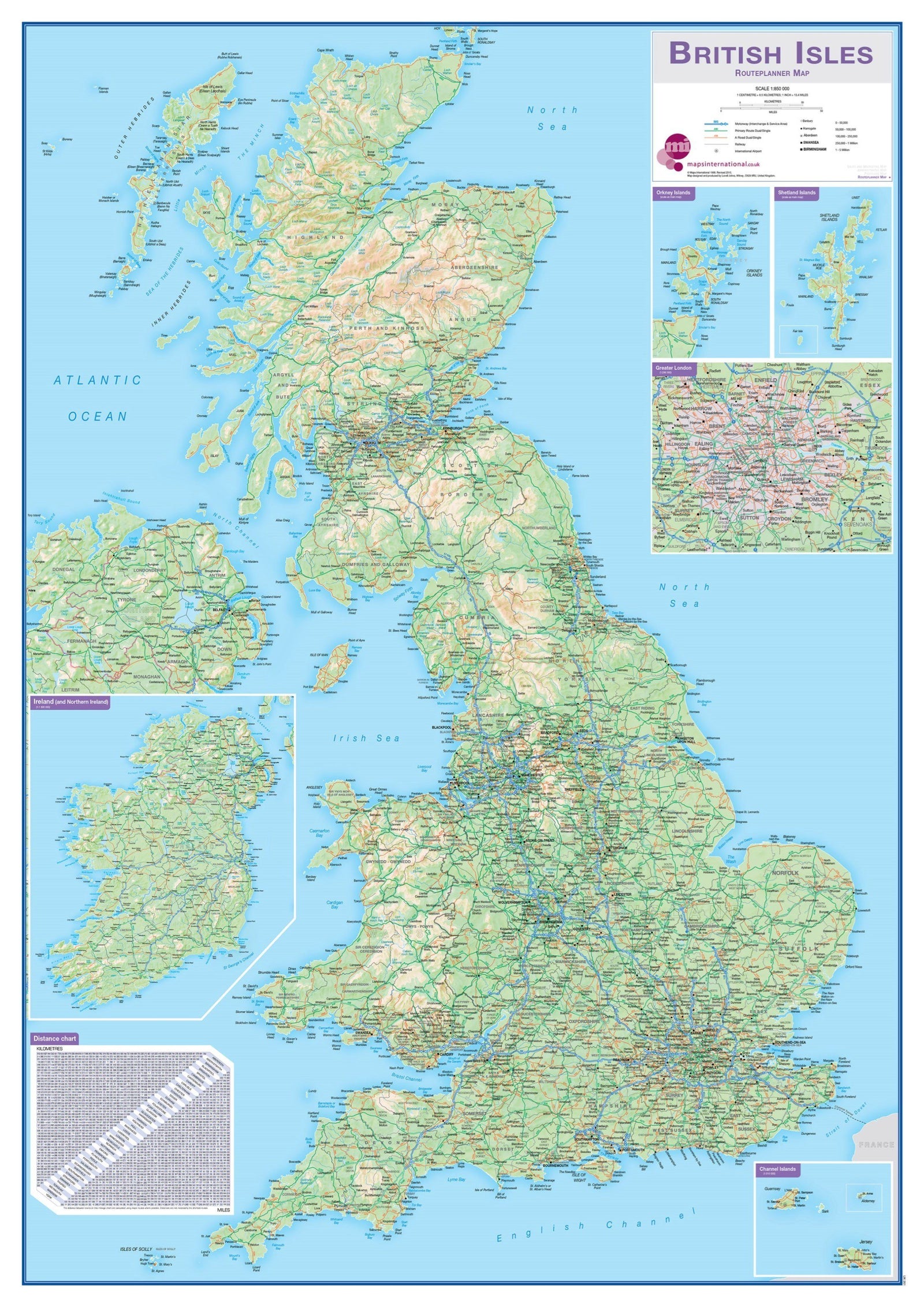
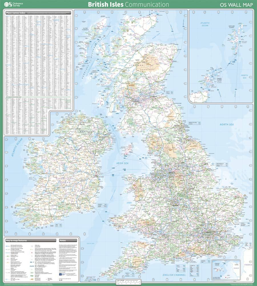
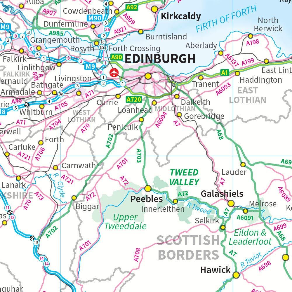
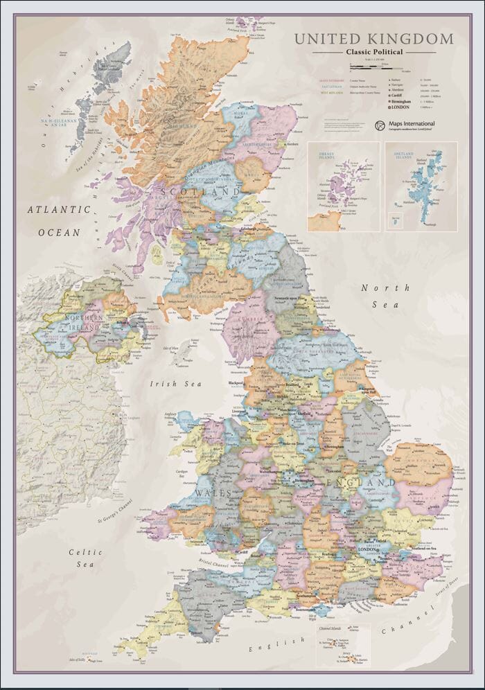
Wall Map (English) - Great Britain & Ireland (Postal Zones) - 84 x 119 cm | Maps International
- Shipping within 7 to 10 working days from our warehouse in France
- Delivery costs calculated instantly in the basket
Over 19,500 maps 🗺️ and travel guides, hiking maps, posters, globes, and decor in stock!
Explore the world, one map at a time 🗺️
Cartovia is rated Excellent ⭐️ on Trustpilot — 9,100+ reviews from explorers and map lovers worldwide.
Cartovia is rated Excellent ⭐️ on Trustpilot — 9,100+ reviews from explorers and map lovers worldwide
Wall map of the postal zones of Great Britain and Ireland (in English).
Dimensions 84 x 119 cm.
ISBN / EAN : 9781904892717
Date de publication : 2015
Echelle : 1/850,000 (1cm=8.5km)
Impression: front
Dimensions déplié(e) : 84 x 119cm
Langue : English
Poids :
300 g
The exclusive newsletter for travel and discovery enthusiasts!