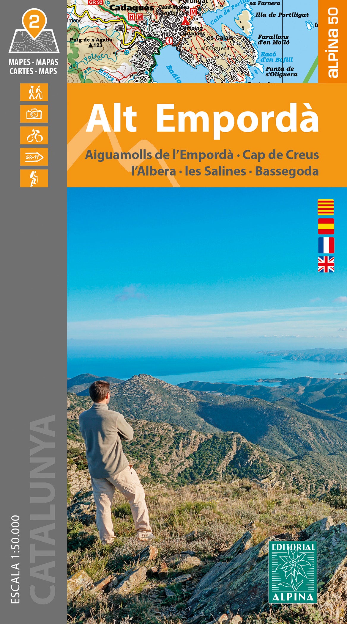
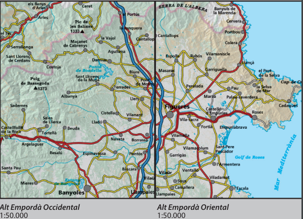
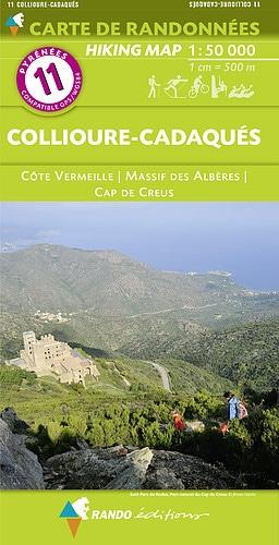
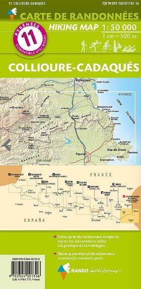
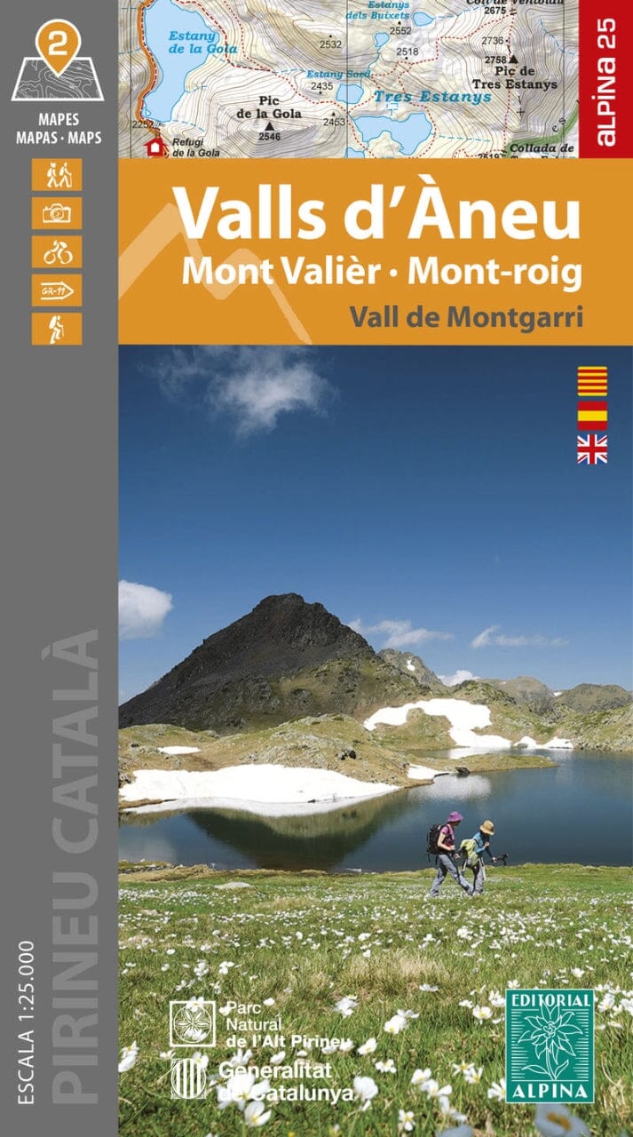
Set of 2 topographic maps - Alt Empordà, Aiguemolls Emporda, Cap de Creus, Albera (Catalonia) | Alpina
Regular price
1650 €
Regular price
Sale price
1650 €
/
- Shipped within 24 to 48h from our warehouse in France
- Free returns (*)
- Real-time stock levels
-
Cartovia Guarantee – Delivery issue?
We resend immediately upon receiving a simple photo.
- In stock, ready to ship