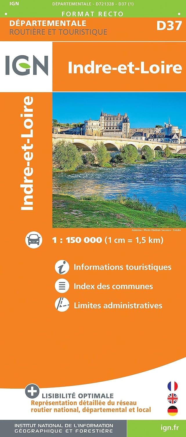
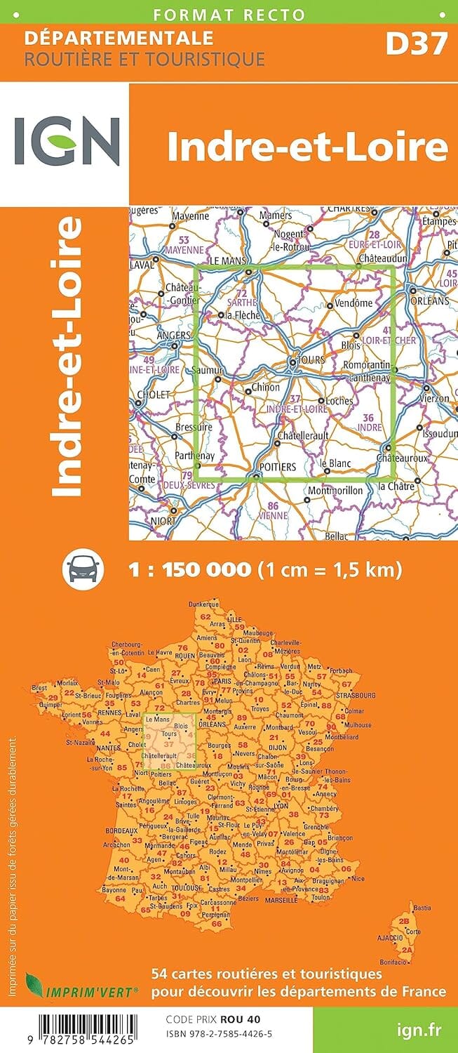
Departmental map D37 - Indre-et-Loire | IGN
- Shipping within 24 working hours from our warehouse in France
- Choose your delivery method and cost at checkout, before confirming your order.
- Free returns (*)
- Real-time inventory
- Low stock - 1 item left
Over 19,500 maps 🗺️ and travel guides, hiking maps, posters, globes, and decor in stock!
Explore the world, one map at a time 🗺️
Cartovia is rated Excellent ⭐️ on Trustpilot — 9,100+ reviews from explorers and map lovers worldwide.
Cartovia is rated Excellent ⭐️ on Trustpilot — 9,100+ reviews from explorers and map lovers worldwide
Road map of the Indre-et-Loire department which includes the free and toll motorway network, main and secondary roads, an index of towns and administrative boundaries.
Scale 1/150,000 (1 cm = 1.5 km).
ISBN/EAN : 9782758544265
Publication date: 2018
Scale: 1/150,000 (1 cm = 1.5 km)
Printed sides: front
Folded dimensions: 11 x 25cm
Language(s): French, English, German
Weight:
80 g
The exclusive newsletter for travel and discovery enthusiasts!