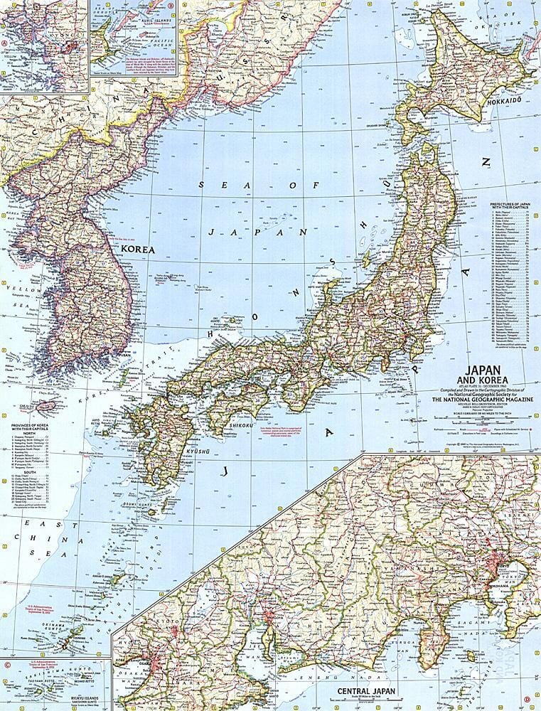
Carte du Japon et de la Corée de 1960 carte murale roulée (en tube) National Geographic Historic POD Default Title

Map of Japan and Korea in 1960

Price
Regular price 2995 €
Regular price Sale price 2995 €
/
  • Shipping within 48 business hours from our warehouse in the USA. For this product, customs fees may be requested by the carrier upon delivery.
  • Choose your delivery method and cost at checkout, before confirming your order.
  • Free returns (*)
  • Real-time inventory
  • In stock, ready to ship
  • Backordered, shipping soon
Tax included.

Related geographic locations and collections:

Historical Maps, Historical maps of Asia, Japan, North Korea, South Korea, Wall Maps

Often purchased together:

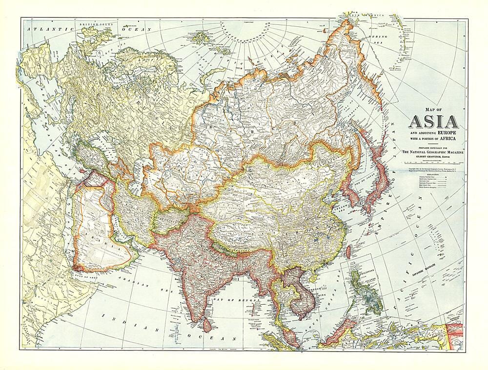
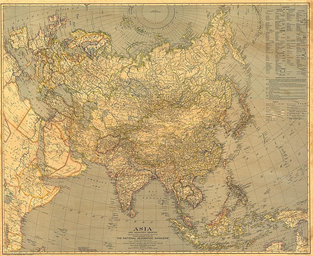
This map of Japan and Korea provides extensive detail about the region, including inset maps of the Ryukyu Islands and islands administered by the USSR. It also shows the prefectures of Japan and the provinces of Korea with their capitals. Published in December 1960.


ISBN/EAN : 2321365M
Publication date: 1960
Unfolded dimensions: 19in / 24.75in
Language(s): English
Weight: 200 g